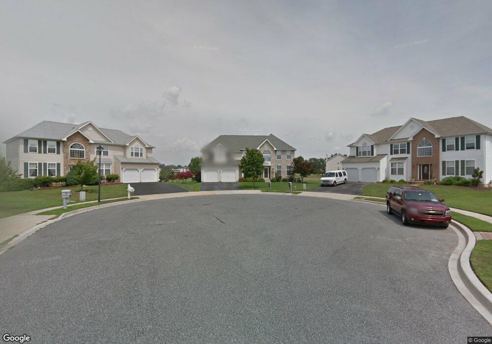
5 Bradley Cir Middletown, DE 19709
Estimated Value: $634,000 - $671,516
4
Beds
3
Baths
4,500
Sq Ft
$145/Sq Ft
Est. Value
About This Home
This home is located at 5 Bradley Cir, Middletown, DE 19709 and is currently estimated at $651,629, approximately $144 per square foot. 5 Bradley Cir is a home located in New Castle County with nearby schools including Silver Lake Elementary School, Louis L. Redding Middle School, and Middletown High School.
Ownership History
Date
Name
Owned For
Owner Type
Purchase Details
Closed on
Sep 2, 2008
Sold by
Sandy Robert D and Sandy Linda E
Bought by
Roscetti Angelo and Roscetti Heather
Current Estimated Value
Home Financials for this Owner
Home Financials are based on the most recent Mortgage that was taken out on this home.
Original Mortgage
$336,150
Outstanding Balance
$225,397
Interest Rate
6.69%
Mortgage Type
Purchase Money Mortgage
Estimated Equity
$426,232
Purchase Details
Closed on
Dec 1, 2003
Sold by
Briggs Mark D and Briggs Bridget B
Bought by
Sandy Robert D and Sandy Linda E
Home Financials for this Owner
Home Financials are based on the most recent Mortgage that was taken out on this home.
Original Mortgage
$280,280
Interest Rate
4.5%
Mortgage Type
Purchase Money Mortgage
Create a Home Valuation Report for This Property
The Home Valuation Report is an in-depth analysis detailing your home's value as well as a comparison with similar homes in the area
Home Values in the Area
Average Home Value in this Area
Purchase History
| Date | Buyer | Sale Price | Title Company |
|---|---|---|---|
| Roscetti Angelo | $373,500 | Landamerica Lawyers Title | |
| Sandy Robert D | $350,350 | -- |
Source: Public Records
Mortgage History
| Date | Status | Borrower | Loan Amount |
|---|---|---|---|
| Open | Roscetti Angelo | $336,150 | |
| Previous Owner | Sandy Robert D | $280,280 | |
| Closed | Sandy Robert D | $34,685 |
Source: Public Records
Tax History Compared to Growth
Tax History
| Year | Tax Paid | Tax Assessment Tax Assessment Total Assessment is a certain percentage of the fair market value that is determined by local assessors to be the total taxable value of land and additions on the property. | Land | Improvement |
|---|---|---|---|---|
| 2024 | $4,498 | $122,100 | $11,800 | $110,300 |
| 2023 | $366 | $122,100 | $11,800 | $110,300 |
| 2022 | $3,754 | $122,100 | $11,800 | $110,300 |
| 2021 | $3,672 | $122,100 | $11,800 | $110,300 |
| 2020 | $3,629 | $122,100 | $11,800 | $110,300 |
| 2019 | $3,729 | $122,100 | $11,800 | $110,300 |
| 2018 | $3,218 | $122,100 | $11,800 | $110,300 |
| 2017 | $3,098 | $122,100 | $11,800 | $110,300 |
| 2016 | $2,783 | $122,100 | $11,800 | $110,300 |
| 2015 | $3,058 | $122,100 | $11,800 | $110,300 |
| 2014 | $3,051 | $122,100 | $11,800 | $110,300 |
Source: Public Records
Map
Nearby Homes
- 434 Spring Hollow Dr
- 1870 Congressional Village Dr Unit 7202
- 1850 Congressional Village Dr Unit 5302
- 1850 UNIT Congressional Village Dr Unit 5104
- 120 Betsy Rawls Dr
- 448 Spring Hollow Dr
- 1 Hogan Cir
- 253 Wickerberry Dr
- 415 Spring Hollow Dr
- 13 Brady Cir
- 830 Sweet Birch Dr
- 620 Village Dr Unit A620
- 851 Sweet Birch Dr
- 622 Lafayette Cir Unit A622
- 732 Cleaver Farm Rd
- 336 Hostetter Blvd
- 601 Village Dr
- 918 Holly Ct
- 300 Hostetter Blvd
- 321 Ellenwood Dr