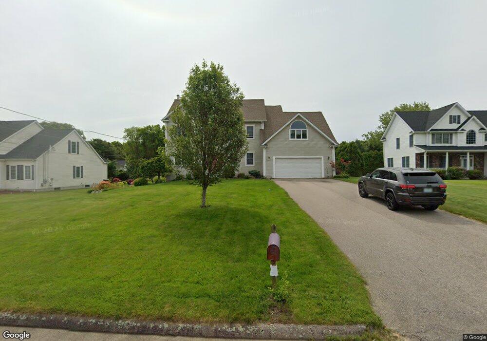
5 Briar Patch Dr Westerly, RI 02891
Estimated Value: $937,774 - $1,223,000
4
Beds
3
Baths
2,727
Sq Ft
$383/Sq Ft
Est. Value
About This Home
This home is located at 5 Briar Patch Dr, Westerly, RI 02891 and is currently estimated at $1,043,444, approximately $382 per square foot. 5 Briar Patch Dr is a home located in Washington County with nearby schools including Westerly High School and St. Michael School.
Ownership History
Date
Name
Owned For
Owner Type
Purchase Details
Closed on
May 25, 2018
Sold by
Amato David J and Amato Dina
Bought by
Amato David J
Current Estimated Value
Home Financials for this Owner
Home Financials are based on the most recent Mortgage that was taken out on this home.
Original Mortgage
$332,000
Outstanding Balance
$285,249
Interest Rate
4.4%
Mortgage Type
New Conventional
Estimated Equity
$758,195
Purchase Details
Closed on
Feb 9, 2001
Sold by
Carlone Vincent T
Bought by
Amato David J and Amato Dina
Home Financials for this Owner
Home Financials are based on the most recent Mortgage that was taken out on this home.
Original Mortgage
$295,900
Interest Rate
7.13%
Mortgage Type
Purchase Money Mortgage
Purchase Details
Closed on
Oct 8, 1999
Sold by
Odonnell Dev Co Llc
Bought by
Caron Victor F
Create a Home Valuation Report for This Property
The Home Valuation Report is an in-depth analysis detailing your home's value as well as a comparison with similar homes in the area
Home Values in the Area
Average Home Value in this Area
Purchase History
| Date | Buyer | Sale Price | Title Company |
|---|---|---|---|
| Amato David J | $127,000 | -- | |
| Amato David J | $313,500 | -- | |
| Caron Victor F | $65,000 | -- |
Source: Public Records
Mortgage History
| Date | Status | Borrower | Loan Amount |
|---|---|---|---|
| Open | Amato David J | $332,000 | |
| Previous Owner | Caron Victor F | $10,000 | |
| Previous Owner | Caron Victor F | $298,000 | |
| Previous Owner | Caron Victor F | $299,000 | |
| Previous Owner | Caron Victor F | $295,900 |
Source: Public Records
Tax History
| Year | Tax Paid | Tax Assessment Tax Assessment Total Assessment is a certain percentage of the fair market value that is determined by local assessors to be the total taxable value of land and additions on the property. | Land | Improvement |
|---|---|---|---|---|
| 2025 | $5,672 | $797,700 | $266,000 | $531,700 |
| 2024 | $6,045 | $616,200 | $180,500 | $435,700 |
| 2023 | $5,928 | $616,200 | $180,500 | $435,700 |
| 2022 | $5,891 | $616,200 | $180,500 | $435,700 |
| 2021 | $5,721 | $496,600 | $156,900 | $339,700 |
| 2020 | $5,617 | $496,600 | $156,900 | $339,700 |
| 2019 | $5,562 | $496,600 | $156,900 | $339,700 |
| 2018 | $5,367 | $451,800 | $156,900 | $294,900 |
| 2017 | $5,236 | $451,800 | $156,900 | $294,900 |
| 2016 | $5,277 | $451,800 | $156,900 | $294,900 |
| 2015 | $5,091 | $470,500 | $160,100 | $310,400 |
| 2014 | $5,006 | $470,500 | $160,100 | $310,400 |
Source: Public Records
Map
Nearby Homes
- 18 Timothy Dr
- 10 Tristam St
- 9 Compass Way Unit 201
- 9 Compass Way Unit 202
- 9 Compass Way Unit 101
- 9 Compass Way Unit 102
- 9 Compass Way Unit 103
- 9 Compass Way Unit 203
- 109 Watch Hill Rd
- 417 River Rd
- 4 Shore Rd
- 23 Summertime Cir
- 22 Summertime Cir
- 45 Summertime Cir
- 38 Summertime Cir
- 16 Green Ave
- 39 Summertime Cir
- 4 Quail Run
- 25 Summertime Cir
- 0 Green Ave
- 3 Briar Patch Dr
- 7 Briar Patch Dr
- 0 Briar Patch Dr
- 11 Briar Patch Dr
- 43 Trolley Ln
- 8 Briar Patch Dr
- 2 Briar Patch Dr
- 10 Nob Ct
- 6 Nob Ct
- 6 Briar Patch Dr
- 4 Briar Patch Dr
- 4 Nob Ct
- 55 Briar Patch Dr
- 65 Briar Patch Dr
- 59 Briar Patch Dr
- 63 Briar Patch Dr
- 47 Trolley Ln
- 10 Briar Patch Dr
- 13 Briar Patch Dr
- 12 Nob Ct
Your Personal Tour Guide
Ask me questions while you tour the home.