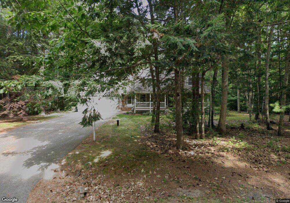
5 Bridle Path Way Gorham, ME 04038
Estimated Value: $699,801 - $733,000
3
Beds
3
Baths
2,465
Sq Ft
$292/Sq Ft
Est. Value
About This Home
This home is located at 5 Bridle Path Way, Gorham, ME 04038 and is currently estimated at $720,450, approximately $292 per square foot. 5 Bridle Path Way is a home located in Cumberland County with nearby schools including Gorham High School.
Create a Home Valuation Report for This Property
The Home Valuation Report is an in-depth analysis detailing your home's value as well as a comparison with similar homes in the area
Home Values in the Area
Average Home Value in this Area
Tax History Compared to Growth
Tax History
| Year | Tax Paid | Tax Assessment Tax Assessment Total Assessment is a certain percentage of the fair market value that is determined by local assessors to be the total taxable value of land and additions on the property. | Land | Improvement |
|---|---|---|---|---|
| 2024 | $7,654 | $520,700 | $152,700 | $368,000 |
| 2023 | $7,160 | $520,700 | $152,700 | $368,000 |
| 2022 | $6,691 | $520,700 | $152,700 | $368,000 |
| 2021 | $6,039 | $311,300 | $114,900 | $196,400 |
| 2020 | $5,915 | $311,300 | $114,900 | $196,400 |
| 2019 | $5,899 | $311,300 | $114,900 | $196,400 |
| 2018 | $5,666 | $311,300 | $114,900 | $196,400 |
| 2017 | $5,323 | $311,300 | $114,900 | $196,400 |
| 2016 | $5,296 | $311,500 | $115,100 | $196,400 |
| 2015 | $4,711 | $289,000 | $115,100 | $173,900 |
| 2014 | $5,029 | $289,000 | $102,900 | $186,100 |
| 2013 | $5,000 | $289,000 | $102,900 | $186,100 |
Source: Public Records
Map
Nearby Homes
- 41 Mitchell Hill Rd
- 8 Mitchell Hill Rd
- lot 2 Meserve Farm Rd
- 4 Meserve Farm Rd
- 9 Burnham Rd
- 16 Thistle Dr Unit C
- 1 Small Pond Rd
- 213 Burnham Rd
- 30 Faith Dr
- 7 Julia Dr
- 20 Fairway Commons Dr Unit 2
- Unit 13 Fairway Commons Dr Unit 13
- 35 Fairway Commons Dr Unit 14
- 76 County Rd
- Lot 72 Martell Way
- 14 David Dr
- 138 Beech Ridge Rd
- 13 Mathew Way
- 15 Silver Brook Cir
- 282 South St