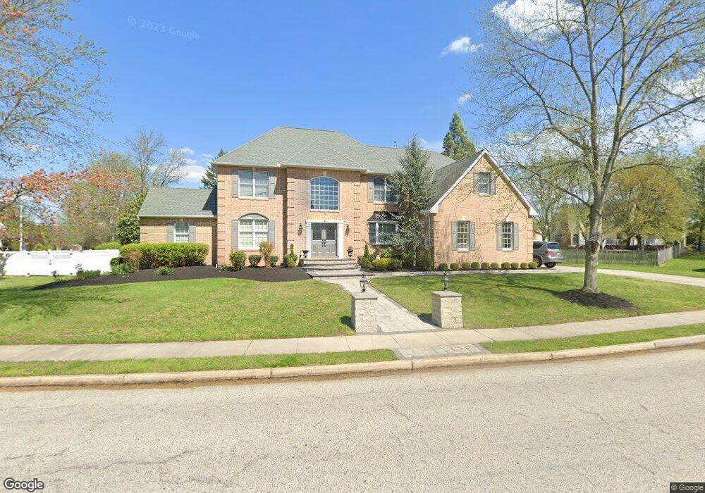
5 Broadacre Dr Mount Laurel, NJ 08054
Estimated Value: $941,000 - $1,111,000
4
Beds
4
Baths
3,760
Sq Ft
$273/Sq Ft
Est. Value
About This Home
This home is located at 5 Broadacre Dr, Mount Laurel, NJ 08054 and is currently estimated at $1,026,662, approximately $273 per square foot. 5 Broadacre Dr is a home located in Burlington County with nearby schools including Springville School, T.E. Harrington Middle School, and Mount Laurel Hartford School.
Ownership History
Date
Name
Owned For
Owner Type
Purchase Details
Closed on
May 20, 2009
Sold by
Boisvert Geoffrey R and Boisvert Patricia A
Bought by
Mathew Jacob and Mathew Nisha
Current Estimated Value
Home Financials for this Owner
Home Financials are based on the most recent Mortgage that was taken out on this home.
Original Mortgage
$31,750
Outstanding Balance
$20,125
Interest Rate
4.83%
Mortgage Type
Credit Line Revolving
Estimated Equity
$1,006,537
Purchase Details
Closed on
Feb 27, 1998
Sold by
Cline Dennis M and Cline Dawn L
Bought by
Boisvert Geoffrey R and Boisvert Patricia A
Home Financials for this Owner
Home Financials are based on the most recent Mortgage that was taken out on this home.
Original Mortgage
$225,000
Interest Rate
6.92%
Purchase Details
Closed on
Feb 16, 1995
Sold by
Ferguson & Flynn Enterprises Inc
Bought by
Cline Dennis M and Cline Dawn L
Create a Home Valuation Report for This Property
The Home Valuation Report is an in-depth analysis detailing your home's value as well as a comparison with similar homes in the area
Home Values in the Area
Average Home Value in this Area
Purchase History
| Date | Buyer | Sale Price | Title Company |
|---|---|---|---|
| Mathew Jacob | $635,000 | None Available | |
| Boisvert Geoffrey R | $350,000 | Surety Title Corporation | |
| Cline Dennis M | $404,095 | First American Title Ins Co |
Source: Public Records
Mortgage History
| Date | Status | Borrower | Loan Amount |
|---|---|---|---|
| Open | Mathew Jacob | $31,750 | |
| Open | Mathew Jacob | $508,000 | |
| Previous Owner | Boisvert Geoffrey R | $225,000 |
Source: Public Records
Tax History Compared to Growth
Tax History
| Year | Tax Paid | Tax Assessment Tax Assessment Total Assessment is a certain percentage of the fair market value that is determined by local assessors to be the total taxable value of land and additions on the property. | Land | Improvement |
|---|---|---|---|---|
| 2025 | $19,529 | $618,600 | $154,300 | $464,300 |
| 2024 | $18,793 | $618,600 | $154,300 | $464,300 |
| 2023 | $18,793 | $618,600 | $154,300 | $464,300 |
| 2022 | $18,379 | $618,600 | $154,300 | $464,300 |
| 2021 | $18,379 | $618,600 | $154,300 | $464,300 |
| 2020 | $18,020 | $618,600 | $154,300 | $464,300 |
| 2019 | $17,834 | $618,600 | $154,300 | $464,300 |
| 2018 | $17,698 | $618,600 | $154,300 | $464,300 |
| 2017 | $17,115 | $614,100 | $154,300 | $459,800 |
| 2016 | $16,857 | $614,100 | $154,300 | $459,800 |
| 2015 | $16,661 | $614,100 | $154,300 | $459,800 |
| 2014 | $16,495 | $614,100 | $154,300 | $459,800 |
Source: Public Records
Map
Nearby Homes
- 3 Abington Rd
- 4907 Church Rd
- 12 Taconia Ct
- 8 Raven Ct
- 23 Emory Ln
- 668 Cascade Dr S
- 420 Elderberry Ct
- 34 Peppergrass Dr N
- 29 Peppergrass Dr N
- 679 Cascade Dr S
- 35 Stanwyck Rd
- 17 White Stone Ct
- 16 Peppergrass Dr N
- 33 W Berwin Way
- 3 Avandale Ct
- 404 Aster Place
- 23 E Oleander Dr
- 2507A Bluegrass Dr
- 6 Keatley Dr
- 20 Raleigh Dr