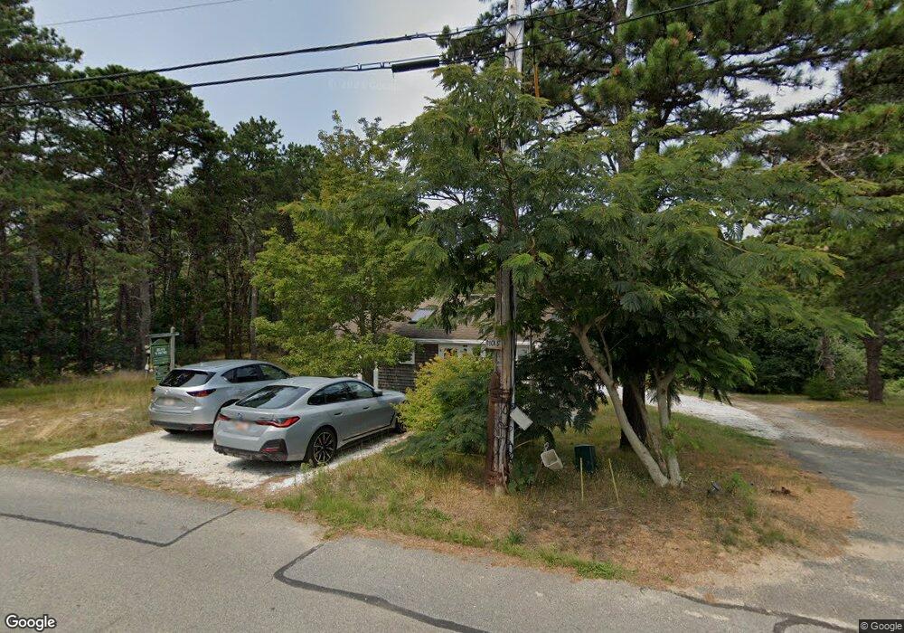
5 Buck St Unit B Wellfleet, MA 02667
Estimated Value: $483,000 - $556,000
2
Beds
1
Bath
484
Sq Ft
$1,071/Sq Ft
Est. Value
About This Home
This home is located at 5 Buck St Unit B, Wellfleet, MA 02667 and is currently estimated at $518,271, approximately $1,070 per square foot. 5 Buck St Unit B is a home located in Barnstable County with nearby schools including Wellfleet Elementary School, Nauset Regional Middle School, and Nauset Regional High School.
Ownership History
Date
Name
Owned For
Owner Type
Purchase Details
Closed on
Nov 9, 2017
Sold by
Judson-Ebbets Mark A and Judson-Ebbets Deborah H
Bought by
Walker Michael and Walker Jean C
Current Estimated Value
Home Financials for this Owner
Home Financials are based on the most recent Mortgage that was taken out on this home.
Original Mortgage
$212,000
Outstanding Balance
$177,174
Interest Rate
3.75%
Mortgage Type
Adjustable Rate Mortgage/ARM
Estimated Equity
$313,012
Purchase Details
Closed on
Oct 29, 1999
Sold by
Adelson Gary I and Adelson Mitchell E
Bought by
Judson-Ebbets Mark A and Judson-Ebbets Deborah
Home Financials for this Owner
Home Financials are based on the most recent Mortgage that was taken out on this home.
Original Mortgage
$55,000
Interest Rate
7.78%
Mortgage Type
Purchase Money Mortgage
Create a Home Valuation Report for This Property
The Home Valuation Report is an in-depth analysis detailing your home's value as well as a comparison with similar homes in the area
Home Values in the Area
Average Home Value in this Area
Purchase History
| Date | Buyer | Sale Price | Title Company |
|---|---|---|---|
| Walker Michael | $265,000 | -- | |
| Walker Jean C | $265,000 | -- | |
| Judson-Ebbets Mark A | $106,000 | -- | |
| Judson-Ebbets Deborah | $106,000 | -- |
Source: Public Records
Mortgage History
| Date | Status | Borrower | Loan Amount |
|---|---|---|---|
| Open | Not Available From The Data Source | $212,000 | |
| Closed | Not Available From The Data Source | $212,000 | |
| Previous Owner | Not Available From The Data Source | $55,000 |
Source: Public Records
Tax History Compared to Growth
Tax History
| Year | Tax Paid | Tax Assessment Tax Assessment Total Assessment is a certain percentage of the fair market value that is determined by local assessors to be the total taxable value of land and additions on the property. | Land | Improvement |
|---|---|---|---|---|
| 2025 | $3,298 | $463,900 | $0 | $463,900 |
| 2024 | $3,106 | $454,800 | $0 | $454,800 |
| 2023 | $2,638 | $379,000 | $0 | $379,000 |
| 2022 | $2,367 | $304,300 | $0 | $304,300 |
| 2021 | $2,214 | $281,700 | $0 | $281,700 |
| 2020 | $2,262 | $291,900 | $0 | $291,900 |
| 2019 | $2,216 | $286,700 | $0 | $286,700 |
| 2018 | $1,945 | $270,900 | $0 | $270,900 |
| 2017 | $1,802 | $265,800 | $0 | $265,800 |
| 2016 | $1,800 | $263,500 | $0 | $263,500 |
| 2015 | $1,752 | $258,400 | $0 | $258,400 |
Source: Public Records
Map
Nearby Homes
- 260 Kendrick Ave Unit 4
- 260 Kendrick Ave Unit 6
- 75 Atwood Ave
- 46 Hiram Hill Rd
- 210 Chequessett Neck Rd Unit C
- 164 Kendrick Ave Unit C
- 164 Kendrick Ave Unit B
- 164 Kendrick Ave Unit 2 & 3
- 35 Holbrook Ave
- 105 W Main St
- 14 Kendrick Ave
- 20 Bank St
- 10 Bank St
- 71 Pole Dike Rd
- 15 Squires Pond Ln
- 223 Main St
- 45 Way 035 Unit C
- 50 Higgins Ln
- 256 Browns Neck Rd
- 135 Marven Way
- 5 Buck St Unit C
- 5 Buck St Unit A
- 5 Buck St Unit 2
- 25 Hiller Ave
- 350 Kendrick Ave
- 29 Buck St
- 30 Hiller Ave
- 35 Hiller Ave
- 25 Pratt Ave
- 315 Kendrick Ave
- 43 Hiller Ave
- 335 Kendrick Ave
- 47 Hiller Ave
- 40 Hiller Ave
- 3064 Baker Ave
- 10 Harrison St
- 1 Harrison St
- 3076 Baker Ave
- 35 Young Ave
- 30 Chequessett Bluff Rd