5 Burning Tree Place Cheshire, CT 06410
Estimated Value: $696,000 - $868,000
5
Beds
6
Baths
3,130
Sq Ft
$239/Sq Ft
Est. Value
About This Home
This home is located at 5 Burning Tree Place, Cheshire, CT 06410 and is currently estimated at $746,723, approximately $238 per square foot. 5 Burning Tree Place is a home located in New Haven County with nearby schools including Darcey School, Chapman School, and Dodd Middle School.
Ownership History
Date
Name
Owned For
Owner Type
Purchase Details
Closed on
Jun 16, 2016
Sold by
Jacobs Willa
Bought by
Weatherby Gail
Current Estimated Value
Purchase Details
Closed on
May 25, 1988
Sold by
Orestis William
Bought by
Jacobs Willa
Home Financials for this Owner
Home Financials are based on the most recent Mortgage that was taken out on this home.
Original Mortgage
$135,000
Interest Rate
10.47%
Create a Home Valuation Report for This Property
The Home Valuation Report is an in-depth analysis detailing your home's value as well as a comparison with similar homes in the area
Home Values in the Area
Average Home Value in this Area
Purchase History
| Date | Buyer | Sale Price | Title Company |
|---|---|---|---|
| Weatherby Gail | $420,000 | -- | |
| Weatherby Gail | $420,000 | -- | |
| Jacobs Willa | $335,000 | -- |
Source: Public Records
Mortgage History
| Date | Status | Borrower | Loan Amount |
|---|---|---|---|
| Previous Owner | Jacobs Willa | $120,000 | |
| Previous Owner | Jacobs Willa | $135,000 |
Source: Public Records
Tax History Compared to Growth
Tax History
| Year | Tax Paid | Tax Assessment Tax Assessment Total Assessment is a certain percentage of the fair market value that is determined by local assessors to be the total taxable value of land and additions on the property. | Land | Improvement |
|---|---|---|---|---|
| 2025 | $10,642 | $357,840 | $0 | $357,840 |
| 2024 | $9,826 | $357,840 | $0 | $357,840 |
| 2023 | $9,332 | $265,940 | $0 | $265,940 |
| 2022 | $9,127 | $265,940 | $0 | $265,940 |
| 2021 | $8,967 | $265,940 | $0 | $265,940 |
| 2020 | $8,835 | $265,940 | $0 | $265,940 |
| 2019 | $8,835 | $265,940 | $0 | $265,940 |
| 2018 | $8,867 | $271,840 | $0 | $271,840 |
| 2017 | $8,683 | $271,840 | $0 | $271,840 |
| 2016 | $8,479 | $271,840 | $0 | $271,840 |
| 2015 | $8,343 | $271,840 | $0 | $271,840 |
| 2014 | $8,223 | $271,840 | $0 | $271,840 |
Source: Public Records
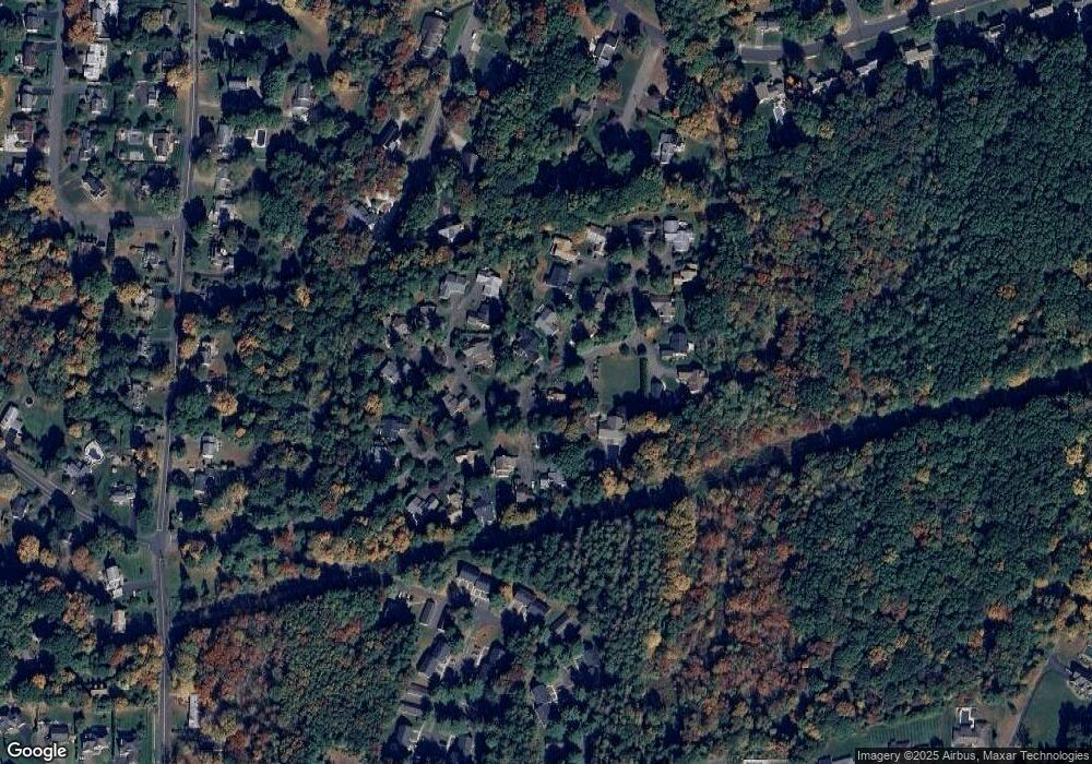
Map
Nearby Homes
- 2 Tunxis Place
- 315 Greens Loop Unit 315
- 294 Greenwood Dr
- 120 Scenic Ct
- 1016 Split Rock Rd
- 749 S Meriden Rd
- 0 S Meriden Rd Unit 3
- 241 Beacon Hill Dr
- 3 Cedar Ln
- 278 Wiese Rd
- 17 Melrose Dr Unit Lot 3
- 458 Castle Glenn
- 21 Melrose Dr Unit Lot 2
- 324 S Meriden Rd
- 435 Maple Ave
- 3 Melrose Dr Unit Lot 9
- 471 E Mitchell Ave
- 1343 Diamond Hill Rd
- 40 Abbey Ct
- 35 Shelley Rd
- 5 Burning Tree Place Unit 5
- 3 Burning Tree Place
- 7 Burning Tree Place
- 7 Racebrook Ct
- 7 Racebrook Ct Unit 7
- 9 Burning Tree Place
- 9 Racebrook Ct
- 9 Racebrook Ct Unit 9
- 5 Racebrook Ct
- 5 Racebrook Ct Unit 5
- 967 Greens Loop
- 967 Greens Loop Unit 967
- 969 Greens Loop
- 969 Greens Loop Unit 969
- 963 Greens Loop
- 963 Greens Loop Unit 963
- 961 Greens Loop
- 961 Greens Loop Unit 961
- 971 Greens Loop
- 965 Greens Loop