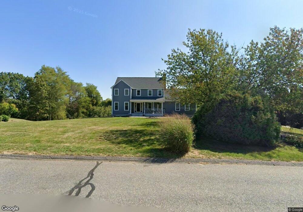
5 Calvins Ln Sterling, MA 01564
Estimated Value: $688,000 - $744,000
4
Beds
4
Baths
2,256
Sq Ft
$316/Sq Ft
Est. Value
About This Home
This home is located at 5 Calvins Ln, Sterling, MA 01564 and is currently estimated at $713,984, approximately $316 per square foot. 5 Calvins Ln is a home located in Worcester County with nearby schools including Wachusett Regional High School, St. Anna Catholic School, and St. Leo School.
Ownership History
Date
Name
Owned For
Owner Type
Purchase Details
Closed on
Feb 24, 2023
Sold by
Kopeski Virginia
Bought by
Virginia A Kopeski Lt
Current Estimated Value
Purchase Details
Closed on
May 28, 1998
Sold by
Allain Lee R and Allain Martha
Bought by
Kopeski Frank J and Kopeski Virginia
Purchase Details
Closed on
Oct 29, 1996
Sold by
Lussier George A
Bought by
Allain Lee R and Allain Martha
Home Financials for this Owner
Home Financials are based on the most recent Mortgage that was taken out on this home.
Original Mortgage
$211,300
Interest Rate
8.22%
Mortgage Type
Purchase Money Mortgage
Create a Home Valuation Report for This Property
The Home Valuation Report is an in-depth analysis detailing your home's value as well as a comparison with similar homes in the area
Home Values in the Area
Average Home Value in this Area
Purchase History
| Date | Buyer | Sale Price | Title Company |
|---|---|---|---|
| Virginia A Kopeski Lt | -- | None Available | |
| Kopeski Frank J | $259,900 | -- | |
| Allain Lee R | $234,800 | -- |
Source: Public Records
Mortgage History
| Date | Status | Borrower | Loan Amount |
|---|---|---|---|
| Previous Owner | Allain Lee R | $211,300 |
Source: Public Records
Tax History
| Year | Tax Paid | Tax Assessment Tax Assessment Total Assessment is a certain percentage of the fair market value that is determined by local assessors to be the total taxable value of land and additions on the property. | Land | Improvement |
|---|---|---|---|---|
| 2025 | $8,564 | $664,900 | $158,700 | $506,200 |
| 2024 | $8,470 | $636,400 | $153,400 | $483,000 |
| 2023 | $7,756 | $542,400 | $145,500 | $396,900 |
| 2022 | $6,936 | $454,800 | $134,600 | $320,200 |
| 2021 | $1,291 | $435,200 | $132,200 | $303,000 |
| 2020 | $7,491 | $445,600 | $144,200 | $301,400 |
| 2019 | $7,169 | $415,100 | $144,200 | $270,900 |
| 2018 | $9,423 | $395,100 | $133,100 | $262,000 |
| 2017 | $0 | $352,500 | $122,100 | $230,400 |
| 2016 | $6,258 | $341,400 | $122,100 | $219,300 |
| 2015 | $5,993 | $346,600 | $132,400 | $214,200 |
| 2014 | $5,768 | $340,700 | $132,400 | $208,300 |
Source: Public Records
Map
Nearby Homes
- 17 Turtle Ln Unit 17
- 2 Turtle Ln Unit 2
- 675 Willard St
- 134 Leominster Rd
- 121 &125 Flanagan Hill Rd
- 1237 Central St Unit 15
- 6A Patriots Way Unit 37
- 23 Lantern Ln
- 12 Gates Crossing
- 193 Bayberry Hill Ln
- 153 Bayberry Hill Ln Unit 153
- 96 Clinton Rd
- 12 Walden Ct
- 0 Brockelman Rd Unit 73424117
- 372 Litchfield St
- 5 Pine Woods Ln
- 6 Chapman Place
- 851 Lancaster St
- 10 Abbey Rd Unit 108
- 45 Neylon St