5 Carol Ann Ln Amherst, NH 03031
Estimated Value: $846,722 - $1,097,000
4
Beds
3
Baths
3,626
Sq Ft
$264/Sq Ft
Est. Value
About This Home
This home is located at 5 Carol Ann Ln, Amherst, NH 03031 and is currently estimated at $956,681, approximately $263 per square foot. 5 Carol Ann Ln is a home located in Hillsborough County with nearby schools including Wilkins Elementary School, Amherst Middle School, and Souhegan Cooperative High School.
Ownership History
Date
Name
Owned For
Owner Type
Purchase Details
Closed on
Jun 23, 2006
Sold by
Buonamano Arthur J and Buonamano Carol A
Bought by
Yurish Stephen A and Yurish Diane E
Current Estimated Value
Home Financials for this Owner
Home Financials are based on the most recent Mortgage that was taken out on this home.
Original Mortgage
$175,000
Interest Rate
6.59%
Mortgage Type
Purchase Money Mortgage
Purchase Details
Closed on
Jun 30, 1997
Sold by
Kelly Edward A and Kelly Elizabeth A
Bought by
Buonamano Arthur J and Buonamano Carol A
Create a Home Valuation Report for This Property
The Home Valuation Report is an in-depth analysis detailing your home's value as well as a comparison with similar homes in the area
Home Values in the Area
Average Home Value in this Area
Purchase History
| Date | Buyer | Sale Price | Title Company |
|---|---|---|---|
| Yurish Stephen A | $511,000 | -- | |
| Buonamano Arthur J | $288,000 | -- |
Source: Public Records
Mortgage History
| Date | Status | Borrower | Loan Amount |
|---|---|---|---|
| Open | Buonamano Arthur J | $240,000 | |
| Closed | Buonamano Arthur J | $225,000 | |
| Closed | Buonamano Arthur J | $50,000 | |
| Closed | Buonamano Arthur J | $175,000 |
Source: Public Records
Tax History Compared to Growth
Tax History
| Year | Tax Paid | Tax Assessment Tax Assessment Total Assessment is a certain percentage of the fair market value that is determined by local assessors to be the total taxable value of land and additions on the property. | Land | Improvement |
|---|---|---|---|---|
| 2024 | $12,456 | $543,200 | $193,200 | $350,000 |
| 2023 | $11,885 | $543,200 | $193,200 | $350,000 |
| 2022 | $11,478 | $543,200 | $193,200 | $350,000 |
| 2021 | $11,576 | $543,200 | $193,200 | $350,000 |
| 2020 | $12,625 | $443,300 | $161,800 | $281,500 |
| 2019 | $11,951 | $443,300 | $161,800 | $281,500 |
| 2018 | $12,071 | $443,300 | $161,800 | $281,500 |
| 2017 | $11,530 | $443,300 | $161,800 | $281,500 |
| 2016 | $11,127 | $443,300 | $161,800 | $281,500 |
| 2015 | $11,662 | $440,400 | $196,800 | $243,600 |
| 2014 | $11,741 | $440,400 | $196,800 | $243,600 |
| 2013 | $11,649 | $440,400 | $196,800 | $243,600 |
Source: Public Records
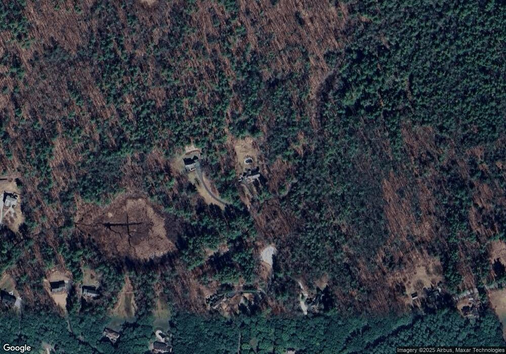
Map
Nearby Homes
- 67 Christian Hill Rd
- 64 Lyndeborough Rd
- 80 Christian Hill Rd
- 4 Bloody Brook Rd
- 23 Bloody Brook Rd
- 57 Patch Hill Ln
- 7 Miles Rd
- 135 Amherst St Unit 28
- 229 Mont Vernon Rd
- 25 Atherton Ln
- 18 Adams St
- 3 Abby Ln Unit 2
- 40 North St
- 6 Whittemore Ln
- 30 Perkins St Unit 1
- 1B Debbie Ln
- 51 Singer Brook Rd
- 3 Renee Dr
- 131 Homestead Cir
- 0 Claude Rd
- 6 Carol Ann Ln
- 4 Carol Ann Ln
- 31 Lyndeborough Rd
- 1 Oneil Way
- 1 O'Neil Way
- 5 Oneil Way
- 5 O'Neil Way
- 2 Carol Ann Ln
- 0 Lyndeborough Rd
- 3 O'Neil Way
- 3 Oneil Way
- 27 Lyndeborough Rd
- 7 Oneil Way
- 7 O'Neil Way
- 16 Candlewood Dr
- 16B Candlewood Dr
- 16A Candlewood Dr
- 46 Lyndeborough Rd
- 26 Lyndeborough Rd
- 54 Christian Hill Rd