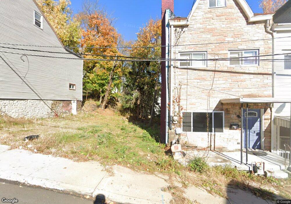
5 Carrie St Pittsburgh, PA 15212
Fineview NeighborhoodEstimated Value: $107,645 - $177,000
2
Beds
1
Bath
1,096
Sq Ft
$120/Sq Ft
Est. Value
About This Home
This home is located at 5 Carrie St, Pittsburgh, PA 15212 and is currently estimated at $131,411, approximately $119 per square foot. 5 Carrie St is a home located in Allegheny County with nearby schools including Pittsburgh King K-8, Pittsburgh Perry High School, and Propel Schools - Northside.
Ownership History
Date
Name
Owned For
Owner Type
Purchase Details
Closed on
Aug 7, 2025
Sold by
Crooks Marie and Crooks Thomas Allen
Bought by
Lemanski Dade
Current Estimated Value
Home Financials for this Owner
Home Financials are based on the most recent Mortgage that was taken out on this home.
Original Mortgage
$116,303
Outstanding Balance
$116,203
Interest Rate
6.77%
Mortgage Type
New Conventional
Estimated Equity
$15,208
Purchase Details
Closed on
Jul 13, 1998
Sold by
Crooks Thomas Allen
Bought by
Crooks Thomas Allen and Crooks Marie
Purchase Details
Closed on
Jan 1, 1900
Create a Home Valuation Report for This Property
The Home Valuation Report is an in-depth analysis detailing your home's value as well as a comparison with similar homes in the area
Home Values in the Area
Average Home Value in this Area
Purchase History
| Date | Buyer | Sale Price | Title Company |
|---|---|---|---|
| Lemanski Dade | $119,900 | -- | |
| Crooks Thomas Allen | -- | -- | |
| -- | -- | -- |
Source: Public Records
Mortgage History
| Date | Status | Borrower | Loan Amount |
|---|---|---|---|
| Open | Lemanski Dade | $116,303 | |
| Closed | Lemanski Dade | $5,000 |
Source: Public Records
Tax History Compared to Growth
Tax History
| Year | Tax Paid | Tax Assessment Tax Assessment Total Assessment is a certain percentage of the fair market value that is determined by local assessors to be the total taxable value of land and additions on the property. | Land | Improvement |
|---|---|---|---|---|
| 2025 | $334 | $14,500 | $14,500 | -- |
| 2024 | $334 | $14,500 | $14,500 | -- |
| 2023 | $334 | $14,500 | $14,500 | $0 |
| 2022 | $330 | $14,500 | $14,500 | $0 |
| 2021 | $330 | $14,500 | $14,500 | $0 |
| 2020 | $328 | $14,500 | $14,500 | $0 |
| 2019 | $328 | $14,500 | $14,500 | $0 |
| 2018 | $110 | $14,500 | $14,500 | $0 |
| 2017 | $328 | $14,500 | $14,500 | $0 |
| 2016 | $69 | $14,500 | $14,500 | $0 |
| 2015 | $69 | $14,500 | $14,500 | $0 |
| 2014 | $321 | $14,500 | $14,500 | $0 |
Source: Public Records
Map
Nearby Homes
- 1616 Myler St
- 170 Henderson St
- 14 Sprain St
- 154 Henderson St
- 1603 Meadville St
- 1701 Meadville St
- 117 Fountain St
- 127 Fountain St
- 124 Fountain St
- 1402 James St
- 38 Rostock St
- 1429 Porterfield St
- 15 Solar St
- 520 Knoll St
- 2035 Biggs Ave
- 1818 Overbeck St
- 1202 James St
- 1113 Linden Place
- 1317 Sandusky St
- 1112 James St