5 Crane Way Gloucester, MA 01930
West Gloucester NeighborhoodEstimated Value: $1,333,000 - $2,068,000
4
Beds
3
Baths
1,540
Sq Ft
$1,100/Sq Ft
Est. Value
About This Home
This home is located at 5 Crane Way, Gloucester, MA 01930 and is currently estimated at $1,693,365, approximately $1,099 per square foot. 5 Crane Way is a home located in Essex County with nearby schools including West Parish, Ralph B O'maley Middle School, and Gloucester High School.
Ownership History
Date
Name
Owned For
Owner Type
Purchase Details
Closed on
May 12, 2020
Sold by
Saunders John J and Saunders Linda L
Bought by
John J Saunders Ret
Current Estimated Value
Purchase Details
Closed on
Dec 24, 2012
Sold by
Saunders Nt
Bought by
Saunders John J and Saunders Linda L
Home Financials for this Owner
Home Financials are based on the most recent Mortgage that was taken out on this home.
Original Mortgage
$137,000
Interest Rate
3.39%
Create a Home Valuation Report for This Property
The Home Valuation Report is an in-depth analysis detailing your home's value as well as a comparison with similar homes in the area
Home Values in the Area
Average Home Value in this Area
Purchase History
| Date | Buyer | Sale Price | Title Company |
|---|---|---|---|
| John J Saunders Ret | -- | None Available | |
| Saunders John J | -- | -- |
Source: Public Records
Mortgage History
| Date | Status | Borrower | Loan Amount |
|---|---|---|---|
| Previous Owner | Saunders John J | $137,000 | |
| Previous Owner | Saunders John J | $100,000 |
Source: Public Records
Tax History
| Year | Tax Paid | Tax Assessment Tax Assessment Total Assessment is a certain percentage of the fair market value that is determined by local assessors to be the total taxable value of land and additions on the property. | Land | Improvement |
|---|---|---|---|---|
| 2025 | $15,722 | $1,617,500 | $880,700 | $736,800 |
| 2024 | $14,699 | $1,510,700 | $838,500 | $672,200 |
| 2023 | $13,687 | $1,292,400 | $715,700 | $576,700 |
| 2022 | $13,208 | $1,126,000 | $622,500 | $503,500 |
| 2021 | $12,746 | $1,024,600 | $566,000 | $458,600 |
| 2020 | $12,738 | $1,033,100 | $566,000 | $467,100 |
| 2019 | $12,858 | $1,013,200 | $539,700 | $473,500 |
| 2018 | $12,316 | $952,500 | $526,500 | $426,000 |
| 2017 | $12,232 | $927,400 | $501,400 | $426,000 |
| 2016 | $11,809 | $867,700 | $479,200 | $388,500 |
| 2015 | $11,343 | $831,000 | $468,300 | $362,700 |
Source: Public Records
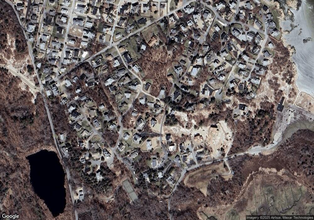
Map
Nearby Homes
- 226 Atlantic St
- 178 Atlantic St
- 167 Atlantic St
- 2 Breezy Point Rd
- 672 Washington St
- 13 Honeysuckle Rd
- 3 Deacon Farm Ln
- 31 Echo Ave
- 7 Colburn St
- 7 Leaman Dr
- 5 Samoset Rd Unit B
- 1030 Washington St
- 13 Mystic Ave
- 8 Mystic Ave
- 6 Monroe Ct
- 145 Essex Ave Unit 402
- 24 Cobblestone Ln Unit 603
- 5 Lepage Ln
- 43 High St Unit B
- 98 Maplewood Ave
- 3 Crane Way
- 19 Waterman Rd
- 20 Waterman Rd
- 10 Elmo Ln
- 2 Longview Terrace
- 17 Waterman Rd
- 4 Crane Way
- 12 Elmo Ln
- 16 Waterman Rd
- 8 Elmo Ln
- 24 Waterman Rd
- 11 Elmo Ln
- 11 Elmo Ln
- 11 Elmo Ln Unit SF
- 3 Longview Terrace
- 9 Elmo Ln
- 18 Waterman Rd Unit 2
- 18 Waterman Rd Unit 2
- 18 Waterman Rd
- 18R Waterman Road Winter Unit 1
Your Personal Tour Guide
Ask me questions while you tour the home.