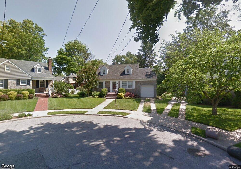
5 Dalston Cir Lynbrook, NY 11563
Estimated Value: $658,000 - $764,131
5
Beds
2
Baths
1,259
Sq Ft
$565/Sq Ft
Est. Value
About This Home
This home is located at 5 Dalston Cir, Lynbrook, NY 11563 and is currently estimated at $711,066, approximately $564 per square foot. 5 Dalston Cir is a home located in Nassau County with nearby schools including Davison Avenue Intermediate School, Maurice W. Downing Primary K-2 School, and Howard T Herber Middle School.
Ownership History
Date
Name
Owned For
Owner Type
Purchase Details
Closed on
Feb 28, 2017
Sold by
Delguidice John Francis and Delguidice Del Guidice
Bought by
Pardo Jose A and Zuniga Rossana E
Current Estimated Value
Home Financials for this Owner
Home Financials are based on the most recent Mortgage that was taken out on this home.
Original Mortgage
$368,000
Outstanding Balance
$305,335
Interest Rate
4.19%
Mortgage Type
New Conventional
Estimated Equity
$405,731
Create a Home Valuation Report for This Property
The Home Valuation Report is an in-depth analysis detailing your home's value as well as a comparison with similar homes in the area
Home Values in the Area
Average Home Value in this Area
Purchase History
| Date | Buyer | Sale Price | Title Company |
|---|---|---|---|
| Pardo Jose A | $460,000 | Madison Avenue Abstracts Inc |
Source: Public Records
Mortgage History
| Date | Status | Borrower | Loan Amount |
|---|---|---|---|
| Open | Pardo Jose A | $368,000 |
Source: Public Records
Tax History
| Year | Tax Paid | Tax Assessment Tax Assessment Total Assessment is a certain percentage of the fair market value that is determined by local assessors to be the total taxable value of land and additions on the property. | Land | Improvement |
|---|---|---|---|---|
| 2025 | $11,679 | $4 | -- | $4 |
| 2024 | $2,992 | $4 | $210 | $4 |
Source: Public Records
Map
Nearby Homes
- 72 Cedar Rd
- 64 Hodson Ave
- 40 Hendrickson Ave
- 63 Central Ave
- 17 Oxford St
- 90 Pearsall Ave
- 57 Carol St
- 102 Franklin Ave
- 205 Hempstead Ave
- 217 Hempstead Ave
- 408 Vincent Ave
- 138 Chestnut St
- 89 Linmouth Rd
- 35 Park Blvd
- 367 Vincent Ave
- 35 Roosevelt Ave
- 175 Hempstead Ave
- 21 Park Ave
- 112 Chestnut St
- 157 Hempstead Ave Unit B20
- 7 Dalston Cir
- 3 Dalston Cir
- 22 Babcock Place
- 28 Babcock Place
- 76 Tilrose Ave
- 16 Babcock Place
- 11 Dalston Cir
- 82 Tilrose Ave
- 68 Tilrose Ave
- 1 Dalston Cir
- 42 Franklin Ave
- 10 Babcock Place
- 34 Franklin Ave Unit 34 B
- 34 Franklin Ave
- 34 Franklin Ave
- 60 Tilrose Ave
- 46 Franklin Ave
- 88 Tilrose Ave
- 21 Babcock Place
- 27 Babcock Place
Your Personal Tour Guide
Ask me questions while you tour the home.