5 Davey Ln Sandyston, NJ 07826
Estimated Value: $361,435 - $467,000
--
Bed
--
Bath
1,770
Sq Ft
$233/Sq Ft
Est. Value
About This Home
This home is located at 5 Davey Ln, Sandyston, NJ 07826 and is currently estimated at $412,359, approximately $232 per square foot. 5 Davey Ln is a home located in Sussex County with nearby schools including Sandyston-Walpack Consolidated School and Kittatinny Regional High School.
Ownership History
Date
Name
Owned For
Owner Type
Purchase Details
Closed on
Aug 22, 2015
Sold by
House Arthur and House Lois
Bought by
House Arthur and House Lois
Current Estimated Value
Purchase Details
Closed on
May 12, 2008
Sold by
Gormley Eugene and Gormley Erma
Bought by
House Arthur and House Lois
Home Financials for this Owner
Home Financials are based on the most recent Mortgage that was taken out on this home.
Original Mortgage
$208,354
Outstanding Balance
$132,156
Interest Rate
5.91%
Mortgage Type
FHA
Estimated Equity
$280,203
Purchase Details
Closed on
Feb 10, 1999
Sold by
Thel Gor Realty Co Inc
Bought by
Gormley Eugene and Gormley Erma
Create a Home Valuation Report for This Property
The Home Valuation Report is an in-depth analysis detailing your home's value as well as a comparison with similar homes in the area
Home Values in the Area
Average Home Value in this Area
Purchase History
| Date | Buyer | Sale Price | Title Company |
|---|---|---|---|
| House Arthur | -- | Title On Demand Of Nj Inc | |
| House Arthur | $210,000 | Cornerstone Abstract & Title | |
| Gormley Eugene | -- | -- |
Source: Public Records
Mortgage History
| Date | Status | Borrower | Loan Amount |
|---|---|---|---|
| Open | House Arthur | $208,354 |
Source: Public Records
Tax History Compared to Growth
Tax History
| Year | Tax Paid | Tax Assessment Tax Assessment Total Assessment is a certain percentage of the fair market value that is determined by local assessors to be the total taxable value of land and additions on the property. | Land | Improvement |
|---|---|---|---|---|
| 2025 | $6,434 | $203,600 | $72,500 | $131,100 |
| 2024 | $6,238 | $203,600 | $72,500 | $131,100 |
| 2023 | $6,238 | $203,600 | $72,500 | $131,100 |
| 2022 | $5,961 | $203,600 | $72,500 | $131,100 |
| 2021 | $5,776 | $203,600 | $72,500 | $131,100 |
| 2020 | $5,536 | $203,600 | $72,500 | $131,100 |
| 2019 | $5,296 | $203,600 | $72,500 | $131,100 |
| 2018 | $5,263 | $203,600 | $72,500 | $131,100 |
| 2017 | $5,173 | $203,600 | $72,500 | $131,100 |
| 2016 | $5,198 | $203,600 | $72,500 | $131,100 |
| 2015 | $5,019 | $203,600 | $72,500 | $131,100 |
| 2014 | $4,907 | $239,000 | $121,200 | $117,800 |
Source: Public Records
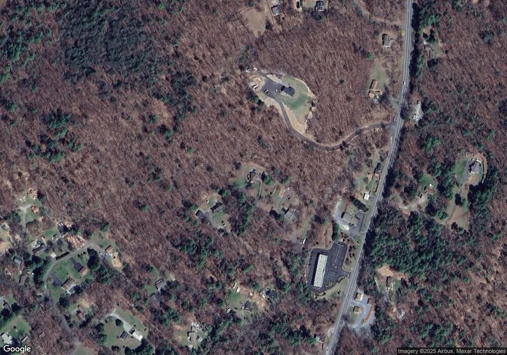
Map
Nearby Homes
- 4 Butternut Ln
- 11 Hirams Grove Rd
- 13 Sunrise Trail
- 113 Rt560
- 113 County Road 560
- 119 Rte 560
- 111 County Road 645
- 155 Route560
- 12 Old Dingman Rd
- 00 Devita Rd
- 43 Meyers Rd
- 161A County Road 645
- 163 County Road 645
- 8 Ayers Rd
- 174 County Road 645
- 3 Volker Ln
- 9 Woods Rd
- 16 Doremus Ln
- 0 Lot85a Unit 755921
- 4 Lake Path 1