5 Devon Ave Beverly, MA 01915
North Beverly NeighborhoodEstimated Value: $874,000 - $929,000
3
Beds
3
Baths
1,904
Sq Ft
$472/Sq Ft
Est. Value
About This Home
This home is located at 5 Devon Ave, Beverly, MA 01915 and is currently estimated at $898,694, approximately $472 per square foot. 5 Devon Ave is a home located in Essex County with nearby schools including Beverly High School, North Shore Christian School, and Waldorf School at Moraine Farm.
Ownership History
Date
Name
Owned For
Owner Type
Purchase Details
Closed on
Apr 26, 2001
Sold by
Ramsey Sheila M and Ramsey Peter R
Bought by
Curtin Laurie M and Curtin Matthew P
Current Estimated Value
Purchase Details
Closed on
May 23, 1997
Sold by
County Homes Inc
Bought by
Ramsey Peter R and Ramsey Sheila M
Purchase Details
Closed on
Nov 26, 1996
Sold by
Crosby W David
Bought by
County Homes Inc
Create a Home Valuation Report for This Property
The Home Valuation Report is an in-depth analysis detailing your home's value as well as a comparison with similar homes in the area
Home Values in the Area
Average Home Value in this Area
Purchase History
| Date | Buyer | Sale Price | Title Company |
|---|---|---|---|
| Curtin Laurie M | $380,000 | -- | |
| Ramsey Peter R | $239,000 | -- | |
| County Homes Inc | $89,000 | -- |
Source: Public Records
Mortgage History
| Date | Status | Borrower | Loan Amount |
|---|---|---|---|
| Open | County Homes Inc | $309,000 | |
| Closed | County Homes Inc | $300,000 | |
| Closed | County Homes Inc | $60,000 |
Source: Public Records
Tax History
| Year | Tax Paid | Tax Assessment Tax Assessment Total Assessment is a certain percentage of the fair market value that is determined by local assessors to be the total taxable value of land and additions on the property. | Land | Improvement |
|---|---|---|---|---|
| 2025 | $8,291 | $754,400 | $409,800 | $344,600 |
| 2024 | $8,087 | $720,100 | $375,500 | $344,600 |
| 2023 | $7,499 | $666,000 | $335,400 | $330,600 |
| 2022 | $7,645 | $628,200 | $295,400 | $332,800 |
| 2021 | $7,165 | $564,200 | $253,500 | $310,700 |
| 2020 | $7,923 | $541,300 | $230,600 | $310,700 |
| 2019 | $6,342 | $517,700 | $219,200 | $298,500 |
| 2018 | $6,211 | $456,700 | $205,800 | $250,900 |
| 2017 | $6,052 | $423,800 | $167,700 | $256,100 |
| 2016 | $5,880 | $408,600 | $152,500 | $256,100 |
| 2015 | $5,765 | $408,600 | $152,500 | $256,100 |
Source: Public Records
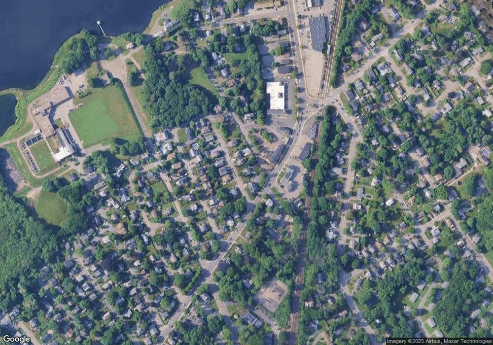
Map
Nearby Homes
- 3 Lakeside Ave
- 19 Berrywood Ln
- 12 Stewart Ln
- 29 Conant St
- 18 Dunham Rd
- 98 Northridge Rd Unit 98
- 61 Ellsworth Ave
- 4 Pinewood Ave
- 50 Balch St Unit 300
- 50 Balch St Unit 200
- 50 Balch St Unit 205
- 50 Balch St Unit 206
- 50 Balch St Unit 308
- 50 Balch St Unit 511
- 50 Balch St Unit 209
- 50 Balch St Unit 409
- 50 Balch St Unit 316
- 50 Balch St Unit 315
- 50 Balch St Unit 103
- 50 Balch St Unit 208
- 7 Devon Ave
- 9 Devon Ave
- 4 Devon Ave
- 2 Devon Ave Unit 2
- 6 Devon Ave Unit 3
- 6 Devon Ave Unit 2
- 6 Devon Ave Unit 1
- 8 Devon Ave Unit 3
- 8 Devon Ave Unit 2
- 6 - 8 1/2 Devon Ave Unit 1
- 2 Devon Ave
- 10 Devon Ave
- 127 Dodge St
- 127 Dodge St Unit 1
- 127 Dodge St Unit 3
- 127 Dodge St Unit 2
- 8.5 Devon Ave Unit 3
- 132 Dodge St
- 132 Dodge St Unit 4
- 131 Dodge St Unit 6
Your Personal Tour Guide
Ask me questions while you tour the home.