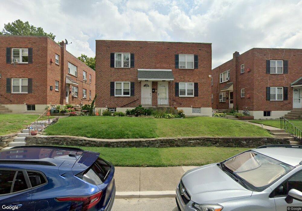
5 E Park Rd Havertown, PA 19083
Estimated Value: $446,000 - $488,495
4
Beds
2
Baths
1,764
Sq Ft
$265/Sq Ft
Est. Value
About This Home
This home is located at 5 E Park Rd, Havertown, PA 19083 and is currently estimated at $467,374, approximately $264 per square foot. 5 E Park Rd is a home located in Delaware County with nearby schools including Chatham Park Elementary School, Haverford Middle School, and Haverford Senior High School.
Ownership History
Date
Name
Owned For
Owner Type
Purchase Details
Closed on
Dec 26, 2022
Sold by
Rice Lindsay T
Bought by
Karpinski Stephen
Current Estimated Value
Home Financials for this Owner
Home Financials are based on the most recent Mortgage that was taken out on this home.
Original Mortgage
$360,000
Outstanding Balance
$348,825
Interest Rate
6.58%
Mortgage Type
Construction
Estimated Equity
$118,549
Purchase Details
Closed on
Feb 18, 2021
Sold by
Rice Lindsay T and Rice Toby
Bought by
Rice Lindsay T
Home Financials for this Owner
Home Financials are based on the most recent Mortgage that was taken out on this home.
Original Mortgage
$285,000
Interest Rate
2.8%
Mortgage Type
New Conventional
Purchase Details
Closed on
May 13, 1997
Sold by
Child Stanley G and Child Faith H
Bought by
Rice Toby
Create a Home Valuation Report for This Property
The Home Valuation Report is an in-depth analysis detailing your home's value as well as a comparison with similar homes in the area
Home Values in the Area
Average Home Value in this Area
Purchase History
| Date | Buyer | Sale Price | Title Company |
|---|---|---|---|
| Karpinski Stephen | $400,000 | -- | |
| Rice Lindsay T | -- | Brendan Abstract Company | |
| Rice Toby | $4,664 | -- |
Source: Public Records
Mortgage History
| Date | Status | Borrower | Loan Amount |
|---|---|---|---|
| Open | Karpinski Stephen | $360,000 | |
| Previous Owner | Rice Lindsay T | $285,000 |
Source: Public Records
Tax History
| Year | Tax Paid | Tax Assessment Tax Assessment Total Assessment is a certain percentage of the fair market value that is determined by local assessors to be the total taxable value of land and additions on the property. | Land | Improvement |
|---|---|---|---|---|
| 2025 | $6,338 | $246,500 | $61,740 | $184,760 |
| 2024 | $6,338 | $246,500 | $61,740 | $184,760 |
| 2023 | $6,158 | $246,500 | $61,740 | $184,760 |
| 2022 | $6,014 | $246,500 | $61,740 | $184,760 |
| 2021 | $9,798 | $246,500 | $61,740 | $184,760 |
| 2020 | $4,460 | $95,960 | $44,100 | $51,860 |
| 2019 | $4,378 | $95,960 | $44,100 | $51,860 |
| 2018 | $4,303 | $95,960 | $0 | $0 |
| 2017 | $4,212 | $95,960 | $0 | $0 |
| 2016 | $537 | $95,960 | $0 | $0 |
| 2015 | $537 | $95,960 | $0 | $0 |
| 2014 | $537 | $95,960 | $0 | $0 |
Source: Public Records
Map
Nearby Homes
- 2406 W Township Line Rd
- 110 E Township Line Rd
- 8525 Monroe Ave
- 221 E Park Rd
- 447 W Chester Pike
- 40 Fulmer Ave
- 2262 Dermond Ave
- 2237 S Harwood Ave
- 85 S Harwood Ave
- 45 S Brighton Ave
- 1214 Roosevelt Dr
- 210 Farnham Rd
- 224 Farnham Rd
- 506 Greenview Ln
- 1101 Wilson Dr
- 1114 Roosevelt Dr
- 1105 Roosevelt Dr
- 1133 Agnew Dr
- 1210 Bryan St
- 216 Brentwood Rd
- 5 E Park Rd Unit 5A
- 3 E Park Rd
- 7 E Park Rd
- 9 E Park Rd Unit B
- 9 E Park Rd
- 11 E Park Rd Unit E
- 11 E Park Rd Unit EFFICIENCY
- 11 E Park Rd Unit A
- 11 E Park Rd
- 4 E Park Rd
- 234 Darby Rd
- 6 E Park Rd
- 0 254 Unit 3f98e0d099
- 10 E Park Rd
- 2 W Park Rd
- 224 Darby Rd
- 224 Darby Rd
- 301 Darby Rd
- 4 W Park Rd
- 220 Darby Rd
Your Personal Tour Guide
Ask me questions while you tour the home.