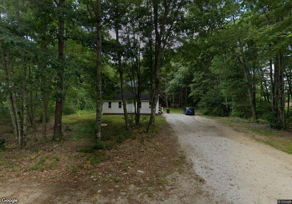
5 Ferncroft Rd Buxton, ME 04093
Estimated Value: $318,000 - $497,000
3
Beds
2
Baths
1,728
Sq Ft
$248/Sq Ft
Est. Value
About This Home
This home is located at 5 Ferncroft Rd, Buxton, ME 04093 and is currently estimated at $429,304, approximately $248 per square foot. 5 Ferncroft Rd is a home with nearby schools including Bonny Eagle High School.
Ownership History
Date
Name
Owned For
Owner Type
Purchase Details
Closed on
Oct 10, 2022
Sold by
Quarles Mavie
Bought by
Manchester Jeffrey N and Quarles Jasmine
Current Estimated Value
Home Financials for this Owner
Home Financials are based on the most recent Mortgage that was taken out on this home.
Original Mortgage
$160,000
Outstanding Balance
$153,425
Interest Rate
5.55%
Mortgage Type
Purchase Money Mortgage
Estimated Equity
$275,879
Purchase Details
Closed on
May 4, 2020
Sold by
Quarles Edward S Est
Bought by
Quarles Mavie M
Create a Home Valuation Report for This Property
The Home Valuation Report is an in-depth analysis detailing your home's value as well as a comparison with similar homes in the area
Home Values in the Area
Average Home Value in this Area
Purchase History
| Date | Buyer | Sale Price | Title Company |
|---|---|---|---|
| Manchester Jeffrey N | $200,000 | None Available | |
| Quarles Mavie M | -- | None Available |
Source: Public Records
Mortgage History
| Date | Status | Borrower | Loan Amount |
|---|---|---|---|
| Open | Manchester Jeffrey N | $160,000 |
Source: Public Records
Tax History Compared to Growth
Tax History
| Year | Tax Paid | Tax Assessment Tax Assessment Total Assessment is a certain percentage of the fair market value that is determined by local assessors to be the total taxable value of land and additions on the property. | Land | Improvement |
|---|---|---|---|---|
| 2024 | $3,190 | $290,300 | $99,500 | $190,800 |
| 2023 | $3,028 | $290,300 | $99,500 | $190,800 |
| 2022 | $3,001 | $293,100 | $99,500 | $193,600 |
| 2021 | $2,713 | $187,620 | $60,800 | $126,820 |
| 2020 | $2,735 | $187,620 | $60,800 | $126,820 |
| 2019 | $2,493 | $168,200 | $60,800 | $107,400 |
| 2018 | $1,954 | $168,200 | $60,800 | $107,400 |
| 2017 | $1,880 | $168,200 | $60,800 | $107,400 |
| 2016 | $2,195 | $168,200 | $60,800 | $107,400 |
| 2015 | $2,178 | $168,200 | $60,800 | $107,400 |
| 2014 | $2,215 | $174,400 | $60,800 | $113,600 |
| 2013 | $2,180 | $174,400 | $60,800 | $113,600 |
Source: Public Records
Map
Nearby Homes
- Lot #13 Johnson Farm Rd
- 11 Albert Cir
- 9 Bonita Way
- 380 Portland Rd
- 1255 Long Plains Rd
- 28 E East Wind Dr
- 430 Narragansett Trail
- 1228 Long Plains Rd
- 121 Rankin Rd
- 48 Tickle Way
- 177 Old Orchard Rd
- 29 Eaton Dr
- 00 Deering Dr
- 222 Main St
- 1118 River Rd
- 7 Mathew Way
- 13 Mathew Way
- 10 Mathew Way
- 14 David Dr
- 20 River Woods