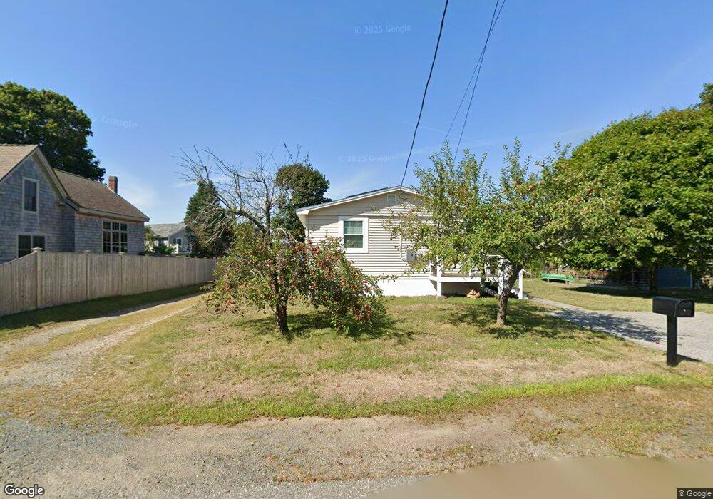
5 Field Rd Gloucester, MA 01930
Magnolia NeighborhoodEstimated Value: $624,000 - $763,000
3
Beds
3
Baths
1,056
Sq Ft
$637/Sq Ft
Est. Value
About This Home
This home is located at 5 Field Rd, Gloucester, MA 01930 and is currently estimated at $673,001, approximately $637 per square foot. 5 Field Rd is a home located in Essex County with nearby schools including West Parish, Ralph B O'maley Middle School, and Gloucester High School.
Ownership History
Date
Name
Owned For
Owner Type
Purchase Details
Closed on
Nov 29, 2023
Sold by
Sanborn Ellen M
Bought by
Ellen M Sanborn Ret and Sanborn
Current Estimated Value
Purchase Details
Closed on
Sep 29, 2023
Sold by
Michael Allan D
Bought by
Sanborn Ellen M
Home Financials for this Owner
Home Financials are based on the most recent Mortgage that was taken out on this home.
Original Mortgage
$300,000
Interest Rate
7.09%
Mortgage Type
Purchase Money Mortgage
Purchase Details
Closed on
Jun 25, 2009
Sold by
Brittain Barbara A
Bought by
Michael Allan D
Home Financials for this Owner
Home Financials are based on the most recent Mortgage that was taken out on this home.
Original Mortgage
$237,500
Interest Rate
4.92%
Mortgage Type
Purchase Money Mortgage
Create a Home Valuation Report for This Property
The Home Valuation Report is an in-depth analysis detailing your home's value as well as a comparison with similar homes in the area
Home Values in the Area
Average Home Value in this Area
Purchase History
| Date | Buyer | Sale Price | Title Company |
|---|---|---|---|
| Ellen M Sanborn Ret | -- | None Available | |
| Sanborn Ellen M | $601,000 | None Available | |
| Michael Allan D | $250,000 | -- |
Source: Public Records
Mortgage History
| Date | Status | Borrower | Loan Amount |
|---|---|---|---|
| Previous Owner | Sanborn Ellen M | $300,000 | |
| Previous Owner | Michael Allan D | $238,294 | |
| Previous Owner | Michael Allan D | $237,500 | |
| Previous Owner | Michael Allan D | $204,000 |
Source: Public Records
Tax History
| Year | Tax Paid | Tax Assessment Tax Assessment Total Assessment is a certain percentage of the fair market value that is determined by local assessors to be the total taxable value of land and additions on the property. | Land | Improvement |
|---|---|---|---|---|
| 2025 | $4,617 | $475,000 | $292,800 | $182,200 |
| 2024 | $5,410 | $556,000 | $278,900 | $277,100 |
| 2023 | $5,397 | $509,600 | $249,000 | $260,600 |
| 2022 | $5,118 | $436,300 | $216,600 | $219,700 |
| 2021 | $5,186 | $416,900 | $196,900 | $220,000 |
| 2020 | $4,731 | $383,700 | $185,600 | $198,100 |
| 2019 | $4,707 | $370,900 | $185,600 | $185,300 |
| 2018 | $4,656 | $360,100 | $185,600 | $174,500 |
| 2017 | $4,581 | $347,300 | $176,800 | $170,500 |
| 2016 | $4,261 | $313,100 | $167,800 | $145,300 |
| 2015 | $4,234 | $310,200 | $167,800 | $142,400 |
Source: Public Records
Map
Nearby Homes
- 53 Raymond St
- 2 Ocean Ave Unit 2K
- 24 Flume Rd
- 468 Summer St
- 450 Summer St
- 239 Summer St
- 8 Forest St
- 4 Cobb Ave
- 6 Smith Ln Unit 6
- 25 Masconomo St
- 368 Essex Ave
- 5 Marshfield St
- 100 Eastern Point Blvd
- 45 School St
- 8 Flatley Ave
- 5 Lepage Ln
- 24 Cobblestone Ln Unit 603
- 26 Central St
- 5 Samoset Rd Unit B
- 145 Essex Ave Unit 402
Your Personal Tour Guide
Ask me questions while you tour the home.