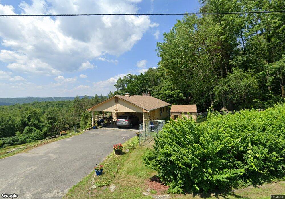
5 George Lamb Rd Bernardston, MA 01337
Leyden NeighborhoodEstimated Value: $396,798 - $472,000
3
Beds
2
Baths
2,000
Sq Ft
$211/Sq Ft
Est. Value
About This Home
This home is located at 5 George Lamb Rd, Bernardston, MA 01337 and is currently estimated at $421,700, approximately $210 per square foot. 5 George Lamb Rd is a home located in Franklin County with nearby schools including Pioneer Valley Regional.
Ownership History
Date
Name
Owned For
Owner Type
Purchase Details
Closed on
Jun 11, 1999
Sold by
Lucci Raymond A
Bought by
Taylor Robert and Hardesty Robert
Current Estimated Value
Home Financials for this Owner
Home Financials are based on the most recent Mortgage that was taken out on this home.
Original Mortgage
$103,500
Outstanding Balance
$26,959
Interest Rate
6.9%
Mortgage Type
Purchase Money Mortgage
Estimated Equity
$394,741
Purchase Details
Closed on
May 30, 1996
Sold by
Hartman Peter R and Hartman Deborah J
Bought by
Lucci Raymond A
Home Financials for this Owner
Home Financials are based on the most recent Mortgage that was taken out on this home.
Original Mortgage
$86,000
Interest Rate
7.91%
Mortgage Type
Purchase Money Mortgage
Purchase Details
Closed on
Dec 30, 1992
Sold by
Garamom Stanley A and Garanin Helena M
Bought by
Hartman Peter R and Hartman Deborah J
Home Financials for this Owner
Home Financials are based on the most recent Mortgage that was taken out on this home.
Original Mortgage
$110,500
Interest Rate
8.32%
Mortgage Type
Purchase Money Mortgage
Create a Home Valuation Report for This Property
The Home Valuation Report is an in-depth analysis detailing your home's value as well as a comparison with similar homes in the area
Home Values in the Area
Average Home Value in this Area
Purchase History
| Date | Buyer | Sale Price | Title Company |
|---|---|---|---|
| Taylor Robert | $143,500 | -- | |
| Lucci Raymond A | $131,000 | -- | |
| Hartman Peter R | $130,000 | -- |
Source: Public Records
Mortgage History
| Date | Status | Borrower | Loan Amount |
|---|---|---|---|
| Open | Hartman Peter R | $103,500 | |
| Previous Owner | Hartman Peter R | $86,000 | |
| Previous Owner | Hartman Peter R | $110,500 |
Source: Public Records
Tax History Compared to Growth
Tax History
| Year | Tax Paid | Tax Assessment Tax Assessment Total Assessment is a certain percentage of the fair market value that is determined by local assessors to be the total taxable value of land and additions on the property. | Land | Improvement |
|---|---|---|---|---|
| 2025 | $38 | $246,700 | $98,900 | $147,800 |
| 2024 | $3,686 | $246,700 | $98,900 | $147,800 |
| 2023 | $3,678 | $242,300 | $96,400 | $145,900 |
| 2022 | $3,612 | $223,800 | $85,800 | $138,000 |
| 2021 | $3,617 | $216,700 | $85,800 | $130,900 |
| 2020 | $3,594 | $211,300 | $78,700 | $132,600 |
| 2019 | $0 | $201,400 | $74,900 | $126,500 |
| 2018 | $4,804 | $201,400 | $74,900 | $126,500 |
| 2015 | $3,317 | $193,200 | $73,900 | $119,300 |
Source: Public Records
Map
Nearby Homes
- 660 Greenfield Rd
- 66 Reil Ln
- 376 E Hill Rd
- 319 Greenfield Rd
- 295 Jacksonville Rd
- 21 River St
- 218 Greenfield Rd
- 15 Main Rd
- 544 Fox Hill Rd (Vacant Land)
- 539 Fox Hill Rd
- Lot 9 Fox Hill Rd (Off)
- 704 Brattleboro Rd
- 775 Brattleboro Rd
- 727 Brattleboro Rd
- 0 Fiske Mill Rd
- 0 Jacksonville Rd
- 83 Eden Trail Branch
- 3+5 Church St
- 34 Brookside Ave
- 151 Smead Hill Rd
- 0 W Leyden Rd
- 02 W Leyden Rd
- 00 W Leyden Rd
- 0 George Lamb Rd
- 241 W Leyden Rd
- 234 W Leyden Rd
- 271 W Leyden Rd
- 228 W Leyden Rd
- 215 W Leyden Rd
- 279 W Leyden Rd
- 202 W Leyden Rd
- 96 Bridge Ln
- 44 N County Rd
- 30 N County Rd
- 22 N County Rd
- 310 W Leyden Rd
- 10 N County Rd
- 0 N County Rd
- 62 George Lamb Rd
- 71 George Lamb Rd