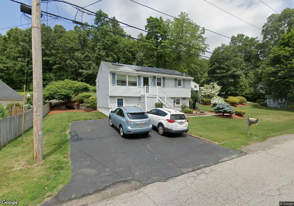
5 Gover Rd Millbury, MA 01527
Estimated Value: $405,073 - $447,000
3
Beds
1
Bath
900
Sq Ft
$468/Sq Ft
Est. Value
About This Home
This home is located at 5 Gover Rd, Millbury, MA 01527 and is currently estimated at $421,518, approximately $468 per square foot. 5 Gover Rd is a home located in Worcester County with nearby schools including Elmwood Street Elementary School, Raymond E. Shaw Elementary School, and Millbury Junior/Senior High School.
Ownership History
Date
Name
Owned For
Owner Type
Purchase Details
Closed on
Feb 26, 2014
Sold by
Ayotte Lee A and Ayotte Kathryn A
Bought by
Ayotte Irt and Ayotte
Current Estimated Value
Create a Home Valuation Report for This Property
The Home Valuation Report is an in-depth analysis detailing your home's value as well as a comparison with similar homes in the area
Home Values in the Area
Average Home Value in this Area
Purchase History
| Date | Buyer | Sale Price | Title Company |
|---|---|---|---|
| Ayotte Irt | -- | -- | |
| Ayotte Irt | -- | -- |
Source: Public Records
Mortgage History
| Date | Status | Borrower | Loan Amount |
|---|---|---|---|
| Previous Owner | Ayotte Irt | $200,000 | |
| Previous Owner | Ayotte Irt | $28,300 |
Source: Public Records
Tax History Compared to Growth
Tax History
| Year | Tax Paid | Tax Assessment Tax Assessment Total Assessment is a certain percentage of the fair market value that is determined by local assessors to be the total taxable value of land and additions on the property. | Land | Improvement |
|---|---|---|---|---|
| 2025 | $5,086 | $379,800 | $114,500 | $265,300 |
| 2024 | $4,665 | $352,600 | $106,100 | $246,500 |
| 2023 | $4,300 | $297,600 | $74,400 | $223,200 |
| 2022 | $4,014 | $267,600 | $74,400 | $193,200 |
| 2021 | $13,600 | $256,300 | $74,400 | $181,900 |
| 2020 | $4,053 | $264,400 | $74,400 | $190,000 |
| 2019 | $4,118 | $259,800 | $74,000 | $185,800 |
| 2018 | $11,819 | $249,100 | $74,000 | $175,100 |
| 2017 | $3,684 | $224,200 | $74,000 | $150,200 |
| 2016 | $3,462 | $210,300 | $74,000 | $136,300 |
| 2015 | $3,397 | $206,400 | $75,300 | $131,100 |
| 2014 | $3,319 | $194,100 | $78,700 | $115,400 |
Source: Public Records
Map
Nearby Homes
- 64 Millbury Ave
- 123 Riverlin St
- 15 Rayburn Dr
- 90 Macarthur Dr
- 17 Atwood Ave
- 52 Clearview Terrace Unit 39
- 16 Jackie Dr
- 12 Alstead Path
- 20 Woodridge Rd
- 40 River St
- 15 Clearview Terrace Unit 68
- 19 Rice Rd
- 30 Lexington Rd
- 2 Diane St
- 4 Thomas Hill Rd
- 86 Wheelock Ave
- Lot 1 Cooper Rd
- 8 Autumn Gate Cir
- 16 Elm Ct
- 90 Park Hill Ave