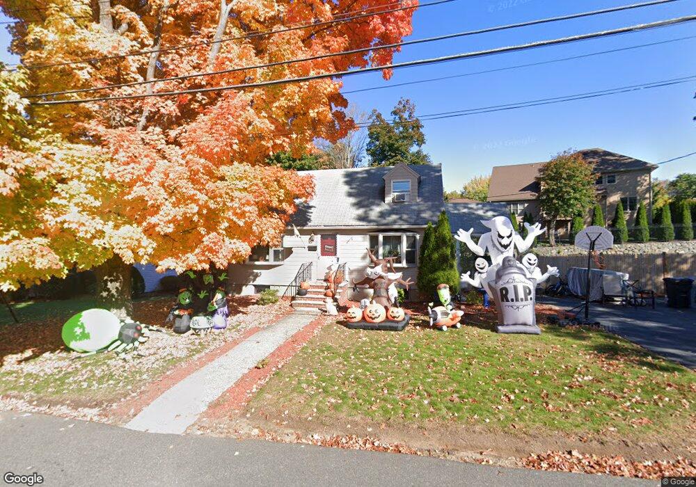
5 Hanford Rd Stoneham, MA 02180
Lindenwood NeighborhoodEstimated Value: $759,000 - $773,000
3
Beds
2
Baths
1,685
Sq Ft
$453/Sq Ft
Est. Value
About This Home
This home is located at 5 Hanford Rd, Stoneham, MA 02180 and is currently estimated at $763,766, approximately $453 per square foot. 5 Hanford Rd is a home located in Middlesex County with nearby schools including Stoneham High School, St. Patrick Elementary School, and St Joseph School.
Ownership History
Date
Name
Owned For
Owner Type
Purchase Details
Closed on
Nov 9, 2007
Sold by
Es Fitzpatrick Doris M and Powers Lauren E
Bought by
Condon Paul A and Wigandt Patricia J
Current Estimated Value
Home Financials for this Owner
Home Financials are based on the most recent Mortgage that was taken out on this home.
Original Mortgage
$348,500
Outstanding Balance
$221,521
Interest Rate
6.47%
Mortgage Type
Purchase Money Mortgage
Estimated Equity
$542,245
Create a Home Valuation Report for This Property
The Home Valuation Report is an in-depth analysis detailing your home's value as well as a comparison with similar homes in the area
Home Values in the Area
Average Home Value in this Area
Purchase History
| Date | Buyer | Sale Price | Title Company |
|---|---|---|---|
| Condon Paul A | $350,000 | -- |
Source: Public Records
Mortgage History
| Date | Status | Borrower | Loan Amount |
|---|---|---|---|
| Open | Condon Paul A | $348,500 |
Source: Public Records
Tax History Compared to Growth
Tax History
| Year | Tax Paid | Tax Assessment Tax Assessment Total Assessment is a certain percentage of the fair market value that is determined by local assessors to be the total taxable value of land and additions on the property. | Land | Improvement |
|---|---|---|---|---|
| 2025 | $6,422 | $627,800 | $400,000 | $227,800 |
| 2024 | $6,220 | $587,300 | $370,000 | $217,300 |
| 2023 | $6,041 | $544,200 | $340,000 | $204,200 |
| 2022 | $5,331 | $512,100 | $320,000 | $192,100 |
| 2021 | $5,421 | $480,600 | $290,000 | $190,600 |
| 2020 | $5,036 | $466,700 | $280,000 | $186,700 |
| 2019 | $5,129 | $457,100 | $260,000 | $197,100 |
| 2018 | $4,997 | $426,700 | $240,000 | $186,700 |
| 2017 | $4,724 | $381,300 | $230,000 | $151,300 |
| 2016 | $4,736 | $372,900 | $230,000 | $142,900 |
| 2015 | $4,677 | $360,900 | $230,000 | $130,900 |
| 2014 | $4,579 | $339,400 | $210,000 | $129,400 |
Source: Public Records
Map
Nearby Homes
- 13 Elaine Rd
- 97 Oak St
- 62 Abigail Way Unit 3004
- 246 Walnut St
- 68 Main St Unit 36C
- 405 William St
- 313 South St
- 40 Main St Unit 505
- 64 Main St Unit 41B
- 159 Main St Unit 41C
- 20 Oak St
- 133 Pine Ridge Rd
- 8 Steele St
- 7 Leaning Elm Dr Unit 7
- 75 Border Rd
- 89 Walnut St
- 62 High St Unit 4
- 62 High St Unit 3
- 62 High St Unit Lot 12
- 62 High St Unit Lot 2