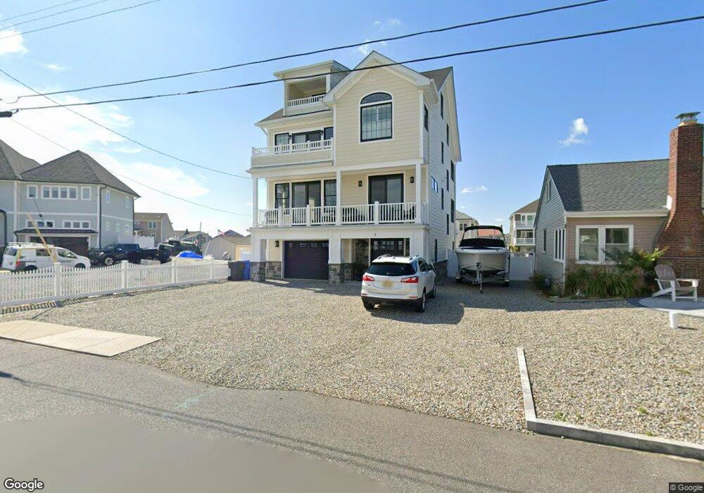
5 Harbor Rd Toms River, NJ 08753
Estimated Value: $692,000 - $1,111,000
--
Bed
3
Baths
3,552
Sq Ft
$253/Sq Ft
Est. Value
About This Home
This home is located at 5 Harbor Rd, Toms River, NJ 08753 and is currently estimated at $899,188, approximately $253 per square foot. 5 Harbor Rd is a home located in Ocean County.
Ownership History
Date
Name
Owned For
Owner Type
Purchase Details
Closed on
Apr 2, 2004
Sold by
Banner Spencer D and Banner Ellen M
Bought by
Milani Paul
Current Estimated Value
Home Financials for this Owner
Home Financials are based on the most recent Mortgage that was taken out on this home.
Original Mortgage
$200,000
Outstanding Balance
$93,723
Interest Rate
5.6%
Mortgage Type
Stand Alone First
Estimated Equity
$805,465
Purchase Details
Closed on
Oct 22, 1996
Sold by
Pearson Worsdell
Bought by
Banner Spencer and Banner Ellen
Home Financials for this Owner
Home Financials are based on the most recent Mortgage that was taken out on this home.
Original Mortgage
$90,000
Interest Rate
8.07%
Create a Home Valuation Report for This Property
The Home Valuation Report is an in-depth analysis detailing your home's value as well as a comparison with similar homes in the area
Home Values in the Area
Average Home Value in this Area
Purchase History
| Date | Buyer | Sale Price | Title Company |
|---|---|---|---|
| Milani Paul | $310,000 | -- | |
| Banner Spencer | $100,000 | -- |
Source: Public Records
Mortgage History
| Date | Status | Borrower | Loan Amount |
|---|---|---|---|
| Open | Milani Paul | $200,000 | |
| Previous Owner | Banner Spencer | $90,000 |
Source: Public Records
Tax History Compared to Growth
Tax History
| Year | Tax Paid | Tax Assessment Tax Assessment Total Assessment is a certain percentage of the fair market value that is determined by local assessors to be the total taxable value of land and additions on the property. | Land | Improvement |
|---|---|---|---|---|
| 2025 | $15,775 | $866,300 | $235,000 | $631,300 |
| 2024 | $14,996 | $866,300 | $235,000 | $631,300 |
| 2023 | $14,459 | $866,300 | $235,000 | $631,300 |
| 2022 | $14,459 | $866,300 | $235,000 | $631,300 |
| 2021 | $11,070 | $441,900 | $153,900 | $288,000 |
| 2020 | $11,021 | $441,900 | $153,900 | $288,000 |
| 2019 | $3,672 | $153,900 | $153,900 | $0 |
| 2018 | $5,527 | $234,800 | $153,900 | $80,900 |
| 2017 | $5,480 | $234,800 | $153,900 | $80,900 |
| 2016 | $5,317 | $233,900 | $153,900 | $80,000 |
| 2015 | $5,115 | $233,900 | $153,900 | $80,000 |
| 2014 | $4,870 | $233,900 | $153,900 | $80,000 |
Source: Public Records
Map
Nearby Homes
- 103 Mermaid Rd
- 6 Cayman Ave
- 4 Jamaica Ave
- 3312 Churchill Dr
- 3414 Sandy Place
- 3158 Windsor Ave
- 689 Golden Dr
- 3131 Creek Rd
- 3138 Windsor Ave
- 663 Beachwood Ave
- 3129 Windsor Ave
- 2570 Balfrey Dr
- 213 Hamilton Dr
- 3402 Maritime Dr
- 3461 Maritime Dr
- 786 Garfield Ave
- 1221 Bewick St
- 562 George Rd
- 3414 Adams Ave
- 1417 Delaware Ave