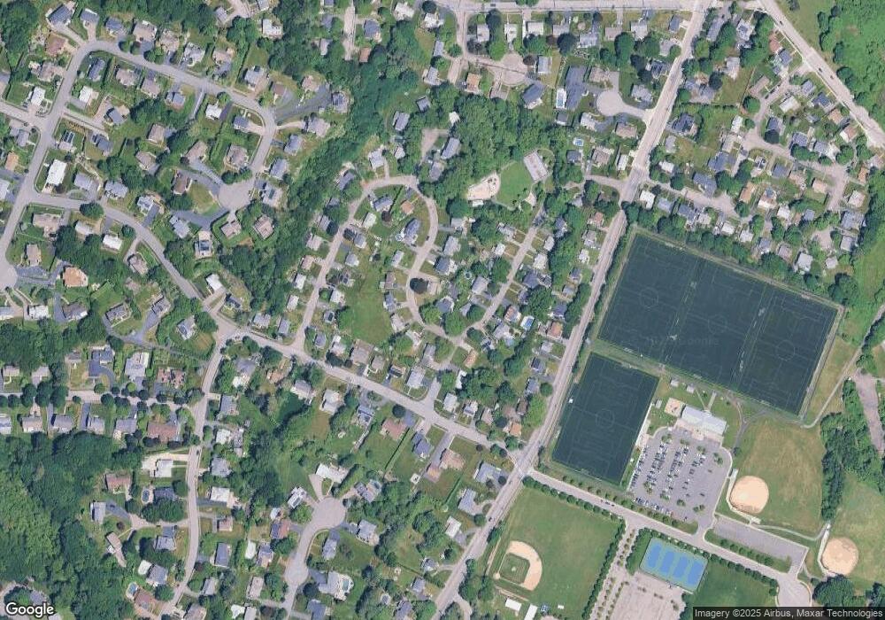
5 Hatherly Rd Waltham, MA 02452
North Waltham NeighborhoodEstimated Value: $1,042,000 - $1,321,361
4
Beds
3
Baths
3,216
Sq Ft
$380/Sq Ft
Est. Value
About This Home
This home is located at 5 Hatherly Rd, Waltham, MA 02452 and is currently estimated at $1,221,340, approximately $379 per square foot. 5 Hatherly Rd is a home located in Middlesex County with nearby schools including Northeast Elementary School, John F Kennedy Middle School, and Waltham Sr High School.
Ownership History
Date
Name
Owned For
Owner Type
Purchase Details
Closed on
Oct 27, 2016
Sold by
Martin Bernice K Est
Bought by
Cannon Timothy P
Current Estimated Value
Home Financials for this Owner
Home Financials are based on the most recent Mortgage that was taken out on this home.
Original Mortgage
$416,000
Outstanding Balance
$334,816
Interest Rate
3.5%
Mortgage Type
New Conventional
Estimated Equity
$886,524
Purchase Details
Closed on
May 8, 2008
Sold by
Martin Rt
Bought by
Martin Bernice K
Create a Home Valuation Report for This Property
The Home Valuation Report is an in-depth analysis detailing your home's value as well as a comparison with similar homes in the area
Home Values in the Area
Average Home Value in this Area
Purchase History
| Date | Buyer | Sale Price | Title Company |
|---|---|---|---|
| Cannon Timothy P | $520,000 | -- | |
| Martin Bernice K | -- | -- |
Source: Public Records
Mortgage History
| Date | Status | Borrower | Loan Amount |
|---|---|---|---|
| Open | Cannon Timothy P | $416,000 |
Source: Public Records
Tax History Compared to Growth
Tax History
| Year | Tax Paid | Tax Assessment Tax Assessment Total Assessment is a certain percentage of the fair market value that is determined by local assessors to be the total taxable value of land and additions on the property. | Land | Improvement |
|---|---|---|---|---|
| 2025 | $11,606 | $1,181,900 | $438,000 | $743,900 |
| 2024 | $6,630 | $687,800 | $418,600 | $269,200 |
| 2023 | $6,570 | $636,600 | $379,800 | $256,800 |
| 2022 | $6,471 | $580,900 | $341,100 | $239,800 |
| 2021 | $6,400 | $565,400 | $341,100 | $224,300 |
| 2020 | $6,367 | $532,800 | $317,800 | $215,000 |
| 2019 | $6,334 | $500,300 | $314,000 | $186,300 |
| 2018 | $4,249 | $462,900 | $290,700 | $172,200 |
| 2017 | $5,354 | $426,300 | $263,600 | $162,700 |
| 2016 | $5,028 | $410,800 | $248,100 | $162,700 |
| 2015 | $4,665 | $355,300 | $217,100 | $138,200 |
Source: Public Records
Map
Nearby Homes
- 116 Raffaele Dr
- 70 Rosewood Dr
- 155 Marguerite Ave
- 55 Circle Dr
- 23 Wight St
- 750 Trapelo Rd
- 65 Woburn St
- 45 Chase Rd
- 38 Van Vechten St
- 170 Clocktower Dr Unit 5103
- 107 Clocktower Dr Unit 3302
- 87 Clocktower Dr Unit 2207
- 28 College Farm Rd Unit 2
- 100 Shirley Rd
- 266 Linden St
- 34 Cedar Hill Ln
- 30 Jacqueline Rd Unit C
- 511 Lexington St
- 14 Piedmont Ave
- 26 Brookfield Rd
- 61 Hillcroft Rd
- 17 Hatherly Rd
- 31 Hatherly Rd
- 53 Hillcroft Rd
- 49 Hillcroft Rd
- 75 Hillcroft Rd
- 35 Hatherly Rd
- 8 Hatherly Rd
- 22 Hatherly Rd
- 66 Hillcroft Rd
- 16 Hatherly Rd
- 12 Hatherly Rd
- 26 Hatherly Rd
- 62 Hillcroft Rd
- 43 Hillcroft Rd
- 58 Hillcroft Rd
- 34 Hatherly Rd
- 39 Hatherly Rd
- 52 Hillcroft Rd
- 80 Hillcroft Rd
