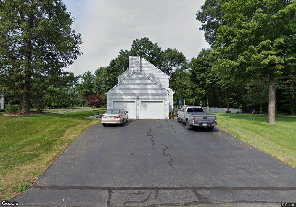
5 Hawthorne Ct Higganum, CT 06441
Estimated Value: $588,909 - $672,000
3
Beds
3
Baths
2,560
Sq Ft
$243/Sq Ft
Est. Value
About This Home
This home is located at 5 Hawthorne Ct, Higganum, CT 06441 and is currently estimated at $620,977, approximately $242 per square foot. 5 Hawthorne Ct is a home located in Middlesex County with nearby schools including Haddam-Killingworth High School.
Ownership History
Date
Name
Owned For
Owner Type
Purchase Details
Closed on
Oct 12, 2004
Sold by
Stonegate Village Llc
Bought by
Dambra John F and Dambra Sharon L
Current Estimated Value
Home Financials for this Owner
Home Financials are based on the most recent Mortgage that was taken out on this home.
Original Mortgage
$135,000
Outstanding Balance
$67,172
Interest Rate
5.84%
Estimated Equity
$553,805
Create a Home Valuation Report for This Property
The Home Valuation Report is an in-depth analysis detailing your home's value as well as a comparison with similar homes in the area
Home Values in the Area
Average Home Value in this Area
Purchase History
| Date | Buyer | Sale Price | Title Company |
|---|---|---|---|
| Dambra John F | $413,299 | -- |
Source: Public Records
Mortgage History
| Date | Status | Borrower | Loan Amount |
|---|---|---|---|
| Open | Dambra John F | $135,000 |
Source: Public Records
Tax History Compared to Growth
Tax History
| Year | Tax Paid | Tax Assessment Tax Assessment Total Assessment is a certain percentage of the fair market value that is determined by local assessors to be the total taxable value of land and additions on the property. | Land | Improvement |
|---|---|---|---|---|
| 2025 | $8,656 | $251,990 | $62,370 | $189,620 |
| 2024 | $8,656 | $251,990 | $62,370 | $189,620 |
| 2023 | $8,535 | $251,990 | $62,370 | $189,620 |
| 2022 | $8,147 | $251,990 | $62,370 | $189,620 |
| 2021 | $8,104 | $251,990 | $62,370 | $189,620 |
| 2020 | $8,072 | $254,710 | $75,420 | $179,290 |
| 2019 | $8,072 | $254,710 | $75,420 | $179,290 |
| 2018 | $8,072 | $254,710 | $75,420 | $179,290 |
| 2017 | $8,072 | $254,710 | $75,420 | $179,290 |
| 2016 | $7,947 | $254,710 | $75,420 | $179,290 |
| 2015 | $8,546 | $273,910 | $75,420 | $198,490 |
| 2014 | $8,461 | $273,910 | $75,420 | $198,490 |
Source: Public Records
Map
Nearby Homes
- 34 Skunk Misery Rd
- 45 Summersweet Dr
- 3 Copley Rd
- 206 Little City Rd
- Lots 1 & 2 Jackson Rd
- 12 Jackson Rd
- 0 Little City Rd
- 279 Pokorny Rd
- 82 Jacoby Rd
- 28 Fieldstone Ln
- 8 Little City Rd
- 0 S Dish Mill Rd Unit 24082788
- 36 Meadow Rd
- 311 Oxbow Rd
- 16 Devonshire Ln
- 25 Route 79
- 8 Neffs Corner Rd
- 593 Route 148
- 13 Cranberry Meadow Ln
- 42 Pine Ledge Trail
- 1 Stonegate Cir
- Lot 3 Stone Bridge Dr
- Lot 7 Stone Bridge Crossing
- Lot 1A Stone Bridge Dr
- Lot 1 Stone Bridge Dr
- 9 Hawthorne Ct
- 6 Hawthorne Ct
- 0 Stone Bridge Dr Unit N287891
- 13 Stonegate Cir
- 4 Stonegate Cir
- 12 Stonegate Cir
- 671 Little City Rd
- 14 Hawthorne Ct
- 643 Little City Rd
- 15 Hawthorne Ct
- 14 Stonegate Cir
- 20 Laurel Grove Dr
- 18 Stonegate Cir
- 12 Hawthorne Ct
- 15 Stonegate Cir