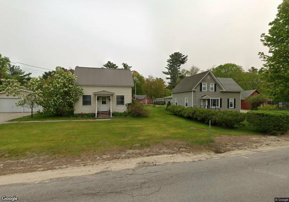
5 Hayes Ln New Durham, NH 03855
Estimated Value: $177,371 - $370,000
1
Bed
1
Bath
891
Sq Ft
$292/Sq Ft
Est. Value
About This Home
This home is located at 5 Hayes Ln, New Durham, NH 03855 and is currently estimated at $260,593, approximately $292 per square foot. 5 Hayes Ln is a home with nearby schools including New Durham Elementary School, Kingswood Regional Middle School, and Kingswood Regional High School.
Ownership History
Date
Name
Owned For
Owner Type
Purchase Details
Closed on
Jul 18, 2005
Sold by
Synder Glenn and Synder Fawn
Bought by
Lincoln Gina
Current Estimated Value
Home Financials for this Owner
Home Financials are based on the most recent Mortgage that was taken out on this home.
Original Mortgage
$76,000
Outstanding Balance
$39,699
Interest Rate
5.67%
Mortgage Type
Adjustable Rate Mortgage/ARM
Estimated Equity
$220,894
Create a Home Valuation Report for This Property
The Home Valuation Report is an in-depth analysis detailing your home's value as well as a comparison with similar homes in the area
Home Values in the Area
Average Home Value in this Area
Purchase History
| Date | Buyer | Sale Price | Title Company |
|---|---|---|---|
| Lincoln Gina | $95,000 | -- | |
| Lincoln Gina | $95,000 | -- |
Source: Public Records
Mortgage History
| Date | Status | Borrower | Loan Amount |
|---|---|---|---|
| Open | Lincoln Gina | $76,000 | |
| Closed | Lincoln Gina | $76,000 |
Source: Public Records
Tax History Compared to Growth
Tax History
| Year | Tax Paid | Tax Assessment Tax Assessment Total Assessment is a certain percentage of the fair market value that is determined by local assessors to be the total taxable value of land and additions on the property. | Land | Improvement |
|---|---|---|---|---|
| 2024 | $2,063 | $106,200 | $40,500 | $65,700 |
| 2023 | $2,124 | $106,200 | $40,500 | $65,700 |
| 2022 | $1,903 | $106,200 | $40,500 | $65,700 |
| 2021 | $1,897 | $106,200 | $40,500 | $65,700 |
| 2020 | $1,793 | $106,200 | $40,500 | $65,700 |
| 2019 | $4,312 | $72,000 | $20,300 | $51,700 |
| 2018 | $1,667 | $72,000 | $20,300 | $51,700 |
| 2017 | $3,460 | $72,000 | $20,300 | $51,700 |
| 2016 | $1,639 | $72,000 | $20,300 | $51,700 |
| 2015 | $1,595 | $72,000 | $20,300 | $51,700 |
| 2014 | $1,785 | $81,700 | $26,400 | $55,300 |
| 2013 | $1,838 | $81,700 | $26,400 | $55,300 |
Source: Public Records
Map
Nearby Homes
- 0 Birch Hill Rd Unit 21
- 71 Main St
- 98 Merrymeeting Rd
- 00 Berry Rd Unit 17-8-1
- 127 Merrymeeting Ln
- 350 Heron Point Rd
- 221 New Durham Rd
- 23 Eagles Way
- 102 Osprey Rd
- 24 Osprey Rd
- 55 Osprey Rd
- 70 Osprey Rd
- 176 Valley Rd
- 00 Suncook Valley Rd Unit 13
- 177 Suncook Valley Rd
- 173 Suncook Valley Rd
- 90 Old Bay Rd
- 00 Baxter Place Unit 35
- 0 Innsbruck Dr Unit 5049719
- 0 Innsbruck Dr Unit 5024695