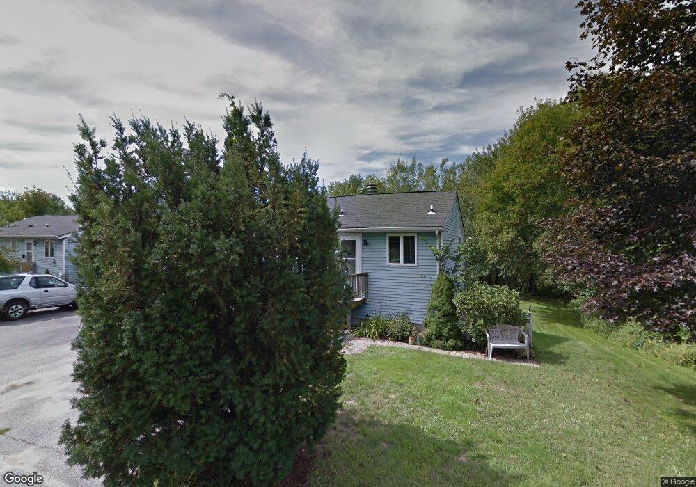
5 Houle Ave Allenstown, NH 03275
Suncook NeighborhoodEstimated Value: $246,000 - $286,923
2
Beds
1
Bath
1,065
Sq Ft
$255/Sq Ft
Est. Value
About This Home
This home is located at 5 Houle Ave, Allenstown, NH 03275 and is currently estimated at $271,481, approximately $254 per square foot. 5 Houle Ave is a home located in Merrimack County with nearby schools including Allenstown Elementary School, Armand R. Dupont School, and Tender Years Child Care & Learning Center.
Ownership History
Date
Name
Owned For
Owner Type
Purchase Details
Closed on
Oct 31, 2006
Sold by
Page Joanne B
Bought by
Sylvernale Timothy A
Current Estimated Value
Home Financials for this Owner
Home Financials are based on the most recent Mortgage that was taken out on this home.
Original Mortgage
$161,907
Interest Rate
6.48%
Create a Home Valuation Report for This Property
The Home Valuation Report is an in-depth analysis detailing your home's value as well as a comparison with similar homes in the area
Home Values in the Area
Average Home Value in this Area
Purchase History
| Date | Buyer | Sale Price | Title Company |
|---|---|---|---|
| Sylvernale Timothy A | $158,500 | -- | |
| Sylvenale Timothy A | $158,500 | -- |
Source: Public Records
Mortgage History
| Date | Status | Borrower | Loan Amount |
|---|---|---|---|
| Open | Sylvernale Timothy A | $158,300 | |
| Closed | Sylvernale Timothy A | $162,400 | |
| Closed | Sylvenale Timothy A | $161,907 |
Source: Public Records
Tax History Compared to Growth
Tax History
| Year | Tax Paid | Tax Assessment Tax Assessment Total Assessment is a certain percentage of the fair market value that is determined by local assessors to be the total taxable value of land and additions on the property. | Land | Improvement |
|---|---|---|---|---|
| 2024 | $5,392 | $212,100 | $0 | $212,100 |
| 2023 | $4,497 | $212,100 | $0 | $212,100 |
| 2022 | $4,136 | $212,100 | $0 | $212,100 |
| 2021 | $3,515 | $111,600 | $0 | $111,600 |
| 2020 | $3,270 | $111,600 | $0 | $111,600 |
| 2019 | $3,471 | $111,600 | $0 | $111,600 |
| 2018 | $3,365 | $111,600 | $0 | $111,600 |
| 2017 | $3,583 | $111,600 | $0 | $111,600 |
| 2016 | $3,159 | $93,300 | $0 | $93,300 |
| 2015 | $3,063 | $93,300 | $0 | $93,300 |
| 2014 | $3,152 | $93,300 | $0 | $93,300 |
| 2013 | $2,929 | $92,900 | $0 | $92,900 |
Source: Public Records
Map
Nearby Homes
- 4 Rodger Rd
- 7 Ferry St
- 15 Main St
- 100 Main St Unit M10
- 100 Main St Unit 204
- 12-14 Church St Unit 12,14
- 422 Dawn Dr Unit 23
- 427 Dawn Dr Unit 15
- 111 Glass St
- 1 1/2 Bartlett St
- 19 Sullivan Dr
- 10 Lane Dr
- 233 Pembroke St
- 2 Cheryl Dr
- 259 Pembroke St
- 307 Dearborn Rd
- 1821 Hooksett Rd
- 10 Winchester Ct
- 15 Sullivan Dr
- 62 Pine St