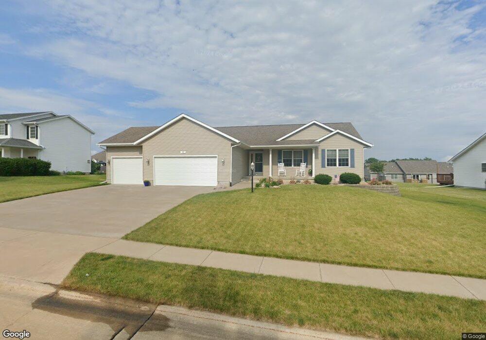
5 Jacob Dr Eldridge, IA 52748
Estimated Value: $438,000 - $481,000
5
Beds
5
Baths
1,929
Sq Ft
$239/Sq Ft
Est. Value
About This Home
This home is located at 5 Jacob Dr, Eldridge, IA 52748 and is currently estimated at $461,296, approximately $239 per square foot. 5 Jacob Dr is a home located in Scott County with nearby schools including Neil Armstrong Elementary School, North Scott Junior High School, and North Scott Senior High School.
Ownership History
Date
Name
Owned For
Owner Type
Purchase Details
Closed on
Mar 16, 2007
Sold by
Fitzpatrick Homes Inc
Bought by
Peterson Brian W and Petersen Wendy A
Current Estimated Value
Home Financials for this Owner
Home Financials are based on the most recent Mortgage that was taken out on this home.
Original Mortgage
$195,000
Outstanding Balance
$118,353
Interest Rate
6.31%
Mortgage Type
New Conventional
Estimated Equity
$342,943
Purchase Details
Closed on
Sep 27, 2006
Sold by
Dexter Acres Phse Iii L C
Bought by
Fitzpatrick Homes Inc
Create a Home Valuation Report for This Property
The Home Valuation Report is an in-depth analysis detailing your home's value as well as a comparison with similar homes in the area
Home Values in the Area
Average Home Value in this Area
Purchase History
| Date | Buyer | Sale Price | Title Company |
|---|---|---|---|
| Peterson Brian W | $250,000 | None Available | |
| Fitzpatrick Homes Inc | $47,000 | None Available |
Source: Public Records
Mortgage History
| Date | Status | Borrower | Loan Amount |
|---|---|---|---|
| Open | Peterson Brian W | $195,000 |
Source: Public Records
Tax History
| Year | Tax Paid | Tax Assessment Tax Assessment Total Assessment is a certain percentage of the fair market value that is determined by local assessors to be the total taxable value of land and additions on the property. | Land | Improvement |
|---|---|---|---|---|
| 2025 | $4,122 | $407,000 | $74,900 | $332,100 |
| 2024 | $4,046 | $387,400 | $74,900 | $312,500 |
| 2023 | $3,814 | $387,400 | $74,900 | $312,500 |
| 2022 | $3,768 | $314,160 | $51,000 | $263,160 |
| 2021 | $3,768 | $314,160 | $51,000 | $263,160 |
| 2020 | $3,780 | $299,230 | $51,000 | $248,230 |
| 2019 | $3,784 | $286,850 | $51,000 | $235,850 |
| 2018 | $3,878 | $286,850 | $51,000 | $235,850 |
| 2017 | $1,595 | $286,850 | $51,000 | $235,850 |
| 2016 | $3,540 | $260,890 | $0 | $0 |
| 2015 | $3,540 | $0 | $0 | $0 |
| 2014 | $3,302 | $239,930 | $0 | $0 |
| 2013 | $3,258 | $0 | $0 | $0 |
| 2012 | -- | $263,020 | $51,000 | $212,020 |
Source: Public Records
Map
Nearby Homes
- 339 Hillside Dr
- 205 Blackhawk Dr
- 109 Blackhawk Dr
- 76 Parkview Dr
- 205 Park Lane Cir
- 20 Valley Dr
- 27018 Glynns Creek Ct
- 27111 181st Ave Unit 1219
- 27119 181st Ave
- 27103 181st Ave
- 27010 182nd Avenue Ct
- 18116 271st St
- 20830 270th St
- 307 E Donahue St
- 319 E Donahue St
- 301 N 1st St
- 800 N 16th Ave
- 420 E Franklin St Unit 104
- 420 E Franklin St Unit 101
- 361 E Donahue St
Your Personal Tour Guide
Ask me questions while you tour the home.