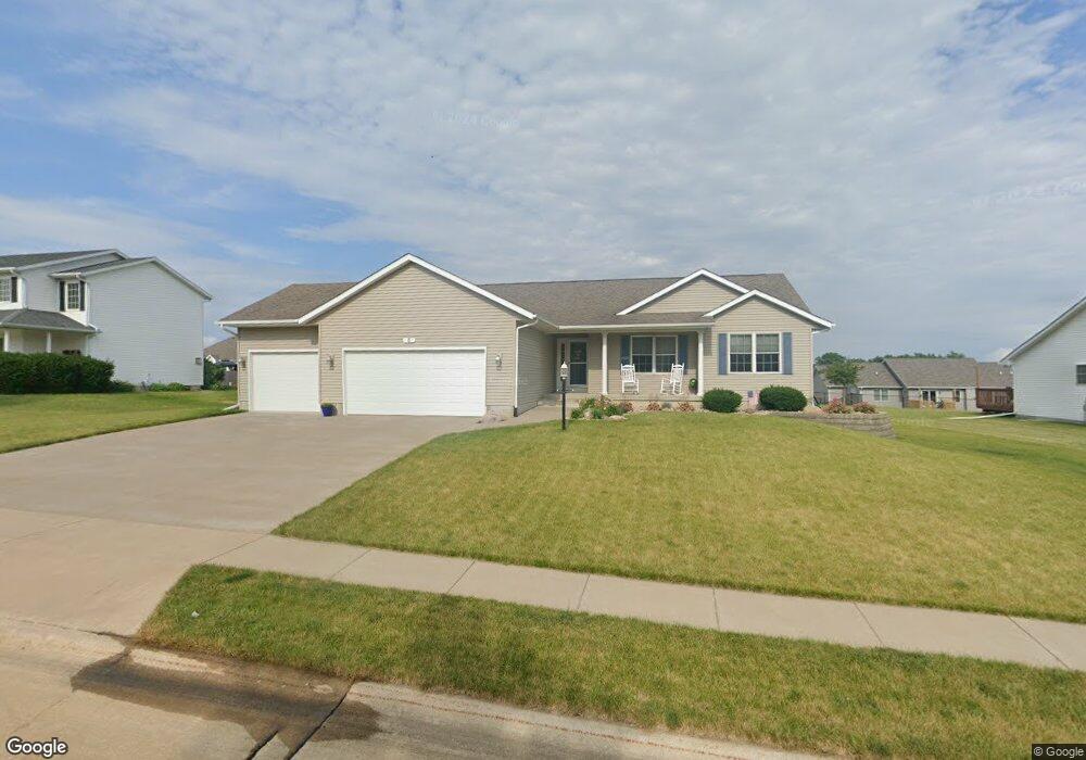
5 Jacob Dr Eldridge, IA 52748
Estimated Value: $421,000 - $493,000
About This Home
This home is located at 5 Jacob Dr, Eldridge, IA 52748 and is currently estimated at $465,219, approximately $241 per square foot. 5 Jacob Dr is a home located in Scott County with nearby schools including Neil Armstrong Elementary School, North Scott Junior High School, and North Scott Senior High School.
Ownership History
We collect this data history from publicly available records. To have your information removed, we recommend requesting removal directly through your county’s website.
Purchase Details
Home Financials for this Owner
Home Financials are based on the most recent Mortgage that was taken out on this home.Purchase Details
Home Values in the Area
Average Home Value in this Area
Purchase History
We collect this data history from publicly available records. To have your information removed, we recommend requesting removal directly through your county’s website.
| Date | Buyer | Sale Price | Title Company |
|---|---|---|---|
| $250,000 | None Available | ||
| $47,000 | None Available |
Mortgage History
We collect this data history from publicly available records. To have your information removed, we recommend requesting removal directly through your county’s website.
| Date | Status | Borrower | Loan Amount |
|---|---|---|---|
| Open | $195,000 |
Tax History
We collect this data history from publicly available records. To have your information removed, we recommend requesting removal directly through your county’s website.
| Year | Tax Paid | Tax Assessment Tax Assessment Total Assessment is a certain percentage of the fair market value that is determined by local assessors to be the total taxable value of land and additions on the property. | Land | Improvement |
|---|---|---|---|---|
| 2025 | $4,122 | $407,000 | $74,900 | $332,100 |
| 2024 | $4,046 | $387,400 | $74,900 | $312,500 |
| 2023 | $3,814 | $387,400 | $74,900 | $312,500 |
| 2022 | $3,768 | $314,160 | $51,000 | $263,160 |
| 2021 | $3,768 | $314,160 | $51,000 | $263,160 |
| 2020 | $3,780 | $299,230 | $51,000 | $248,230 |
| 2019 | $3,784 | $286,850 | $51,000 | $235,850 |
| 2018 | $3,878 | $286,850 | $51,000 | $235,850 |
| 2017 | $1,595 | $286,850 | $51,000 | $235,850 |
| 2016 | $3,540 | $260,890 | $0 | $0 |
| 2015 | $3,540 | $0 | $0 | $0 |
| 2014 | $3,302 | $239,930 | $0 | $0 |
| 2013 | $3,258 | $0 | $0 | $0 |
| 2012 | -- | $263,020 | $51,000 | $212,020 |
Map
- 11 Jacob Dr
- 104 Parkview Dr
- 109 Blackhawk Dr
- 105 Shawnee Cir
- 205 Park Lane Cir
- 121 Park Lane Cir
- 7 Hillcrest Ct
- 30 Parkview Dr
- 27018 Glynns Creek Ct
- 326 Park Lane Cir
- 314 Crest Rd
- 27010 182nd Avenue Ct
- 307 E Donahue St
- 319 E Donahue St
- 220 Ruby Ct
- 301 N 1st St
- 800 N 16th Ave
- 516 W Mulberry Ln
- 301 E Donahue St
- 209 E Price St Unit 301
Ask me questions while you tour the home.