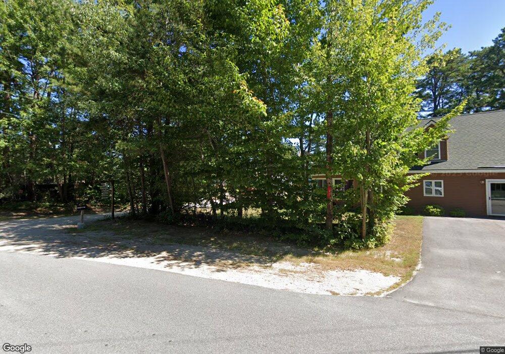
5 Jay Loop Ossipee, NH 03864
Estimated Value: $500,000 - $1,013,000
3
Beds
2
Baths
1,777
Sq Ft
$393/Sq Ft
Est. Value
About This Home
This home is located at 5 Jay Loop, Ossipee, NH 03864 and is currently estimated at $697,891, approximately $392 per square foot. 5 Jay Loop is a home with nearby schools including Ossipee Central School, Kingswood Regional Middle School, and Kingswood Regional High School.
Ownership History
Date
Name
Owned For
Owner Type
Purchase Details
Closed on
Apr 22, 2016
Sold by
Rahn Patrick J and Rahn Marlow G
Bought by
Marlow G Rahn Ret
Current Estimated Value
Purchase Details
Closed on
Oct 12, 2011
Sold by
Marmiani Roberta
Bought by
Rahn Patrick J and Rahn Marlow G
Home Financials for this Owner
Home Financials are based on the most recent Mortgage that was taken out on this home.
Original Mortgage
$272,000
Interest Rate
4.25%
Purchase Details
Closed on
Oct 18, 2004
Sold by
Barratt Robert
Bought by
Marmiani Thomas J and Marmiani Roberta
Home Financials for this Owner
Home Financials are based on the most recent Mortgage that was taken out on this home.
Original Mortgage
$210,000
Interest Rate
5.8%
Mortgage Type
Purchase Money Mortgage
Create a Home Valuation Report for This Property
The Home Valuation Report is an in-depth analysis detailing your home's value as well as a comparison with similar homes in the area
Home Values in the Area
Average Home Value in this Area
Purchase History
| Date | Buyer | Sale Price | Title Company |
|---|---|---|---|
| Marlow G Rahn Ret | -- | -- | |
| Rahn Patrick J | $340,000 | -- | |
| Marmiani Thomas J | $330,000 | -- |
Source: Public Records
Mortgage History
| Date | Status | Borrower | Loan Amount |
|---|---|---|---|
| Previous Owner | Marmiani Thomas J | $272,000 | |
| Previous Owner | Marmiani Thomas J | $210,000 |
Source: Public Records
Tax History
| Year | Tax Paid | Tax Assessment Tax Assessment Total Assessment is a certain percentage of the fair market value that is determined by local assessors to be the total taxable value of land and additions on the property. | Land | Improvement |
|---|---|---|---|---|
| 2024 | $6,392 | $551,000 | $393,200 | $157,800 |
| 2023 | $5,473 | $527,800 | $370,000 | $157,800 |
| 2022 | $4,354 | $236,900 | $138,600 | $98,300 |
| 2021 | $4,342 | $236,900 | $138,600 | $98,300 |
| 2020 | $4,039 | $236,900 | $138,600 | $98,300 |
| 2019 | $4,093 | $239,200 | $138,600 | $100,600 |
| 2018 | $4,926 | $220,200 | $136,000 | $84,200 |
| 2016 | $4,250 | $220,200 | $136,000 | $84,200 |
| 2015 | $4,036 | $220,200 | $136,000 | $84,200 |
| 2014 | $6,406 | $355,500 | $193,500 | $162,000 |
| 2013 | $6,182 | $355,500 | $193,500 | $162,000 |
Source: Public Records
Map
Nearby Homes
- 164 Leavitt Rd
- 126 Leavitt Rd
- 10 Spur Rd
- 112 N Broadbay Rd
- 5-11 Friedman Ln
- 118 Washington Rd Unit 55
- 106 Washington Rd Unit 35
- 895 Green Mountain Rd
- Lot 1 Parsons Rd
- Lot 4 Parsons Rd
- 78 School St
- 34 Abenaki Dr
- 71 Deer Run Dr
- Lot 12 Friedman Ln
- Lot 34 Durgin Hill Rd
- Lot 10 Friedman
- 0 Moulton Rd Unit 24-2
- 118 Round Pond Rd
- 16 Hodsdon Shore Rd
- 0 Green Mountain Rd Unit 13
Your Personal Tour Guide
Ask me questions while you tour the home.