5 John's Way Hollis, NH 03049
Hollis Neighborhood
3
Beds
3
Baths
3,200
Sq Ft
4.54
Acres
About This Home
This home is located at 5 John's Way, Hollis, NH 03049. 5 John's Way is a home located in Hillsborough County with nearby schools including Hollis Primary School, Hollis Upper Elementary School, and Hollis-Brookline Middle School.
Ownership History
Date
Name
Owned For
Owner Type
Purchase Details
Closed on
Oct 1, 2021
Sold by
Elizabeth J Woods Ret and Woods
Bought by
Ducal Development Llc
Home Financials for this Owner
Home Financials are based on the most recent Mortgage that was taken out on this home.
Original Mortgage
$900,000
Outstanding Balance
$820,716
Interest Rate
2.8%
Mortgage Type
Purchase Money Mortgage
Purchase Details
Closed on
May 11, 2018
Sold by
Elizabeth J Woods Ret and Woods
Bought by
Beals Kevin P and Beals Lisa A
Create a Home Valuation Report for This Property
The Home Valuation Report is an in-depth analysis detailing your home's value as well as a comparison with similar homes in the area
Home Values in the Area
Average Home Value in this Area
Purchase History
| Date | Buyer | Sale Price | Title Company |
|---|---|---|---|
| Ducal Development Llc | $1,368,000 | None Available | |
| Beals Kevin P | $250,000 | -- |
Source: Public Records
Mortgage History
| Date | Status | Borrower | Loan Amount |
|---|---|---|---|
| Open | Ducal Development Llc | $900,000 |
Source: Public Records
Tax History Compared to Growth
Tax History
| Year | Tax Paid | Tax Assessment Tax Assessment Total Assessment is a certain percentage of the fair market value that is determined by local assessors to be the total taxable value of land and additions on the property. | Land | Improvement |
|---|---|---|---|---|
| 2024 | $24 | $1,369 | $1,369 | $0 |
| 2023 | $24 | $1,459 | $1,459 | $0 |
| 2022 | $33 | $1,459 | $1,459 | $0 |
| 2021 | $10,333 | $1,112 | $1,112 | $0 |
| 2020 | $26 | $1,112 | $1,112 | $0 |
| 2019 | $26 | $1,112 | $1,112 | $0 |
| 2018 | $25 | $1,145 | $1,145 | $0 |
| 2017 | $28 | $1,188 | $1,188 | $0 |
| 2016 | $28 | $1,188 | $1,188 | $0 |
| 2015 | $27 | $1,188 | $1,188 | $0 |
| 2014 | $27 | $1,188 | $1,188 | $0 |
| 2013 | $27 | $1,188 | $1,188 | $0 |
Source: Public Records
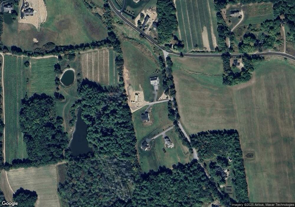
Map
Nearby Homes
- 118 Broad St
- 77 Broad St
- 40-40A Pine Hill Rd
- 7 Lovejoy Ln
- 95 Wright Rd
- 45 Long Hill Rd
- 199 Pine Hill Rd
- 11 Rideout Rd
- 9-48-8 Ladd Ln
- 1 Ladd Ln
- 3 Wood Ln
- 334 Broad St
- 4-58 Dow Rd
- 194 Dow Rd
- 5 Plainfield Ln
- 91 Deacon Ln
- 28 Bartemus Trail Unit U210
- 76 Bartemus Trail Unit U231
- 11 Bartemus Trail Unit 204
- 2 Matties Way
- 3 Johns Way Unit 68
- 4 Pat's Way Unit B
- 5 Pat's Way Unit C
- 5 Pat's Way Unit A
- 4 Pat's Way Unit C
- 1 Pat's Way Unit 1C
- 1 Pat's Way Unit B
- 5 Pat's Way Unit B
- 2 Pat's Way Unit 2A
- 1 Pat's Way
- 2 Pats Way
- 4 Van Dyke Rd
- 117 Broad St
- 125 Broad St
- 5 Maple Knoll Dr
- 8 Van Dyke Rd
- 7 Maple Knoll Dr
- 111 Broad St
- 7 Van Dyke Rd
- 11 Maple Knoll Dr