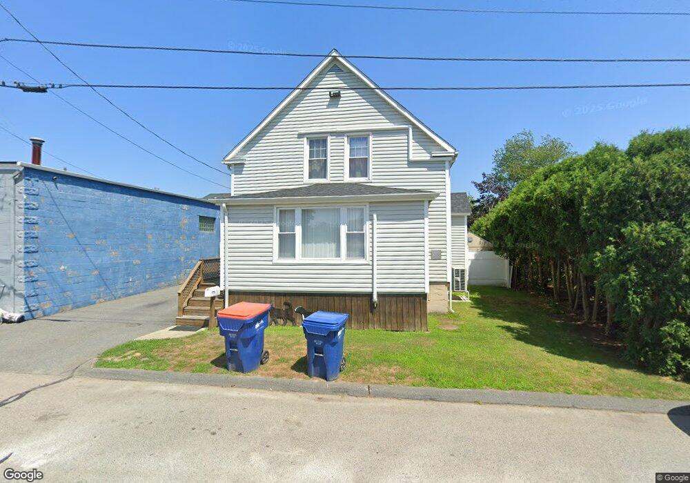
5 Kane St Fairhaven, MA 02719
East Fairhaven NeighborhoodEstimated Value: $370,000 - $405,000
2
Beds
1
Bath
950
Sq Ft
$411/Sq Ft
Est. Value
About This Home
This home is located at 5 Kane St, Fairhaven, MA 02719 and is currently estimated at $390,202, approximately $410 per square foot. 5 Kane St is a home located in Bristol County with nearby schools including Fairhaven High School, St. Joseph School, and Holy Family Holy Name School.
Ownership History
Date
Name
Owned For
Owner Type
Purchase Details
Closed on
Feb 20, 2004
Sold by
Gregoire Albert P and Gregoire Kelly
Bought by
Teixeira Heidi and Teixeira Joseph C
Current Estimated Value
Purchase Details
Closed on
Apr 7, 1998
Sold by
Foisy Arthur R
Bought by
Gregoire Albert P and Machado Kelly
Create a Home Valuation Report for This Property
The Home Valuation Report is an in-depth analysis detailing your home's value as well as a comparison with similar homes in the area
Home Values in the Area
Average Home Value in this Area
Purchase History
| Date | Buyer | Sale Price | Title Company |
|---|---|---|---|
| Teixeira Heidi | $175,000 | -- | |
| Gregoire Albert P | $77,000 | -- |
Source: Public Records
Mortgage History
| Date | Status | Borrower | Loan Amount |
|---|---|---|---|
| Open | Gregoire Albert P | $135,500 | |
| Closed | Gregoire Albert P | $10,000 |
Source: Public Records
Tax History
| Year | Tax Paid | Tax Assessment Tax Assessment Total Assessment is a certain percentage of the fair market value that is determined by local assessors to be the total taxable value of land and additions on the property. | Land | Improvement |
|---|---|---|---|---|
| 2025 | $2,774 | $297,600 | $168,300 | $129,300 |
| 2024 | $2,554 | $276,700 | $168,300 | $108,400 |
| 2023 | $2,471 | $248,300 | $147,400 | $100,900 |
| 2022 | $2,393 | $234,100 | $137,000 | $97,100 |
| 2021 | $2,191 | $194,100 | $123,900 | $70,200 |
| 2020 | $2,147 | $194,100 | $123,900 | $70,200 |
| 2019 | $1,957 | $167,700 | $102,800 | $64,900 |
| 2018 | $1,865 | $158,700 | $97,800 | $60,900 |
| 2017 | $1,846 | $153,300 | $97,800 | $55,500 |
| 2016 | $1,810 | $148,600 | $97,800 | $50,800 |
| 2015 | $1,790 | $147,300 | $97,800 | $49,500 |
Source: Public Records
Map
Nearby Homes
- 3 Earle St
- 421 Huttleston Ave
- 0 Whalers Way
- 20 Nantucket Dr
- 00 Huttleston Ave
- 33 Narragansett Blvd
- 56 Acushnet Rd
- 00 Copeland St
- 41 Starboard Way
- 28 Brant Beach Ave
- 0 Marina Dr Unit 72497908
- 0 Marina Dr Unit 72497877
- 3.5 Golf St
- 190 Sconticut Neck Rd
- 15 Bayview Ave
- 27 Bayview Ave
- 58 Bayview Ave
- 21 Hitching Post Rd
- 13 Park Place
- 5 Reservation Rd
Your Personal Tour Guide
Ask me questions while you tour the home.