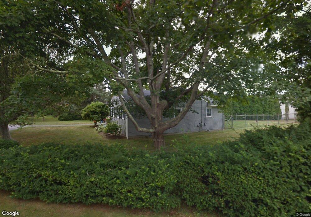
5 Key Ct Newport, RI 02840
Lily-Almy Pond NeighborhoodEstimated Value: $2,205,000 - $3,099,000
2
Beds
1
Bath
800
Sq Ft
$3,366/Sq Ft
Est. Value
About This Home
This home is located at 5 Key Ct, Newport, RI 02840 and is currently estimated at $2,692,834, approximately $3,366 per square foot. 5 Key Ct is a home located in Newport County with nearby schools including Rogers High School and St Michael's Country Day School.
Ownership History
Date
Name
Owned For
Owner Type
Purchase Details
Closed on
Nov 15, 2023
Sold by
Wilcox Peter B and Wilcox Elena K
Bought by
Elena Peter B and Elena Wilcox
Current Estimated Value
Purchase Details
Closed on
Dec 19, 2014
Sold by
Key Court Llc
Bought by
Wilcox Peter B and Wilcox Elena K
Home Financials for this Owner
Home Financials are based on the most recent Mortgage that was taken out on this home.
Original Mortgage
$434,000
Interest Rate
4.02%
Mortgage Type
Purchase Money Mortgage
Create a Home Valuation Report for This Property
The Home Valuation Report is an in-depth analysis detailing your home's value as well as a comparison with similar homes in the area
Home Values in the Area
Average Home Value in this Area
Purchase History
| Date | Buyer | Sale Price | Title Company |
|---|---|---|---|
| Elena Peter B | -- | None Available | |
| Wilcox Peter B | $800,000 | -- | |
| Levandowski Timothy | -- | -- |
Source: Public Records
Mortgage History
| Date | Status | Borrower | Loan Amount |
|---|---|---|---|
| Previous Owner | Levandowski Timothy | $434,000 |
Source: Public Records
Tax History
| Year | Tax Paid | Tax Assessment Tax Assessment Total Assessment is a certain percentage of the fair market value that is determined by local assessors to be the total taxable value of land and additions on the property. | Land | Improvement |
|---|---|---|---|---|
| 2025 | $18,454 | $2,123,800 | $1,259,700 | $864,100 |
| 2024 | $14,296 | $1,739,200 | $1,259,700 | $479,500 |
| 2023 | $11,995 | $1,209,200 | $913,300 | $295,900 |
| 2022 | $11,620 | $1,209,200 | $913,300 | $295,900 |
| 2021 | $11,282 | $1,209,200 | $913,300 | $295,900 |
| 2020 | $11,365 | $1,105,500 | $811,200 | $294,300 |
| 2019 | $11,365 | $1,105,500 | $811,200 | $294,300 |
| 2018 | $11,044 | $1,105,500 | $811,200 | $294,300 |
| 2017 | $9,211 | $821,700 | $559,400 | $262,300 |
| 2016 | $8,981 | $821,700 | $559,400 | $262,300 |
| 2015 | $8,323 | $780,000 | $559,400 | $220,600 |
| 2014 | $7,629 | $632,600 | $383,300 | $249,300 |
Source: Public Records
Map
Nearby Homes
- 553 Bellevue Ave Unit 6
- 128 Ruggles Ave
- 73 Old Fort Rd Unit 75
- 5 Meikle Ave
- 6 Price's Cove Ave
- 14 Leroy Ave
- 11 Ocean Heights Rd
- 39 Connection St
- 66 Webster St Unit 9
- 6 Sullivan St
- 15 Narragansett Ave Unit 2
- 57 Clinton St Unit 57C
- 421 Bellevue Ave Unit 3B
- 46 Chastellux Ave Unit M6
- 59 Houston Ave
- 32 Houston Ave
- 6 Sharon Ct
- 401 Bellevue Ave Unit 112
- 2 Harbor View Dr
- 14 Lee Ave
Your Personal Tour Guide
Ask me questions while you tour the home.