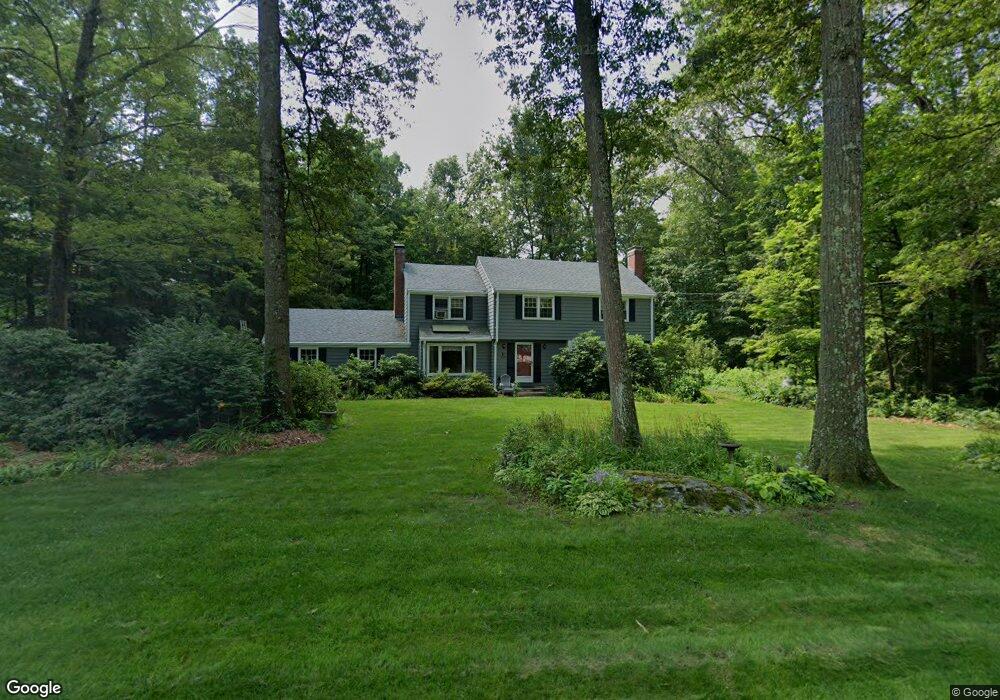
5 Lark Rd Simsbury, CT 06070
Estimated Value: $555,000 - $588,000
4
Beds
3
Baths
2,080
Sq Ft
$274/Sq Ft
Est. Value
About This Home
This home is located at 5 Lark Rd, Simsbury, CT 06070 and is currently estimated at $570,181, approximately $274 per square foot. 5 Lark Rd is a home located in Hartford County with nearby schools including Squadron Line School, Henry James Memorial School, and Simsbury High School.
Ownership History
Date
Name
Owned For
Owner Type
Purchase Details
Closed on
Mar 15, 2002
Sold by
Helena R Harrison Ret and Harrison Helene R
Bought by
Bobinski Stephen J and Bobinski Heather R
Current Estimated Value
Home Financials for this Owner
Home Financials are based on the most recent Mortgage that was taken out on this home.
Original Mortgage
$100,000
Outstanding Balance
$41,714
Interest Rate
7.04%
Estimated Equity
$528,467
Create a Home Valuation Report for This Property
The Home Valuation Report is an in-depth analysis detailing your home's value as well as a comparison with similar homes in the area
Home Values in the Area
Average Home Value in this Area
Purchase History
| Date | Buyer | Sale Price | Title Company |
|---|---|---|---|
| Bobinski Stephen J | $250,000 | -- |
Source: Public Records
Mortgage History
| Date | Status | Borrower | Loan Amount |
|---|---|---|---|
| Open | Bobinski Stephen J | $100,000 |
Source: Public Records
Tax History Compared to Growth
Tax History
| Year | Tax Paid | Tax Assessment Tax Assessment Total Assessment is a certain percentage of the fair market value that is determined by local assessors to be the total taxable value of land and additions on the property. | Land | Improvement |
|---|---|---|---|---|
| 2025 | $9,285 | $271,810 | $80,920 | $190,890 |
| 2024 | $8,658 | $259,910 | $80,920 | $178,990 |
| 2023 | $8,270 | $259,910 | $80,920 | $178,990 |
| 2022 | $7,950 | $205,810 | $87,940 | $117,870 |
| 2021 | $7,950 | $205,810 | $87,940 | $117,870 |
| 2020 | $7,633 | $205,810 | $87,940 | $117,870 |
| 2019 | $7,681 | $205,810 | $87,940 | $117,870 |
| 2018 | $7,736 | $205,810 | $87,940 | $117,870 |
| 2017 | $7,311 | $188,610 | $85,700 | $102,910 |
| 2016 | $7,001 | $188,610 | $85,700 | $102,910 |
| 2015 | $7,001 | $188,610 | $85,700 | $102,910 |
| 2014 | $7,005 | $188,610 | $85,700 | $102,910 |
Source: Public Records
Map
Nearby Homes
- 247 Old Farms Rd
- 324 Firetown Rd
- 9 Gretel Ln
- 4 Stonewall Dr
- 2 North Dr
- 7R Stonewall Dr
- 26 Winterset Ln
- 25 Barry Ln
- 5 Washington Dr
- 45 Hoskins Rd
- 87 Cambridge Ct
- 14 Gordon St
- 14 Brettonwood Dr
- 27 Ridge Rd
- 47 Salmon Brook St
- 40 Firetown Rd Unit 39
- 18 Meadowlark Rd
- 175 Case St
- 199 Broad Hill Rd
- 19 Simsbury Landing