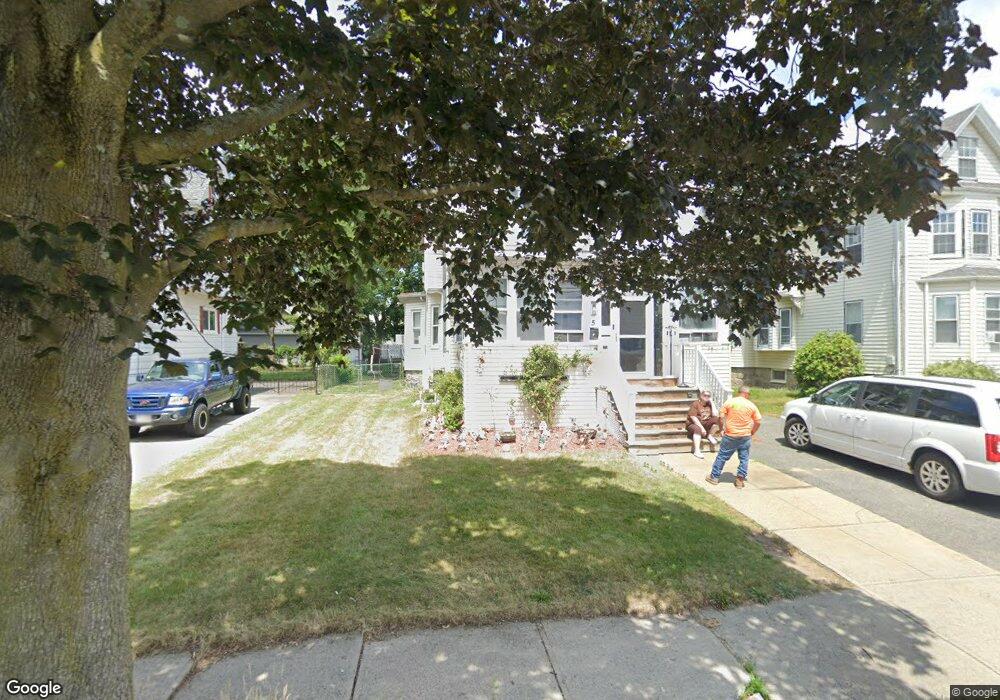
5 Linwood St Saugus, MA 01906
Cliftondale NeighborhoodEstimated Value: $667,000 - $754,000
6
Beds
2
Baths
2,264
Sq Ft
$319/Sq Ft
Est. Value
About This Home
This home is located at 5 Linwood St, Saugus, MA 01906 and is currently estimated at $722,185, approximately $318 per square foot. 5 Linwood St is a home located in Essex County with nearby schools including Saugus High School and Pioneer Charter School Of Science II.
Ownership History
Date
Name
Owned For
Owner Type
Purchase Details
Closed on
Apr 15, 1982
Bought by
Stewart Lawrence and Stewart Jo-Ann
Current Estimated Value
Create a Home Valuation Report for This Property
The Home Valuation Report is an in-depth analysis detailing your home's value as well as a comparison with similar homes in the area
Home Values in the Area
Average Home Value in this Area
Purchase History
| Date | Buyer | Sale Price | Title Company |
|---|---|---|---|
| Stewart Lawrence | -- | -- |
Source: Public Records
Mortgage History
| Date | Status | Borrower | Loan Amount |
|---|---|---|---|
| Open | Stewart Lawrence | $50,000 | |
| Closed | Stewart Lawrence | $25,000 | |
| Open | Stewart Lawrence | $100,000 |
Source: Public Records
Tax History Compared to Growth
Tax History
| Year | Tax Paid | Tax Assessment Tax Assessment Total Assessment is a certain percentage of the fair market value that is determined by local assessors to be the total taxable value of land and additions on the property. | Land | Improvement |
|---|---|---|---|---|
| 2025 | $6,362 | $595,700 | $303,500 | $292,200 |
| 2024 | $6,116 | $574,300 | $286,100 | $288,200 |
| 2023 | $6,008 | $533,600 | $251,400 | $282,200 |
| 2022 | $5,798 | $482,800 | $230,600 | $252,200 |
| 2021 | $5,356 | $434,000 | $200,300 | $233,700 |
| 2020 | $5,017 | $420,900 | $190,700 | $230,200 |
| 2019 | $4,916 | $403,600 | $173,400 | $230,200 |
| 2018 | $4,464 | $385,500 | $168,200 | $217,300 |
| 2017 | $4,132 | $342,900 | $156,900 | $186,000 |
| 2016 | $3,614 | $296,200 | $156,700 | $139,500 |
| 2015 | $3,391 | $282,100 | $149,200 | $132,900 |
| 2014 | $3,375 | $290,700 | $149,200 | $141,500 |
Source: Public Records
Map
Nearby Homes
- 32-34 Mount Vernon St
- 32 Staaf Rd
- 28 Eustis St
- 4 Foss Ave
- 292 Salem St Unit 101
- 2 Ashford St
- 47 School St
- 166 Essex St
- 6 Sim Rd Unit 1
- 431 Central St
- 15 Stone St
- 18 Nason Rd
- 184 Breedens Ln
- 9 Oakwood Ave
- 7 Davis St
- 133 Salem St Unit 418
- 133 Salem St Unit 412
- 133 Salem St Unit 213
- 133 Salem St Unit 416
- 133 Salem St Unit 307
- 3 Linwood St
- 7 Linwood St
- 553 Lincoln Ave
- 6 Linwood St
- 2 Linwood St
- 559 Lincoln Ave
- 559 Lincoln Ave Unit 1
- 10 Linwood St
- 9 Linwood St
- 561 Lincoln Ave
- 558 Lincoln Ave
- 11 Linwood St
- 560 Lincoln Ave
- 6 Avon St
- 8 Myrtle St
- 8 Myrtle St Unit 1
- 556 Lincoln Ave
- 556 Lincoln Ave Unit 1
- 10 Myrtle St
- 12 Myrtle St