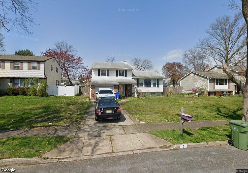
5 Locust Grove Rd Cherry Hill, NJ 08003
Estimated Value: $478,000 - $502,796
--
Bed
--
Bath
1,712
Sq Ft
$286/Sq Ft
Est. Value
About This Home
This home is located at 5 Locust Grove Rd, Cherry Hill, NJ 08003 and is currently estimated at $490,199, approximately $286 per square foot. 5 Locust Grove Rd is a home located in Camden County with nearby schools including Joseph D. Sharp Elementary School, Henry C. Beck Middle School, and Cherry Hill High-East High School.
Ownership History
Date
Name
Owned For
Owner Type
Purchase Details
Closed on
May 12, 2000
Sold by
King Kenneth C
Bought by
Cantarella Morgan J
Current Estimated Value
Home Financials for this Owner
Home Financials are based on the most recent Mortgage that was taken out on this home.
Original Mortgage
$118,500
Outstanding Balance
$40,938
Interest Rate
8.14%
Estimated Equity
$449,261
Create a Home Valuation Report for This Property
The Home Valuation Report is an in-depth analysis detailing your home's value as well as a comparison with similar homes in the area
Home Values in the Area
Average Home Value in this Area
Purchase History
| Date | Buyer | Sale Price | Title Company |
|---|---|---|---|
| Cantarella Morgan J | $158,500 | -- |
Source: Public Records
Mortgage History
| Date | Status | Borrower | Loan Amount |
|---|---|---|---|
| Open | Cantarella Morgan J | $118,500 |
Source: Public Records
Tax History Compared to Growth
Tax History
| Year | Tax Paid | Tax Assessment Tax Assessment Total Assessment is a certain percentage of the fair market value that is determined by local assessors to be the total taxable value of land and additions on the property. | Land | Improvement |
|---|---|---|---|---|
| 2025 | $9,359 | $209,900 | $68,200 | $141,700 |
| 2024 | $8,820 | $209,900 | $68,200 | $141,700 |
| 2023 | $8,820 | $209,900 | $68,200 | $141,700 |
| 2022 | $8,577 | $209,900 | $68,200 | $141,700 |
| 2021 | $8,604 | $209,900 | $68,200 | $141,700 |
| 2020 | $8,499 | $209,900 | $68,200 | $141,700 |
| 2019 | $8,495 | $209,900 | $68,200 | $141,700 |
| 2018 | $8,472 | $209,900 | $68,200 | $141,700 |
| 2017 | $8,356 | $209,900 | $68,200 | $141,700 |
| 2016 | $8,245 | $209,900 | $68,200 | $141,700 |
| 2015 | $8,115 | $209,900 | $68,200 | $141,700 |
| 2014 | $8,024 | $209,900 | $68,200 | $141,700 |
Source: Public Records
Map
Nearby Homes
- 16 Gatehouse Ln
- 100 E Eagle Ln
- 8 Elbow Ln
- 309 Highgate Ln
- 26 Regent Rd
- 103 Aspen Ct
- 220 Deerpark Ct
- 360 Juniper St
- 145 Kilburn Dr
- 100 Old Colony Ln
- 112 Champlain Rd
- 219 Conestoga Dr
- 800 Marlowe Rd
- 213 Balfield Terrace
- 22 Hawk Ln
- 2 W High Ridge Rd
- 209 Henfield Ave
- 63 Banner Ct Unit 63
- 102 Partree Rd
- 110 Partree Rd
- 7 Locust Grove Rd
- 3 Locust Grove Rd
- 204 Roanoke Rd
- 202 Roanoke Rd
- 9 Locust Grove Rd
- 200 Roanoke Rd
- 10 Locust Grove Rd
- 10 Locust Grove Dr
- 206 Roanoke Rd
- 8 Locust Grove Rd
- 12 Locust Grove Rd
- 6 Locust Grove Rd
- 11 Locust Grove Rd
- 102 Lamp Post Ln
- 14 Locust Grove Rd
- 106 Lamp Post Ln
- 4 Locust Grove Rd
- 208 Roanoke Rd
- 16 Locust Grove Rd
- 102 Roanoke Rd