5 Locust Ln Sherman, CT 06784
Estimated Value: $630,000 - $691,000
2
Beds
4
Baths
1,650
Sq Ft
$397/Sq Ft
Est. Value
About This Home
This home is located at 5 Locust Ln, Sherman, CT 06784 and is currently estimated at $654,829, approximately $396 per square foot. 5 Locust Ln is a home located in Fairfield County with nearby schools including Sherman School.
Ownership History
Date
Name
Owned For
Owner Type
Purchase Details
Closed on
Feb 27, 2025
Sold by
Smith Brian C and Smith Amy K
Bought by
Rosenzano Llc
Current Estimated Value
Purchase Details
Closed on
Oct 15, 2024
Sold by
Smith Brian C and Smith Amy K
Bought by
Rosenzano Llc
Purchase Details
Closed on
Jun 20, 2014
Sold by
Wilburn Steven and Fitzgerald Shawn
Bought by
Smith Brian C and Smith Amy K
Purchase Details
Closed on
May 4, 2000
Sold by
Webb Edward R and Lobraico Tracey L
Bought by
Smith Brian C and Smith Amy K
Purchase Details
Closed on
Jul 23, 1999
Sold by
Perlstein Sherry
Bought by
Webb Edward R and Lobraico Tracey L
Create a Home Valuation Report for This Property
The Home Valuation Report is an in-depth analysis detailing your home's value as well as a comparison with similar homes in the area
Home Values in the Area
Average Home Value in this Area
Purchase History
| Date | Buyer | Sale Price | Title Company |
|---|---|---|---|
| Rosenzano Llc | -- | None Available | |
| Rosenzano Llc | -- | None Available | |
| Rosenzano Llc | $600,000 | None Available | |
| Rosenzano Llc | $600,000 | None Available | |
| Smith Brian C | $40,000 | -- | |
| Smith Brian C | $222,000 | -- | |
| Webb Edward R | $205,000 | -- | |
| Smith Brian C | $40,000 | -- | |
| Smith Brian C | $222,000 | -- | |
| Webb Edward R | $205,000 | -- |
Source: Public Records
Mortgage History
| Date | Status | Borrower | Loan Amount |
|---|---|---|---|
| Previous Owner | Webb Edward R | $149,000 | |
| Previous Owner | Webb Edward R | $47,140 |
Source: Public Records
Tax History Compared to Growth
Tax History
| Year | Tax Paid | Tax Assessment Tax Assessment Total Assessment is a certain percentage of the fair market value that is determined by local assessors to be the total taxable value of land and additions on the property. | Land | Improvement |
|---|---|---|---|---|
| 2025 | $5,479 | $328,700 | $90,900 | $237,800 |
| 2024 | $5,378 | $328,700 | $90,900 | $237,800 |
| 2023 | $5,857 | $328,700 | $90,900 | $237,800 |
| 2022 | $5,976 | $328,700 | $90,900 | $237,800 |
| 2021 | $6,127 | $328,700 | $90,900 | $237,800 |
| 2020 | $4,346 | $328,700 | $90,900 | $237,800 |
| 2019 | $6,512 | $328,700 | $90,900 | $237,800 |
| 2018 | $6,347 | $312,200 | $90,900 | $221,300 |
| 2017 | $6,209 | $305,400 | $90,900 | $214,500 |
| 2016 | $4,821 | $237,160 | $90,930 | $146,230 |
| 2015 | $4,775 | $238,280 | $90,930 | $147,350 |
| 2014 | $4,482 | $225,890 | $78,540 | $147,350 |
Source: Public Records
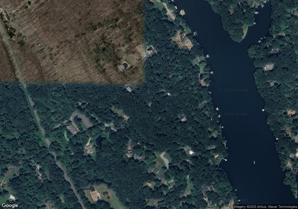
Map
Nearby Homes
- 8 Ledgewood Dr
- 21 Holiday Point Rd
- 4 Deer Run Trail
- 18 Fox Run
- 86 Connecticut 37
- 7 Ridge Rd
- 8 Candleview Dr
- 6 Brinsmade Ln
- 7 Glenview Dr
- 5 Stone Wall Ln
- 2 Coburn Road W, She Coburn Rd W
- 5 Bridgeworth Ln
- 0 Rte 39 South State Route
- 0 Wagon Wheel Rd Unit 24065102
- 43 Meeting House Rd
- 0 Sherman Rd
- 2 Coburn Rd W
- 0 Candlewood Mountain Rd Unit 24137997
- 0 Candlewood Mountain Rd Unit 24138000
- 0 Candlewood Mountain Rd Unit 24134055