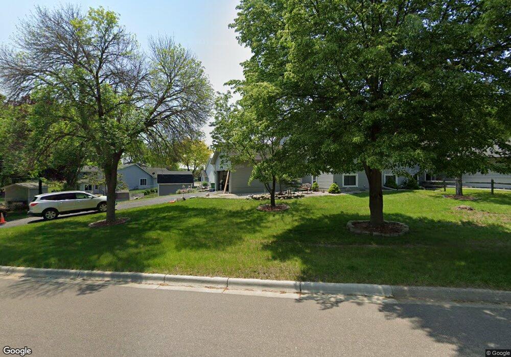
5 Maple Island Rd Burnsville, MN 55306
Estimated Value: $302,000 - $369,000
3
Beds
2
Baths
1,040
Sq Ft
$319/Sq Ft
Est. Value
About This Home
This home is located at 5 Maple Island Rd, Burnsville, MN 55306 and is currently estimated at $331,323, approximately $318 per square foot. 5 Maple Island Rd is a home located in Dakota County with nearby schools including Oak Hills Elementary School, Kenwood Trail Middle School, and Lakeville North High School.
Ownership History
Date
Name
Owned For
Owner Type
Purchase Details
Closed on
Aug 5, 2022
Sold by
Silvert Todd
Bought by
Wethor Timothy
Current Estimated Value
Purchase Details
Closed on
Aug 22, 2016
Sold by
Silvert Todd S and Wethor Timothy C
Bought by
Silvert Todd S
Home Financials for this Owner
Home Financials are based on the most recent Mortgage that was taken out on this home.
Original Mortgage
$100,000
Interest Rate
3.43%
Mortgage Type
New Conventional
Purchase Details
Closed on
Nov 16, 2001
Sold by
Lokken Kim W and Lokken Elizabeth L
Bought by
Silvert Todd and Wethor Timothy C
Create a Home Valuation Report for This Property
The Home Valuation Report is an in-depth analysis detailing your home's value as well as a comparison with similar homes in the area
Home Values in the Area
Average Home Value in this Area
Purchase History
| Date | Buyer | Sale Price | Title Company |
|---|---|---|---|
| Wethor Timothy | $290,000 | -- | |
| Silvert Todd S | -- | Attorney | |
| Silvert Todd | $168,900 | -- |
Source: Public Records
Mortgage History
| Date | Status | Borrower | Loan Amount |
|---|---|---|---|
| Previous Owner | Silvert Todd S | $100,000 |
Source: Public Records
Tax History Compared to Growth
Tax History
| Year | Tax Paid | Tax Assessment Tax Assessment Total Assessment is a certain percentage of the fair market value that is determined by local assessors to be the total taxable value of land and additions on the property. | Land | Improvement |
|---|---|---|---|---|
| 2024 | $3,402 | $273,500 | $59,500 | $214,000 |
| 2023 | $3,402 | $278,300 | $59,600 | $218,700 |
| 2022 | $3,162 | $282,600 | $50,400 | $232,200 |
| 2021 | $3,004 | $238,400 | $43,800 | $194,600 |
| 2020 | $3,044 | $222,200 | $41,700 | $180,500 |
| 2019 | $2,392 | $212,500 | $39,700 | $172,800 |
| 2018 | $2,301 | $195,200 | $37,800 | $157,400 |
| 2017 | $2,021 | $170,700 | $36,000 | $134,700 |
| 2016 | $2,061 | $164,400 | $34,300 | $130,100 |
| 2015 | $1,682 | $138,904 | $28,623 | $110,281 |
| 2014 | -- | $119,066 | $27,151 | $91,915 |
| 2013 | -- | $104,133 | $24,006 | $80,127 |
Source: Public Records
Map
Nearby Homes
- 16045 Oak Shore Dr
- 101 Oak Shore Dr
- 10435 163rd St W
- 313 Maple Island Rd
- 16365 Javari Ct
- 16357 Java Ln
- 16344 Jatos Cir
- 333 Maple Island Rd
- 9955 161st St W
- 1005 Hilloway Cir
- 16415 Jaffna Place
- 16386 Jaffna Place
- 15250 Stevens Ave
- 1105 W 158th St
- 594 Stonewood Ln
- 15100 Eileen Cir
- 15455 Fremont Ave S
- 1010 E 157th St
- 1312 Fremont Ct
- 16812 Jalisco Terrace E
- 16120 Joplin Way
- 16124 Joplin Way
- 16118 Joplin Way
- 2 Maple Island Rd
- 15745 Maple Island Ct
- 16126 Joplin Way
- 16114 Joplin Way
- 7 Maple Island Rd
- 11 Maple Island Rd
- 9 Maple Island Rd
- 15 Maple Island Rd
- 4 Oak Shore Dr
- 16005 Oak Shore Dr
- 15743 Maple Island Ct
- 15742 Maple Island Ct
- 16112 Joplin Way
- 13 Maple Island Rd
- 4 Maple Island Rd
- 14 Maple Island Rd
- 16130 Joplin Way