Estimated Value: $740,012 - $855,000
3
Beds
3
Baths
1,424
Sq Ft
$546/Sq Ft
Est. Value
About This Home
This home is located at 5 Marian Rd, Acton, MA 01720 and is currently estimated at $777,253, approximately $545 per square foot. 5 Marian Rd is a home located in Middlesex County with nearby schools including Acton-Boxborough Regional High School.
Ownership History
Date
Name
Owned For
Owner Type
Purchase Details
Closed on
Feb 26, 2025
Sold by
Hart Russell D and Hart Kathleen S
Bought by
Hart Irt and Mooney
Current Estimated Value
Purchase Details
Closed on
Mar 28, 1988
Sold by
Carsten Ronald D
Bought by
Hart Russell D
Home Financials for this Owner
Home Financials are based on the most recent Mortgage that was taken out on this home.
Original Mortgage
$158,850
Interest Rate
9.82%
Mortgage Type
Purchase Money Mortgage
Create a Home Valuation Report for This Property
The Home Valuation Report is an in-depth analysis detailing your home's value as well as a comparison with similar homes in the area
Home Values in the Area
Average Home Value in this Area
Purchase History
| Date | Buyer | Sale Price | Title Company |
|---|---|---|---|
| Hart Irt | -- | None Available | |
| Hart Irt | -- | None Available | |
| Hart Russell D | $176,500 | -- |
Source: Public Records
Mortgage History
| Date | Status | Borrower | Loan Amount |
|---|---|---|---|
| Previous Owner | Hart Russell D | $189,000 | |
| Previous Owner | Hart Russell D | $131,000 | |
| Previous Owner | Hart Russell D | $146,700 | |
| Previous Owner | Hart Russell D | $158,850 |
Source: Public Records
Tax History Compared to Growth
Tax History
| Year | Tax Paid | Tax Assessment Tax Assessment Total Assessment is a certain percentage of the fair market value that is determined by local assessors to be the total taxable value of land and additions on the property. | Land | Improvement |
|---|---|---|---|---|
| 2025 | $10,684 | $623,000 | $343,300 | $279,700 |
| 2024 | $10,180 | $610,700 | $343,300 | $267,400 |
| 2023 | $9,734 | $554,300 | $312,300 | $242,000 |
| 2022 | $9,787 | $503,200 | $271,200 | $232,000 |
| 2021 | $9,366 | $463,000 | $251,300 | $211,700 |
| 2020 | $8,797 | $457,200 | $251,300 | $205,900 |
| 2019 | $8,329 | $430,000 | $251,300 | $178,700 |
| 2018 | $7,847 | $404,900 | $251,300 | $153,600 |
| 2017 | $7,717 | $404,900 | $251,300 | $153,600 |
| 2016 | $7,073 | $367,800 | $251,300 | $116,500 |
| 2015 | $7,031 | $369,100 | $251,300 | $117,800 |
| 2014 | $7,080 | $364,000 | $251,300 | $112,700 |
Source: Public Records
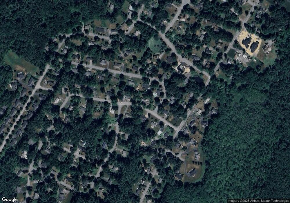
Map
Nearby Homes
- 90 Willow St Unit 1
- 92 Willow St Unit 3
- 92 Willow St Unit 2
- 3 Heather Hill Rd
- 12 Olde Lantern Rd
- 89 Windsor Ave
- 30 Paul Revere Rd
- 4,7,8 Crestwood Ln
- 285 Central St Unit 285
- 68 Macintosh Ln
- 134 Russet Ln
- 5 Elm St Unit 1
- 9 Elm St Unit 1
- 96 Cedarwood Rd
- 169 Main St
- 19 Railroad St Unit C2
- 131 Main St
- 129 Main St Unit 129
- 129 Main St
- 220 Red Acre Rd