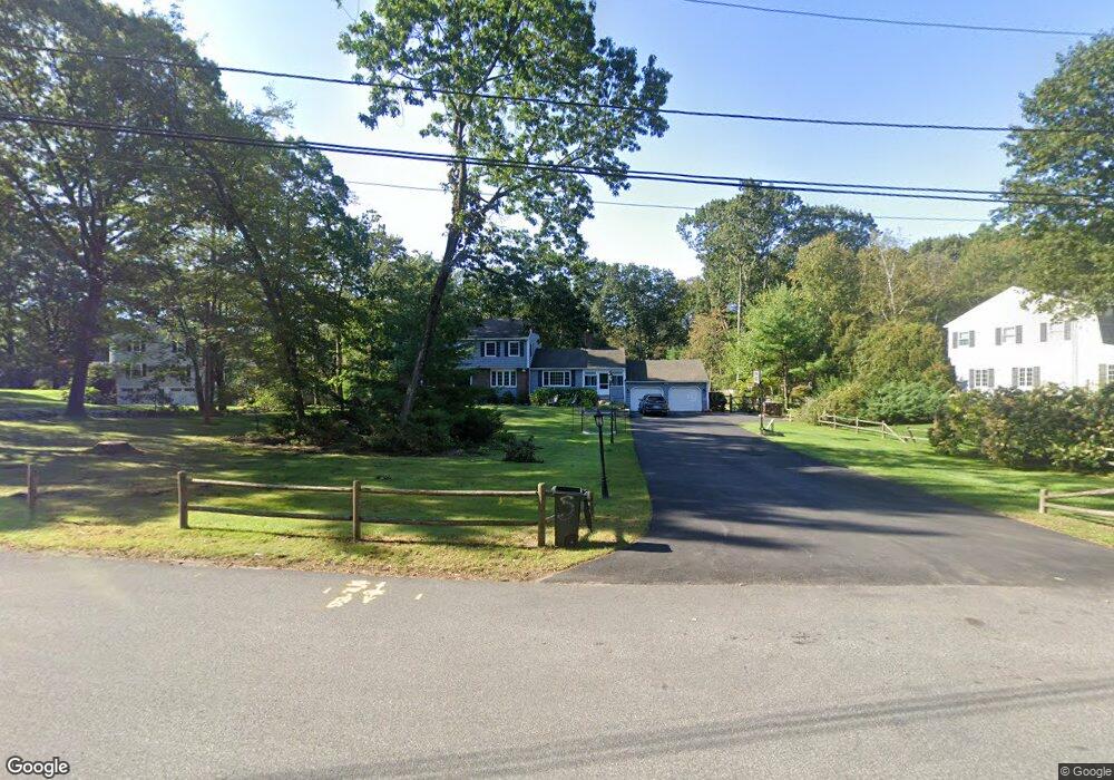
5 Marie Dr Andover, MA 01810
East Andover NeighborhoodEstimated Value: $1,250,000 - $1,402,884
4
Beds
4
Baths
2,708
Sq Ft
$501/Sq Ft
Est. Value
About This Home
This home is located at 5 Marie Dr, Andover, MA 01810 and is currently estimated at $1,355,721, approximately $500 per square foot. 5 Marie Dr is a home located in Essex County with nearby schools including Bancroft Elementary School, Doherty Middle School, and Andover High School.
Ownership History
Date
Name
Owned For
Owner Type
Purchase Details
Closed on
Dec 16, 2013
Sold by
Berman Andrew and Berman Tracey
Bought by
Berman Tracey and Berman Andrew
Current Estimated Value
Purchase Details
Closed on
Nov 15, 2010
Sold by
Marilyn A Bardetti Ft and Bardetti Marilyn A
Bought by
Berman Andrew and Berman Tracey
Purchase Details
Closed on
Feb 13, 2004
Sold by
Bardetti Joseph F and Bardetti Marilyn A
Bought by
Marilyn A Bardetti Ft
Create a Home Valuation Report for This Property
The Home Valuation Report is an in-depth analysis detailing your home's value as well as a comparison with similar homes in the area
Home Values in the Area
Average Home Value in this Area
Purchase History
| Date | Buyer | Sale Price | Title Company |
|---|---|---|---|
| Berman Tracey | -- | -- | |
| Berman Andrew | $660,000 | -- | |
| Marilyn A Bardetti Ft | -- | -- |
Source: Public Records
Tax History Compared to Growth
Tax History
| Year | Tax Paid | Tax Assessment Tax Assessment Total Assessment is a certain percentage of the fair market value that is determined by local assessors to be the total taxable value of land and additions on the property. | Land | Improvement |
|---|---|---|---|---|
| 2024 | $12,686 | $984,900 | $510,100 | $474,800 |
| 2023 | $12,148 | $889,300 | $459,600 | $429,700 |
| 2022 | $11,480 | $786,300 | $399,900 | $386,400 |
| 2021 | $11,050 | $722,700 | $363,800 | $358,900 |
| 2020 | $10,498 | $699,400 | $355,100 | $344,300 |
| 2019 | $10,448 | $684,200 | $344,600 | $339,600 |
| 2018 | $10,107 | $646,200 | $331,500 | $314,700 |
| 2017 | $9,702 | $639,100 | $325,000 | $314,100 |
| 2016 | $9,139 | $616,700 | $325,000 | $291,700 |
| 2015 | $8,826 | $589,600 | $312,400 | $277,200 |
Source: Public Records
Map
Nearby Homes
- 204 Chestnut St
- 32 Lucerne Dr
- 53 Salem St
- 105 Elm St Unit A
- 124 Hillside Rd
- 9 Chapman Ave
- 61 Elm St Unit 61
- 76 Hillside Rd
- 104 Salem St
- 10 Maple Ave Unit 3
- Lot 7 Weeping Willow Dr
- 20 Walnut Ave
- 133B Salem
- 12 Farnum St
- 495 Johnson St
- 156 High St
- 124 Quail Run Rd
- 136 Quail Run Rd
- 80 Sandra Ln
- 47 Abbot St