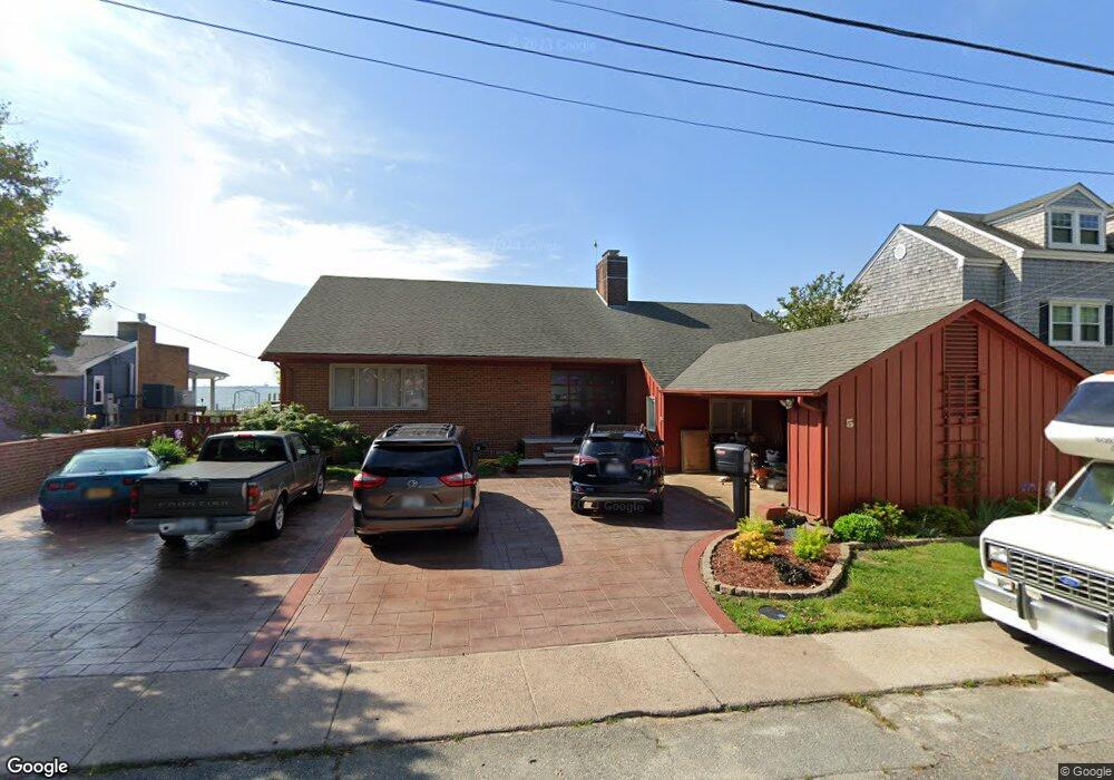
5 Maynard St Hampton, VA 23661
Wythe NeighborhoodEstimated Value: $442,000 - $660,000
3
Beds
2
Baths
2,322
Sq Ft
$223/Sq Ft
Est. Value
About This Home
This home is located at 5 Maynard St, Hampton, VA 23661 and is currently estimated at $518,422, approximately $223 per square foot. 5 Maynard St is a home located in Hampton City with nearby schools including Hunter B. Andrews PK-8 School, C. Alton Lindsay Middle School, and Hampton High School.
Ownership History
Date
Name
Owned For
Owner Type
Purchase Details
Closed on
Jan 28, 2016
Sold by
Myrna White Vick Estate
Bought by
Stock Thomas and Stock Kathleen L
Current Estimated Value
Home Financials for this Owner
Home Financials are based on the most recent Mortgage that was taken out on this home.
Original Mortgage
$331,987
Outstanding Balance
$264,826
Interest Rate
3.97%
Mortgage Type
VA
Estimated Equity
$253,596
Create a Home Valuation Report for This Property
The Home Valuation Report is an in-depth analysis detailing your home's value as well as a comparison with similar homes in the area
Home Values in the Area
Average Home Value in this Area
Purchase History
| Date | Buyer | Sale Price | Title Company |
|---|---|---|---|
| Stock Thomas | $325,000 | Attorney |
Source: Public Records
Mortgage History
| Date | Status | Borrower | Loan Amount |
|---|---|---|---|
| Open | Stock Thomas | $331,987 |
Source: Public Records
Tax History
| Year | Tax Paid | Tax Assessment Tax Assessment Total Assessment is a certain percentage of the fair market value that is determined by local assessors to be the total taxable value of land and additions on the property. | Land | Improvement |
|---|---|---|---|---|
| 2025 | $5,802 | $499,800 | $240,900 | $258,900 |
| 2024 | $5,611 | $487,900 | $240,900 | $247,000 |
| 2023 | $5,368 | $462,800 | $240,900 | $221,900 |
| 2022 | $5,207 | $441,300 | $233,600 | $207,700 |
| 2021 | $4,873 | $382,500 | $215,900 | $166,600 |
| 2020 | $4,603 | $371,200 | $215,900 | $155,300 |
| 2019 | $4,600 | $371,000 | $215,900 | $155,100 |
| 2018 | $4,683 | $354,800 | $215,800 | $139,000 |
| 2017 | $4,493 | $0 | $0 | $0 |
| 2016 | $4,493 | $354,800 | $0 | $0 |
| 2015 | $4,725 | $0 | $0 | $0 |
| 2014 | $4,910 | $389,200 | $227,200 | $162,000 |
Source: Public Records
Map
Nearby Homes
- 2915 Chesapeake Ave
- 119 Wythe Pkwy
- 135 Pochin Place
- 138 Robinson Rd
- 1508 Chesapeake Ave
- 1506 Chesapeake Ave
- 238 Pochin Place
- 254 Pocahontas Place
- 222 Wythe Pkwy
- 138 Hampton Roads Ave
- 142 Clifton St
- 2612 Winona Dr E
- 144 Algonquin Rd
- 237 Piedmont Ave
- 515 Pocahontas Place
- 512 Pocahontas Place
- 1105 Chesapeake Ave
- 200 Claremont Ave
- 1714 Victoria Blvd
- 614 Rolfe St
- 6 Maynard St
- 4 Maynard St
- 3 Maynard St Unit 1
- 3 Maynard St Unit 2
- 3 Maynard St
- 3 Maynard St Unit 4
- 3 Maynard St Unit 3
- 1 Maynard St
- 7 Maynard St
- 7 Powhatan Pkwy
- 2914 Chesapeake Ave
- 2 Maynard St
- 2912 Chesapeake Ave
- 2904 Chesapeake Ave
- 2916 Chesapeake Ave
- 2502 Chesapeake Ave
- 2500 Chesapeake Ave
- 2920 Chesapeake Ave
- 2408 Chesapeake Ave
- 2911 Chesapeake Ave
Your Personal Tour Guide
Ask me questions while you tour the home.