5 Maywood Dr Old Lyme, CT 06371
Estimated Value: $766,000 - $865,000
3
Beds
3
Baths
2,496
Sq Ft
$327/Sq Ft
Est. Value
About This Home
This home is located at 5 Maywood Dr, Old Lyme, CT 06371 and is currently estimated at $815,742, approximately $326 per square foot. 5 Maywood Dr is a home located in New London County with nearby schools including Mile Creek School, Lyme-Old Lyme Middle School, and Lyme-Old Lyme High School.
Ownership History
Date
Name
Owned For
Owner Type
Purchase Details
Closed on
Dec 7, 2021
Sold by
Sullivan Beth E
Bought by
Beth E Sullivan Lt
Current Estimated Value
Purchase Details
Closed on
May 6, 1996
Sold by
Childress William A
Bought by
Seddon Andrew P and Seddon Beth R
Create a Home Valuation Report for This Property
The Home Valuation Report is an in-depth analysis detailing your home's value as well as a comparison with similar homes in the area
Home Values in the Area
Average Home Value in this Area
Purchase History
| Date | Buyer | Sale Price | Title Company |
|---|---|---|---|
| Beth E Sullivan Lt | -- | None Available | |
| Seddon Andrew P | $265,000 | -- |
Source: Public Records
Mortgage History
| Date | Status | Borrower | Loan Amount |
|---|---|---|---|
| Previous Owner | Seddon Andrew P | $60,000 | |
| Previous Owner | Seddon Andrew P | $151,646 | |
| Previous Owner | Seddon Andrew P | $40,000 |
Source: Public Records
Tax History Compared to Growth
Tax History
| Year | Tax Paid | Tax Assessment Tax Assessment Total Assessment is a certain percentage of the fair market value that is determined by local assessors to be the total taxable value of land and additions on the property. | Land | Improvement |
|---|---|---|---|---|
| 2025 | $8,147 | $502,000 | $148,900 | $353,100 |
| 2024 | $7,462 | $305,800 | $105,400 | $200,400 |
| 2023 | $7,186 | $305,800 | $105,400 | $200,400 |
| 2022 | $7,186 | $305,800 | $105,400 | $200,400 |
| 2021 | $7,125 | $305,800 | $105,400 | $200,400 |
| 2020 | $7,095 | $305,800 | $105,400 | $200,400 |
| 2019 | $7,227 | $322,500 | $111,000 | $211,500 |
| 2018 | $7,066 | $322,500 | $111,000 | $211,500 |
| 2017 | $7,014 | $322,500 | $111,000 | $211,500 |
| 2016 | $6,837 | $322,500 | $111,000 | $211,500 |
| 2015 | $6,650 | $322,500 | $111,000 | $211,500 |
| 2014 | $6,794 | $345,600 | $111,000 | $234,600 |
Source: Public Records
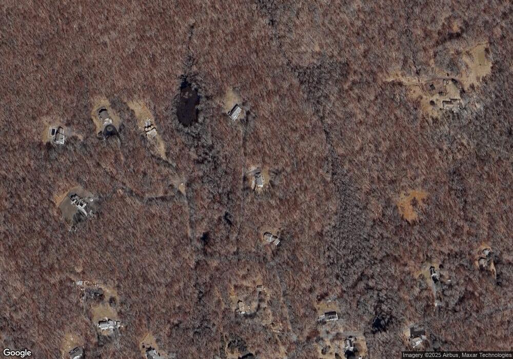
Map
Nearby Homes
- 15 Short Hills Rd
- 188 4 Mile River Rd
- 23 Lords Meadow Ln
- 14 Colton Rd
- 18 Twin Valley Rd
- 3 Twin Valley Rd
- 16 Twin Valley Rd
- 23 Over Brook Rd
- Waramaug Plan at Riverside Reserve
- Highland Plan at Riverside Reserve
- Hayward Plan at Riverside Reserve
- Ashford Plan at Riverside Reserve
- Lillinonah Plan at Riverside Reserve
- 16 Jericho Dr
- 57 Spring Rock Rd
- 41-1 Whippoorwill Rd
- 2 Riverdale Landing
- 287 Boston Post Rd
- 80 Boston Post Rd
- 231 Mile Creek Rd
- 3 Maywood Dr
- 7 Maywood Dr
- 10A Maywood Dr
- 4 Maywood Dr
- 11 Maywood Dr
- 14 Maywood Dr
- 4 Short Hills Rd
- 6 Short Hills Rd
- 79 Flat Rock Hill Rd
- 12 Maywood Dr
- 8 Short Hills Rd
- 5 Short Hills Rd
- 8 Short Hills Rd
- 14 Short Hills Rd
- 12-1 Maywood Dr
- 83 Flat Rock Hill Rd
- 76 Flat Rock Hill Rd
- 73 Flat Rock Hill Rd
- 12 Short Hills Rd
- 9 Short Hills Rd