5 Mccarthy Rd Holmes, NY 12531
Estimated Value: $522,000 - $2,120,564
3
Beds
4
Baths
4,196
Sq Ft
$340/Sq Ft
Est. Value
About This Home
This home is located at 5 Mccarthy Rd, Holmes, NY 12531 and is currently estimated at $1,426,855, approximately $340 per square foot. 5 Mccarthy Rd is a home located in Dutchess County with nearby schools including Pawling Elementary School, Pawling Middle School, and Pawling High School.
Ownership History
Date
Name
Owned For
Owner Type
Purchase Details
Closed on
Feb 15, 2019
Sold by
Maspeth Fsla
Bought by
Burkstrom Nils and Burkstrom Marybeth
Current Estimated Value
Purchase Details
Closed on
Jul 14, 2017
Sold by
Graziano Darren
Bought by
Maspeth Federal Savings A
Purchase Details
Closed on
Oct 4, 2007
Sold by
Woods Michael
Bought by
Graziano Darren
Create a Home Valuation Report for This Property
The Home Valuation Report is an in-depth analysis detailing your home's value as well as a comparison with similar homes in the area
Home Values in the Area
Average Home Value in this Area
Purchase History
| Date | Buyer | Sale Price | Title Company |
|---|---|---|---|
| Burkstrom Nils | $950,000 | -- | |
| Burkstrom Nils | $950,000 | -- | |
| Maspeth Federal Savings A | $2,109,229 | -- | |
| Maspeth Federal Savings A | $2,109,229 | -- | |
| Graziano Darren | $2,000,000 | William Shilling | |
| Graziano Darren | $2,000,000 | William Shilling |
Source: Public Records
Tax History
| Year | Tax Paid | Tax Assessment Tax Assessment Total Assessment is a certain percentage of the fair market value that is determined by local assessors to be the total taxable value of land and additions on the property. | Land | Improvement |
|---|---|---|---|---|
| 2024 | $23,366 | $1,032,900 | $473,000 | $559,900 |
| 2023 | $32,004 | $1,032,900 | $473,000 | $559,900 |
| 2022 | $39,906 | $1,032,900 | $473,000 | $559,900 |
| 2021 | $34,107 | $1,032,900 | $473,000 | $559,900 |
| 2020 | $24,341 | $1,032,900 | $473,000 | $559,900 |
| 2019 | $32,600 | $1,032,900 | $473,000 | $559,900 |
| 2018 | $32,318 | $1,032,900 | $473,000 | $559,900 |
| 2017 | $32,603 | $1,032,900 | $473,000 | $559,900 |
| 2016 | $33,427 | $1,032,900 | $473,000 | $559,900 |
| 2015 | -- | $1,532,900 | $473,000 | $1,059,900 |
| 2014 | -- | $1,532,900 | $630,600 | $902,300 |
Source: Public Records
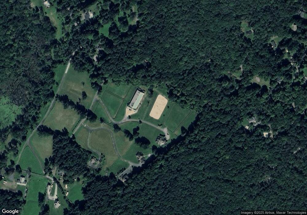
Map
Nearby Homes
- 42 Blackstone Ridge
- 57 S White Rock Rd
- 0 S White Rock Rd Unit 6015368
- 489 Grape Hollow Rd
- 545 Grape Hollow Rd
- 11 Park Ln
- 4 Prout Ln
- 0 South Rd Unit KEY853088
- 120 South Rd
- 194 South Rd
- 23 Lakeview Dr
- 49 Lakeview Dr
- 1098 New York 292
- 10 William Way
- 14 Moss Hill Rd
- 24 Arthur Rd
- 4 Beachway Dr
- 5 Birch Dr
- 379 S White Rock Rd
- 353 Devon Farms Rd
- 5 Mc Carthy Rd
- 27 Mc Carthy Rd
- 27 Mc Carthy Rd
- 60 Pepper Hill Rd
- 4 N White Rock Rd
- 41 Mc Carthy Rd
- 43 Pepper Hill Rd
- 33 Pepper Hill Rd
- 55 Pepper Hill Rd
- 42 Blackstone Ridge
- 3 S White Rock Rd
- 1 S White Rock Rd
- 45 Blackstone Ridge
- 45 Blackstone Ridge
- 53 Pepper Hill Rd Unit Pepper Hill Rd.
- 53 Pepper Hill Rd
- 5 N White Rock Rd
- 3 N White Rock Rd
- 0 Pepper Hill Rd Unit 273230
- 27 N White Rock Rd
Your Personal Tour Guide
Ask me questions while you tour the home.