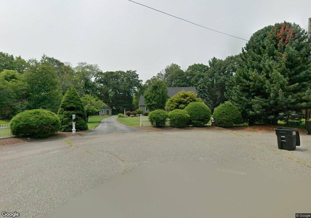
5 Mctee Dr Norton, MA 02766
Estimated Value: $815,842 - $971,000
4
Beds
3
Baths
3,400
Sq Ft
$261/Sq Ft
Est. Value
About This Home
This home is located at 5 Mctee Dr, Norton, MA 02766 and is currently estimated at $886,711, approximately $260 per square foot. 5 Mctee Dr is a home located in Bristol County with nearby schools including J.C. Solmonese Elementary School, Henri A. Yelle Elementary School, and Norton Middle School.
Ownership History
Date
Name
Owned For
Owner Type
Purchase Details
Closed on
Jan 31, 2005
Sold by
Springer William G and Springer Marilyn J
Bought by
Evans Stephen G and Burns Kelly Anne
Current Estimated Value
Purchase Details
Closed on
Dec 27, 1996
Sold by
Gerlich John R and Gerlich Mary E
Bought by
Springer William G and Springer Marilyn J
Purchase Details
Closed on
Jul 12, 1993
Sold by
Kalass Todd E and Kalass Patricia J
Bought by
Gerlich John R and Gerlich Mary E
Purchase Details
Closed on
Jan 23, 1991
Sold by
Badio Country Classics
Bought by
Kalass Todd E and Kalass Patricia J
Create a Home Valuation Report for This Property
The Home Valuation Report is an in-depth analysis detailing your home's value as well as a comparison with similar homes in the area
Home Values in the Area
Average Home Value in this Area
Purchase History
| Date | Buyer | Sale Price | Title Company |
|---|---|---|---|
| Evans Stephen G | $560,000 | -- | |
| Springer William G | $235,000 | -- | |
| Gerlich John R | $195,000 | -- | |
| Kalass Todd E | $205,300 | -- |
Source: Public Records
Mortgage History
| Date | Status | Borrower | Loan Amount |
|---|---|---|---|
| Open | Kalass Todd E | $218,000 | |
| Closed | Kalass Todd E | $75,000 |
Source: Public Records
Tax History
| Year | Tax Paid | Tax Assessment Tax Assessment Total Assessment is a certain percentage of the fair market value that is determined by local assessors to be the total taxable value of land and additions on the property. | Land | Improvement |
|---|---|---|---|---|
| 2025 | $87 | $668,300 | $225,800 | $442,500 |
| 2024 | $8,244 | $636,600 | $215,000 | $421,600 |
| 2023 | $7,738 | $595,700 | $202,800 | $392,900 |
| 2022 | $7,474 | $524,100 | $184,400 | $339,700 |
| 2021 | $7,078 | $474,100 | $175,600 | $298,500 |
| 2020 | $6,873 | $464,400 | $170,500 | $293,900 |
| 2019 | $6,628 | $444,800 | $164,000 | $280,800 |
| 2018 | $6,516 | $429,800 | $164,000 | $265,800 |
| 2017 | $6,535 | $425,200 | $164,000 | $261,200 |
| 2016 | $6,277 | $402,100 | $164,000 | $238,100 |
| 2015 | $6,047 | $392,900 | $160,500 | $232,400 |
| 2014 | $5,799 | $377,300 | $152,800 | $224,500 |
Source: Public Records
Map
Nearby Homes
- 4 Village Way Unit F
- 10 Walter St
- 20 John F. Kennedy Dr
- 143 Oak St Unit 10
- 71 Richardson Ave
- 345 Richardson Ave
- 451R Gilbert St
- 933 Pleasant St
- 123 Pike Ave
- 2 Oak St Unit 2A
- 2 Oak St Unit 2B
- 180 Pike Ave
- 2 Edgewater Dr Unit 2
- 65 Godfrey Dr Unit 65
- 343 Godfrey Dr
- 95 Godfrey Dr
- 0 Pike Ave
- 5 Robin Cir Unit 5
- 108 S Worcester St
- 49 Pheasant Hill Rd
- 3 Mctee Dr
- 4 Mctee Dr
- 2 Country Club Way
- 38 Walker St
- 32 Walker St
- 30 Walker St
- 4 Country Club Way
- 28 Walker St
- 3 Country Club Way
- 29 Walker St
- 6 Country Club Way
- 31 Walker St
- 5 Country Club Way
- 24 Country Club Way
- 8 Country Club Way
- 155 N Worcester St
- 26 Walker St
- 153 N Worcester St
- 19 Country Club Way
- 22 Country Club Way
Your Personal Tour Guide
Ask me questions while you tour the home.