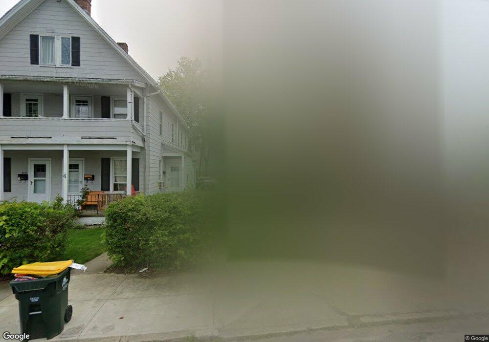
5 Meadow St Unit 2ND Ansonia, CT 06401
Estimated Value: $358,198 - $490,000
2
Beds
1
Bath
1,100
Sq Ft
$402/Sq Ft
Est. Value
About This Home
This home is located at 5 Meadow St Unit 2ND, Ansonia, CT 06401 and is currently estimated at $442,550, approximately $402 per square foot. 5 Meadow St Unit 2ND is a home located in New Haven County with nearby schools including Ansonia Middle School, Ansonia High School, and St Mary & St Michael School.
Ownership History
Date
Name
Owned For
Owner Type
Purchase Details
Closed on
Jul 23, 2012
Sold by
Hernandez Javier
Bought by
Dellibovi Lawrence
Current Estimated Value
Purchase Details
Closed on
Nov 24, 1999
Sold by
Manduley Yvette and Gerics Kna Yvette
Bought by
Rosa Christy M
Home Financials for this Owner
Home Financials are based on the most recent Mortgage that was taken out on this home.
Original Mortgage
$87,955
Interest Rate
7.77%
Purchase Details
Closed on
Aug 3, 1988
Sold by
Ribas Thomas
Bought by
Ribas Richard
Home Financials for this Owner
Home Financials are based on the most recent Mortgage that was taken out on this home.
Original Mortgage
$120,000
Interest Rate
10.36%
Create a Home Valuation Report for This Property
The Home Valuation Report is an in-depth analysis detailing your home's value as well as a comparison with similar homes in the area
Home Values in the Area
Average Home Value in this Area
Purchase History
| Date | Buyer | Sale Price | Title Company |
|---|---|---|---|
| Dellibovi Lawrence | $130,000 | -- | |
| Rosa Christy M | $88,000 | -- | |
| Ribas Richard | $150,000 | -- |
Source: Public Records
Mortgage History
| Date | Status | Borrower | Loan Amount |
|---|---|---|---|
| Previous Owner | Ribas Richard | $135,000 | |
| Previous Owner | Ribas Richard | $87,955 | |
| Previous Owner | Ribas Richard | $120,000 |
Source: Public Records
Tax History
| Year | Tax Paid | Tax Assessment Tax Assessment Total Assessment is a certain percentage of the fair market value that is determined by local assessors to be the total taxable value of land and additions on the property. | Land | Improvement |
|---|---|---|---|---|
| 2025 | $4,940 | $173,040 | $37,380 | $135,660 |
| 2024 | $4,584 | $173,040 | $37,380 | $135,660 |
| 2023 | $4,541 | $173,040 | $37,380 | $135,660 |
| 2022 | $4,105 | $108,600 | $38,500 | $70,100 |
| 2021 | $107,968 | $108,600 | $38,500 | $70,100 |
| 2020 | $4,105 | $108,600 | $38,500 | $70,100 |
| 2019 | $3,921 | $108,600 | $38,500 | $70,100 |
| 2018 | $3,797 | $108,600 | $38,500 | $70,100 |
| 2017 | $3,299 | $88,400 | $38,600 | $49,800 |
| 2016 | $3,299 | $88,400 | $38,600 | $49,800 |
| 2015 | $3,317 | $88,400 | $38,600 | $49,800 |
| 2014 | $3,413 | $88,400 | $38,600 | $49,800 |
| 2013 | $3,478 | $88,400 | $38,600 | $49,800 |
Source: Public Records
Map
Nearby Homes
- 39 Bassett St
- 106 Howard Ave
- 24 Lester St
- 93 Division St
- 7 Cook St
- 91 Division St
- 16 Holbrook Ct
- 185 Wakelee Ave
- 226 Seymour Ave Unit 228
- 4 Fairview Terrace
- 207 Westfield Ave
- 10 Clarkson St Unit 12
- 84 Hodge Ave
- 196 Hawkins St
- 110 Beaver St
- 45 Orchard St
- 4 N Spring St
- 124 Smith St
- 120 Smith St
- 141 Hawkins St
Your Personal Tour Guide
Ask me questions while you tour the home.