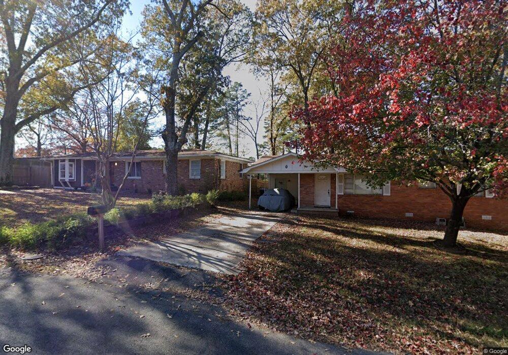
5 Michael Dr Little Rock, AR 72204
John Barrow NeighborhoodEstimated Value: $126,000 - $174,393
--
Bed
1
Bath
1,240
Sq Ft
$122/Sq Ft
Est. Value
About This Home
This home is located at 5 Michael Dr, Little Rock, AR 72204 and is currently estimated at $151,598, approximately $122 per square foot. 5 Michael Dr is a home located in Pulaski County with nearby schools including Brady Elementary School, J.A. Fair K8 Preparatory School, and Henderson Middle School.
Ownership History
Date
Name
Owned For
Owner Type
Purchase Details
Closed on
Feb 24, 2021
Sold by
L & T Abundance Property Group Llc
Bought by
Gilley-Mcnair Cassidy Raine and Gilley-Mcnair Christopher Lee
Current Estimated Value
Home Financials for this Owner
Home Financials are based on the most recent Mortgage that was taken out on this home.
Original Mortgage
$126,100
Outstanding Balance
$91,878
Interest Rate
2.2%
Mortgage Type
New Conventional
Estimated Equity
$59,720
Purchase Details
Closed on
Sep 9, 2020
Sold by
Dimmick Heather M and Dimmick Matthew
Bought by
L & T Abundance Property Group Llc
Home Financials for this Owner
Home Financials are based on the most recent Mortgage that was taken out on this home.
Original Mortgage
$66,350
Interest Rate
2.8%
Mortgage Type
Construction
Create a Home Valuation Report for This Property
The Home Valuation Report is an in-depth analysis detailing your home's value as well as a comparison with similar homes in the area
Home Values in the Area
Average Home Value in this Area
Purchase History
| Date | Buyer | Sale Price | Title Company |
|---|---|---|---|
| Gilley-Mcnair Cassidy Raine | $130,000 | Waco Title | |
| Gilley-Mcnair Cassidy Raine | $130,000 | Waco Title | |
| L & T Abundance Property Group Llc | $45,000 | Waco Title Company Conway | |
| L & T Abundance Property Group Llc | $45,000 | Waco Title Company Conway |
Source: Public Records
Mortgage History
| Date | Status | Borrower | Loan Amount |
|---|---|---|---|
| Open | Gilley-Mcnair Cassidy Raine | $126,100 | |
| Previous Owner | L & T Abundance Property Group Llc | $66,350 |
Source: Public Records
Tax History Compared to Growth
Tax History
| Year | Tax Paid | Tax Assessment Tax Assessment Total Assessment is a certain percentage of the fair market value that is determined by local assessors to be the total taxable value of land and additions on the property. | Land | Improvement |
|---|---|---|---|---|
| 2025 | $1,241 | $17,732 | $2,800 | $14,932 |
| 2024 | $1,241 | $17,732 | $2,800 | $14,932 |
| 2023 | $1,241 | $17,732 | $2,800 | $14,932 |
| 2022 | $1,241 | $17,732 | $2,800 | $14,932 |
| 2021 | $644 | $9,140 | $900 | $8,240 |
| 2020 | $265 | $9,140 | $900 | $8,240 |
| 2019 | $265 | $9,140 | $900 | $8,240 |
| 2018 | $290 | $9,140 | $900 | $8,240 |
| 2017 | $290 | $9,140 | $900 | $8,240 |
| 2016 | $452 | $11,590 | $2,700 | $8,890 |
| 2015 | $706 | $10,997 | $2,700 | $8,297 |
| 2014 | $706 | $10,077 | $2,700 | $7,377 |
Source: Public Records
Map
Nearby Homes
- Lot 9 Kanis Oaks Dr
- Lot 8 Kanis Oaks Dr
- 0000 Kanis Pines Dr
- Lot 42R Kanis Pines Dr
- Lot 39R Kanis Pines Dr
- 7921 Kanis Oaks Dr
- 8001 Kanis Pines Dr
- 1622 Village Lake Dr
- 1710 Village Lake Dr
- 1625 Village Lake Dr
- 1800 Labette Manor Dr
- 1813 Lynette Dr
- 1900 Labette Manor Dr
- 12600 Kanis Rd
- 8300 W 23rd St
- 9203 Labette Dr
- 3918 W 23rd St
- 8815 Cloverhill Rd
- 1515 E Twin Lakes Dr
- 8212 W 24th St