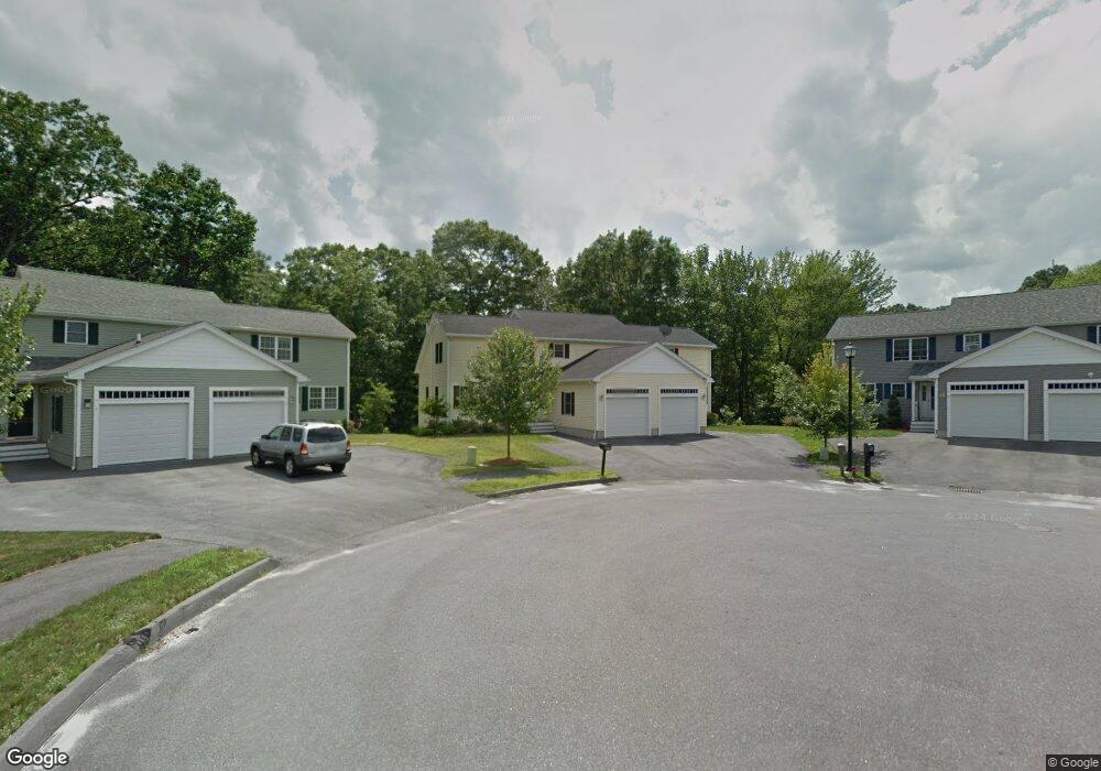
5 Mink Cir Worcester, MA 01604
Lake Park NeighborhoodEstimated Value: $407,000 - $517,000
3
Beds
3
Baths
2,040
Sq Ft
$230/Sq Ft
Est. Value
About This Home
This home is located at 5 Mink Cir, Worcester, MA 01604 and is currently estimated at $468,763, approximately $229 per square foot. 5 Mink Cir is a home located in Worcester County with nearby schools including Jacob Hiatt Magnet School, Chandler Magnet, and Lake View Elementary School.
Ownership History
Date
Name
Owned For
Owner Type
Purchase Details
Closed on
Jun 29, 2007
Sold by
Vokes Carol J and Vokes Norman A
Bought by
Bakerlis Julienne A
Current Estimated Value
Home Financials for this Owner
Home Financials are based on the most recent Mortgage that was taken out on this home.
Original Mortgage
$170,000
Outstanding Balance
$104,804
Interest Rate
6.24%
Mortgage Type
Purchase Money Mortgage
Estimated Equity
$363,959
Create a Home Valuation Report for This Property
The Home Valuation Report is an in-depth analysis detailing your home's value as well as a comparison with similar homes in the area
Home Values in the Area
Average Home Value in this Area
Purchase History
| Date | Buyer | Sale Price | Title Company |
|---|---|---|---|
| Bakerlis Julienne A | $270,000 | -- |
Source: Public Records
Mortgage History
| Date | Status | Borrower | Loan Amount |
|---|---|---|---|
| Open | Bakerlis Julienne A | $170,000 |
Source: Public Records
Tax History
| Year | Tax Paid | Tax Assessment Tax Assessment Total Assessment is a certain percentage of the fair market value that is determined by local assessors to be the total taxable value of land and additions on the property. | Land | Improvement |
|---|---|---|---|---|
| 2025 | $5,189 | $393,400 | $91,500 | $301,900 |
| 2024 | $4,956 | $360,400 | $91,500 | $268,900 |
| 2023 | $4,794 | $334,300 | $79,600 | $254,700 |
| 2022 | $4,365 | $287,000 | $63,700 | $223,300 |
| 2021 | $4,208 | $258,500 | $51,000 | $207,500 |
| 2020 | $4,134 | $243,200 | $51,000 | $192,200 |
| 2019 | $4,136 | $229,800 | $45,800 | $184,000 |
| 2018 | $4,124 | $218,100 | $45,800 | $172,300 |
| 2017 | $3,896 | $202,700 | $45,800 | $156,900 |
| 2016 | $3,772 | $183,000 | $34,300 | $148,700 |
| 2015 | $3,673 | $183,000 | $34,300 | $148,700 |
| 2014 | $3,576 | $183,000 | $34,300 | $148,700 |
Source: Public Records
Map
Nearby Homes
- 18 Palisades St
- 28 Nonquit St
- 496 Hamilton St
- 241 Lake Ave
- 51 Alvarado Ave Unit 204
- 360 Hamilton St
- 19 Middlesex Ave
- Lot B Crawford St
- 65 Lake Ave Unit 1008
- 65 Lake Ave Unit 510
- 293 Harrington Way
- 12 Brookside Place
- 35 Dustin St
- 41 Modoc St
- 70 S Quinsigamond Ave Unit 5
- 105 S Quinsigamond Ave
- 73 S Quinsigamond Ave
- 190 S Quinsigamond Ave Unit 102
- 60 Shrewsbury Green Dr Unit B
- 18 Shrewsbury Green Dr Unit I
Your Personal Tour Guide
Ask me questions while you tour the home.