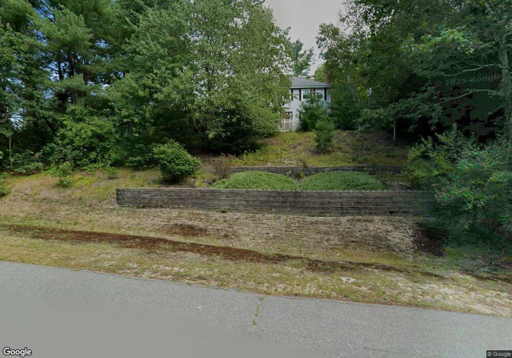
5 Muscatanipus Rd Brookline, NH 03033
Estimated Value: $691,015 - $745,000
3
Beds
3
Baths
2,714
Sq Ft
$265/Sq Ft
Est. Value
About This Home
This home is located at 5 Muscatanipus Rd, Brookline, NH 03033 and is currently estimated at $719,004, approximately $264 per square foot. 5 Muscatanipus Rd is a home with nearby schools including Richard Maghakian Memorial School, Captain Samuel Douglass Academy, and Hollis-Brookline Middle School.
Ownership History
Date
Name
Owned For
Owner Type
Purchase Details
Closed on
Apr 8, 2022
Sold by
Caulfield James P and Caulfield Lauren M
Bought by
Caulfield Ft
Current Estimated Value
Create a Home Valuation Report for This Property
The Home Valuation Report is an in-depth analysis detailing your home's value as well as a comparison with similar homes in the area
Home Values in the Area
Average Home Value in this Area
Purchase History
| Date | Buyer | Sale Price | Title Company |
|---|---|---|---|
| Caulfield Ft | -- | None Available |
Source: Public Records
Tax History Compared to Growth
Tax History
| Year | Tax Paid | Tax Assessment Tax Assessment Total Assessment is a certain percentage of the fair market value that is determined by local assessors to be the total taxable value of land and additions on the property. | Land | Improvement |
|---|---|---|---|---|
| 2024 | $14,210 | $628,500 | $207,700 | $420,800 |
| 2023 | $13,060 | $628,500 | $207,700 | $420,800 |
| 2022 | $11,615 | $390,800 | $125,000 | $265,800 |
| 2021 | $11,169 | $390,800 | $125,000 | $265,800 |
| 2020 | $10,864 | $390,800 | $125,000 | $265,800 |
| 2019 | $11,673 | $390,800 | $125,000 | $265,800 |
| 2018 | $11,283 | $381,700 | $125,000 | $256,700 |
| 2017 | $9,892 | $300,300 | $99,100 | $201,200 |
| 2016 | $9,442 | $290,000 | $94,400 | $195,600 |
| 2015 | $9,005 | $290,000 | $94,400 | $195,600 |
| 2014 | $9,527 | $290,000 | $94,400 | $195,600 |
| 2013 | $9,173 | $290,000 | $94,400 | $195,600 |
Source: Public Records
Map
Nearby Homes
- 15 N End Rd
- 364 Townsend Hill Rd
- 7 Winterberry Rd
- 9 Winterberry Rd
- 55 Oak Hill Rd
- 46 Oak Hill Rd
- 6 High Oaks Path
- 0 Brookline St
- 6 Flint Meadow Dr
- 21 Cranberry St
- 64 Meadow Rd
- 22 Hobart Hill Rd
- 167 Route 13
- 28A Rocky Pond Rd
- 110 Haynes Rd
- 1235 Townsend Rd
- 5 Carons Way
- 91 Highland St
- 179 Brookline St
- 75 Highland St