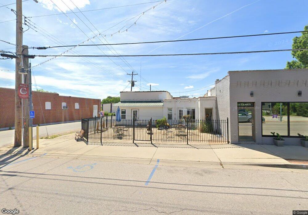
5 N Main St Saint Clair, MO 63077
Estimated Value: $234,000
Studio
--
Bath
1,306
Sq Ft
$179/Sq Ft
Est. Value
About This Home
This home is located at 5 N Main St, Saint Clair, MO 63077 and is currently estimated at $234,000, approximately $179 per square foot. 5 N Main St is a home located in Franklin County with nearby schools including St. Clair Elementary School, Edgar Murray Elementary School, and St. Clair Junior High School.
Ownership History
Date
Name
Owned For
Owner Type
Purchase Details
Closed on
Mar 10, 2025
Sold by
Latimer Scott A
Bought by
Latimer Patricia L
Current Estimated Value
Purchase Details
Closed on
Dec 30, 2016
Sold by
Mise En Place Llc
Bought by
Latimer Scott A and Latimer Patricia L
Purchase Details
Closed on
Jan 10, 2011
Sold by
Latimer Scott A and Latimer Patricia L
Bought by
Mise En Place Llc
Purchase Details
Closed on
May 28, 2010
Sold by
Kamper Harvey L and Kamper Deborah L
Bought by
Latimer Scott A and Latimer Patricia L
Home Financials for this Owner
Home Financials are based on the most recent Mortgage that was taken out on this home.
Original Mortgage
$39,650
Interest Rate
7%
Mortgage Type
Commercial
Create a Home Valuation Report for This Property
The Home Valuation Report is an in-depth analysis detailing your home's value as well as a comparison with similar homes in the area
Home Values in the Area
Average Home Value in this Area
Purchase History
| Date | Buyer | Sale Price | Title Company |
|---|---|---|---|
| Latimer Patricia L | -- | None Listed On Document | |
| Latimer Scott A | -- | -- | |
| Mise En Place Llc | -- | None Available | |
| Latimer Scott A | -- | None Available |
Source: Public Records
Mortgage History
| Date | Status | Borrower | Loan Amount |
|---|---|---|---|
| Previous Owner | Latimer Scott A | $39,650 |
Source: Public Records
Tax History
| Year | Tax Paid | Tax Assessment Tax Assessment Total Assessment is a certain percentage of the fair market value that is determined by local assessors to be the total taxable value of land and additions on the property. | Land | Improvement |
|---|---|---|---|---|
| 2025 | $1,677 | $23,235 | $0 | $0 |
| 2024 | $1,677 | $23,341 | $0 | $0 |
| 2023 | $1,545 | $23,341 | $0 | $0 |
| 2022 | $1,411 | $21,229 | $0 | $0 |
| 2021 | $1,409 | $21,229 | $0 | $0 |
| 2020 | $1,349 | $19,565 | $0 | $0 |
| 2019 | $1,339 | $19,565 | $0 | $0 |
| 2018 | $1,170 | $16,902 | $0 | $0 |
| 2017 | $1,168 | $16,902 | $0 | $0 |
| 2016 | $1,120 | $16,186 | $0 | $0 |
| 2015 | $1,044 | $16,186 | $0 | $0 |
| 2014 | $1,047 | $16,246 | $0 | $0 |
Source: Public Records
Map
Nearby Homes
- 325 Iris Ct
- 235 E Oak St
- 330 Young St
- 605 N Main St
- 45 E Oak St
- 390 Highway Dr
- 208 Mosley Ave
- 5 Lots Mosley Ave
- 315 W Oak St
- 1322 Casey Ave
- 347 Roller Rd
- 909 Q Ave
- 0 Crescent Lake Rd Unit MIS25079528
- 322 Cart Path Ln
- 0 Oak Ridge Dr Unit MIS25078521
- 555 Mulligan Ct
- 0 Gravois Rd Unit 11555468
- 614 T-Box Dr
- 1638 Neff Rd
- 445 Lakeshore Dr
Your Personal Tour Guide
Ask me questions while you tour the home.