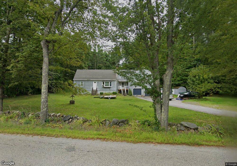
5 New Boston Rd Newton, NH 03858
Estimated Value: $551,059 - $645,000
3
Beds
2
Baths
2,412
Sq Ft
$250/Sq Ft
Est. Value
About This Home
This home is located at 5 New Boston Rd, Newton, NH 03858 and is currently estimated at $603,765, approximately $250 per square foot. 5 New Boston Rd is a home located in Rockingham County with nearby schools including Memorial School, Sanborn Regional Middle School, and Sanborn Regional High School.
Ownership History
Date
Name
Owned For
Owner Type
Purchase Details
Closed on
Jun 18, 2010
Sold by
Brians David L and Smith Diane
Bought by
White Daniel J and White Kerri N
Current Estimated Value
Home Financials for this Owner
Home Financials are based on the most recent Mortgage that was taken out on this home.
Original Mortgage
$251,611
Outstanding Balance
$169,126
Interest Rate
5.03%
Mortgage Type
Purchase Money Mortgage
Estimated Equity
$434,639
Purchase Details
Closed on
Apr 27, 2005
Sold by
Mosher Scott A and Mosher Janis H
Bought by
Smith Diane and Brians David L
Home Financials for this Owner
Home Financials are based on the most recent Mortgage that was taken out on this home.
Original Mortgage
$190,000
Interest Rate
5.95%
Create a Home Valuation Report for This Property
The Home Valuation Report is an in-depth analysis detailing your home's value as well as a comparison with similar homes in the area
Home Values in the Area
Average Home Value in this Area
Purchase History
| Date | Buyer | Sale Price | Title Company |
|---|---|---|---|
| White Daniel J | $255,000 | -- | |
| Smith Diane | $335,000 | -- |
Source: Public Records
Mortgage History
| Date | Status | Borrower | Loan Amount |
|---|---|---|---|
| Open | White Daniel J | $63,141 | |
| Open | White Daniel J | $251,611 | |
| Previous Owner | Smith Diane | $190,000 |
Source: Public Records
Tax History Compared to Growth
Tax History
| Year | Tax Paid | Tax Assessment Tax Assessment Total Assessment is a certain percentage of the fair market value that is determined by local assessors to be the total taxable value of land and additions on the property. | Land | Improvement |
|---|---|---|---|---|
| 2024 | $8,288 | $326,700 | $119,600 | $207,100 |
| 2023 | $8,040 | $326,700 | $119,600 | $207,100 |
| 2022 | $7,347 | $326,700 | $119,600 | $207,100 |
| 2021 | $6,828 | $326,700 | $119,600 | $207,100 |
| 2020 | $6,828 | $326,700 | $119,600 | $207,100 |
| 2019 | $6,943 | $263,200 | $84,600 | $178,600 |
| 2018 | $6,733 | $263,200 | $84,600 | $178,600 |
| 2017 | $6,996 | $263,200 | $84,600 | $178,600 |
| 2016 | $6,885 | $263,200 | $84,600 | $178,600 |
| 2015 | $6,888 | $263,200 | $84,600 | $178,600 |
| 2014 | $6,921 | $266,800 | $92,600 | $174,200 |
| 2013 | $6,750 | $266,800 | $92,600 | $174,200 |
Source: Public Records
Map
Nearby Homes
- 43 Maple Ave
- 17 Maple Ave
- 155 Chase Rd
- 9 Bowley Rd
- 21 Marcoux Rd
- 56 Whittier St
- 7 Coopers Grove Rd
- 142 Haverhill Rd
- 7 Grebenstein Dr
- 4 Currier St
- 129 Haverhill Rd
- 21 Currier St
- 40 Coopers Grove Rd
- 15 Maple St
- 57b New Boston Rd
- 62 & 43 Wilders Grove Rd
- 11 & 13 Dulcies Point Rd
- 8 Dulcies Point Rd
- 12 Dulcies Point Rd
- 43 Main Ave