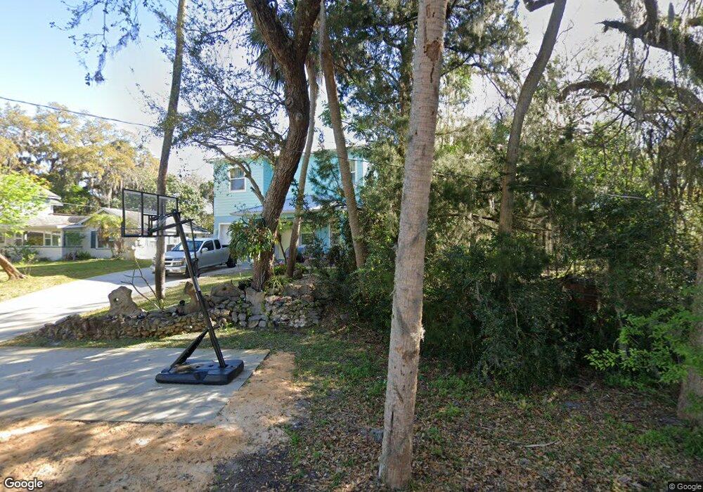
5 Oak St Port Orange, FL 32127
Harbor Oaks NeighborhoodEstimated Value: $327,000 - $579,000
4
Beds
4
Baths
3,010
Sq Ft
$149/Sq Ft
Est. Value
About This Home
This home is located at 5 Oak St, Port Orange, FL 32127 and is currently estimated at $449,282, approximately $149 per square foot. 5 Oak St is a home located in Volusia County with nearby schools including Port Orange Elementary School, Silver Sands Middle School, and Spruce Creek High School.
Ownership History
Date
Name
Owned For
Owner Type
Purchase Details
Closed on
Aug 29, 2002
Sold by
Dyer Jeffrey J and Dyer Linda S
Bought by
Lehman Craig E
Current Estimated Value
Home Financials for this Owner
Home Financials are based on the most recent Mortgage that was taken out on this home.
Original Mortgage
$85,500
Outstanding Balance
$35,899
Interest Rate
6.31%
Estimated Equity
$413,383
Purchase Details
Closed on
May 15, 1990
Bought by
Lehman Nikki M
Purchase Details
Closed on
Oct 15, 1984
Bought by
Lehman Nikki M
Purchase Details
Closed on
Feb 15, 1984
Bought by
Lehman Nikki M
Purchase Details
Closed on
Sep 15, 1982
Bought by
Lehman Nikki M
Create a Home Valuation Report for This Property
The Home Valuation Report is an in-depth analysis detailing your home's value as well as a comparison with similar homes in the area
Home Values in the Area
Average Home Value in this Area
Purchase History
| Date | Buyer | Sale Price | Title Company |
|---|---|---|---|
| Lehman Craig E | $90,000 | -- | |
| Lehman Nikki M | $65,000 | -- | |
| Lehman Nikki M | $52,500 | -- | |
| Lehman Nikki M | $12,500 | -- | |
| Lehman Nikki M | $10,000 | -- |
Source: Public Records
Mortgage History
| Date | Status | Borrower | Loan Amount |
|---|---|---|---|
| Open | Lehman Craig E | $85,500 |
Source: Public Records
Tax History Compared to Growth
Tax History
| Year | Tax Paid | Tax Assessment Tax Assessment Total Assessment is a certain percentage of the fair market value that is determined by local assessors to be the total taxable value of land and additions on the property. | Land | Improvement |
|---|---|---|---|---|
| 2025 | $750 | $87,625 | -- | -- |
| 2024 | $750 | $85,156 | -- | -- |
| 2023 | $750 | $82,676 | $0 | $0 |
| 2022 | $776 | $80,268 | $0 | $0 |
| 2021 | $773 | $77,930 | $0 | $0 |
| 2020 | $750 | $76,854 | $0 | $0 |
| 2019 | $673 | $67,842 | $0 | $0 |
| 2018 | $679 | $66,577 | $0 | $0 |
| 2017 | $688 | $65,208 | $0 | $0 |
| 2016 | $686 | $63,867 | $0 | $0 |
| 2015 | $717 | $63,423 | $0 | $0 |
| 2014 | $723 | $62,920 | $0 | $0 |
Source: Public Records
Map
Nearby Homes
- 61 E Bayshore Dr
- 88 E Bayshore Dr
- 24 Oak St
- 18 E Magnolia Ave
- 5952 Riverside Dr
- 5948 Riverside Dr
- 5563 W Magnolia Ave
- 5561 Magnolia Ave
- 5967 Riverside Dr
- 5585 Lancewood Cir S
- 5540 W Bayshore Dr
- 5650 Palm Ave
- 5508 Lancewood Cir N
- 5961 S Ridgewood Ave
- 1424 Breaks Way
- 5478 Landis Ave
- 325 Acacia Dr
- 5445 Turton Ln
- 276 Farmbrook Rd
- 720 Palm Cir Dr