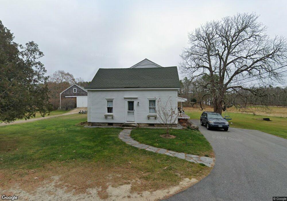
5 Old Flying Point Rd Freeport, ME 04032
Estimated Value: $990,487 - $1,119,000
3
Beds
3
Baths
2,532
Sq Ft
$406/Sq Ft
Est. Value
About This Home
This home is located at 5 Old Flying Point Rd, Freeport, ME 04032 and is currently estimated at $1,029,122, approximately $406 per square foot. 5 Old Flying Point Rd is a home located in Cumberland County with nearby schools including Morse Street School, Mast Landing School, and Freeport Middle School.
Ownership History
Date
Name
Owned For
Owner Type
Purchase Details
Closed on
Nov 15, 2017
Sold by
Fournier Lucas A
Bought by
Fournier Lucas A and Fournier Paige P
Current Estimated Value
Home Financials for this Owner
Home Financials are based on the most recent Mortgage that was taken out on this home.
Original Mortgage
$233,000
Interest Rate
3.85%
Mortgage Type
New Conventional
Create a Home Valuation Report for This Property
The Home Valuation Report is an in-depth analysis detailing your home's value as well as a comparison with similar homes in the area
Home Values in the Area
Average Home Value in this Area
Purchase History
| Date | Buyer | Sale Price | Title Company |
|---|---|---|---|
| Fournier Lucas A | -- | -- |
Source: Public Records
Mortgage History
| Date | Status | Borrower | Loan Amount |
|---|---|---|---|
| Closed | Fournier Lucas A | $233,000 |
Source: Public Records
Tax History Compared to Growth
Tax History
| Year | Tax Paid | Tax Assessment Tax Assessment Total Assessment is a certain percentage of the fair market value that is determined by local assessors to be the total taxable value of land and additions on the property. | Land | Improvement |
|---|---|---|---|---|
| 2024 | $7,800 | $584,300 | $258,000 | $326,300 |
| 2023 | $7,194 | $523,200 | $235,000 | $288,200 |
| 2022 | $6,880 | $504,000 | $215,800 | $288,200 |
| 2021 | $6,730 | $504,100 | $215,900 | $288,200 |
| 2020 | $6,608 | $472,000 | $201,000 | $271,000 |
| 2019 | $6,232 | $435,800 | $178,300 | $257,500 |
| 2018 | $5,480 | $364,100 | $171,200 | $192,900 |
| 2017 | $4,425 | $296,000 | $167,100 | $128,900 |
| 2016 | $4,345 | $275,000 | $155,200 | $119,800 |
| 2015 | $4,138 | $246,300 | $140,100 | $106,200 |
| 2014 | $3,895 | $246,500 | $140,300 | $106,200 |
| 2013 | $3,931 | $248,000 | $136,700 | $111,300 |
Source: Public Records
Map
Nearby Homes
- 34 Newfield Rd
- 15 Tinkers Way
- 11 Orchard Hill Rd
- 212 Main St
- 1260 Us Route 1
- 0 Prout Rd
- 1612 U S Route 1
- 31 Allen Range Rd
- 83 Central Ave
- 15 Percy St
- 10 Durham Rd
- 42 Durham Rd
- 46 Blackstone Club Rd
- 71 Merganser Way
- 26 Harvest Ridge Rd Unit 24
- 853 Mere Point Rd
- 1595 U S Route 1
- 8 Statler Ln
- 46 Casco Rd
- 5 Round Hill Ln
- 8 Old Flying Point Rd
- 3 Fournier Dr
- 10 Old Flying Point Rd
- 5 Fournier Dr
- 1 Harolds Way
- 3 Wolfe's Neck Rd
- 3 Wolfes Neck Rd
- 78 Flying Point Rd
- 0 Wolf's Neck Rd Unit 1242843
- 000 Wolfes Neck Rd
- 00 Wolfe's Neck
- 0 Wolfs Neck Rd Unit 1158023
- 82 Flying Point Rd
- 13 Old Flying Point Rd
- 44 Patterson Wheel Track
- 1 Old Flying Point Rd
- 1 Old Flying Point Rd
- 3 Harolds Way
- 00 Litchfield Rd
- 0 Litchfield Road (East) Unit 984027