5 Old North Branch Rd Antrim, NH 03440
Estimated Value: $400,000 - $471,000
3
Beds
3
Baths
2,074
Sq Ft
$210/Sq Ft
Est. Value
About This Home
This home is located at 5 Old North Branch Rd, Antrim, NH 03440 and is currently estimated at $435,388, approximately $209 per square foot. 5 Old North Branch Rd is a home with nearby schools including Antrim Elementary School, Great Brook School, and Conval Regional High School.
Ownership History
Date
Name
Owned For
Owner Type
Purchase Details
Closed on
Jul 29, 2002
Sold by
Cutter Michael D and Cutter Denise M
Bought by
Desmet Ann B
Current Estimated Value
Home Financials for this Owner
Home Financials are based on the most recent Mortgage that was taken out on this home.
Original Mortgage
$95,000
Outstanding Balance
$40,716
Interest Rate
6.73%
Estimated Equity
$394,672
Create a Home Valuation Report for This Property
The Home Valuation Report is an in-depth analysis detailing your home's value as well as a comparison with similar homes in the area
Home Values in the Area
Average Home Value in this Area
Purchase History
| Date | Buyer | Sale Price | Title Company |
|---|---|---|---|
| Desmet Ann B | $150,000 | -- |
Source: Public Records
Mortgage History
| Date | Status | Borrower | Loan Amount |
|---|---|---|---|
| Open | Desmet Ann B | $15,000 | |
| Open | Desmet Ann B | $95,000 |
Source: Public Records
Tax History Compared to Growth
Tax History
| Year | Tax Paid | Tax Assessment Tax Assessment Total Assessment is a certain percentage of the fair market value that is determined by local assessors to be the total taxable value of land and additions on the property. | Land | Improvement |
|---|---|---|---|---|
| 2024 | $6,198 | $298,120 | $110,300 | $187,820 |
| 2023 | $5,587 | $298,120 | $110,300 | $187,820 |
| 2022 | $5,006 | $179,680 | $48,200 | $131,480 |
| 2021 | $4,684 | $179,680 | $48,200 | $131,480 |
| 2020 | $5,130 | $179,680 | $48,200 | $131,480 |
| 2019 | $4,846 | $179,680 | $48,200 | $131,480 |
| 2018 | $5,026 | $179,680 | $48,200 | $131,480 |
| 2016 | $4,427 | $158,290 | $40,200 | $118,090 |
| 2015 | $4,389 | $158,290 | $40,200 | $118,090 |
| 2012 | $4,918 | $207,780 | $55,170 | $152,610 |
Source: Public Records
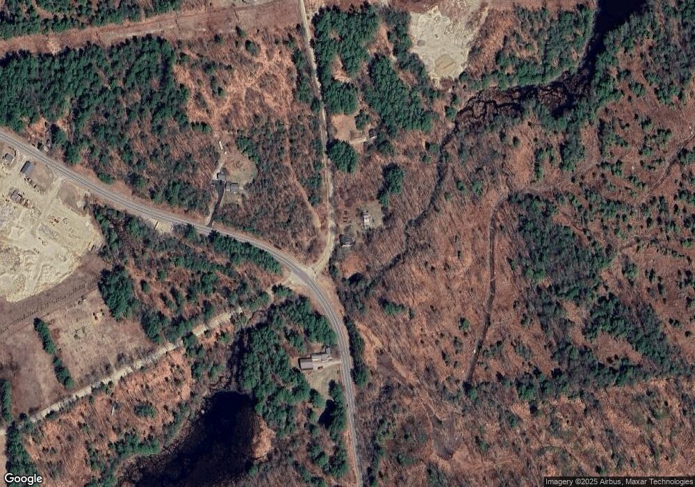
Map
Nearby Homes
- 204 Keene Rd
- 00 Keene Rd
- 0 Meetinghouse Hill Rd Unit 37
- 60 Wheelers Cove
- 0 Reed Carr Rd Unit 12 5051404
- 15 Knapton Cir
- 1 Pierce Lake Rd
- 0 Bridle Path Rd Unit 5024544
- 51 Whiton Rd
- 0 Whiton Rd Unit 55
- 0 Craig Rd Unit 5046605
- 162 Rocky Ledge Rd
- 50 Mulhall Farm Rd
- 000 Gibson Mountain Rd Unit 10
- 1 Goodell Rd
- 0 Concord St Unit 5041004
- 165 Second New Hampshire Turnpike
- 134 Hall Rd
- 8 Wallace St
- 298 2nd New Hampshire Turnpike Unit 10-038-000
- 444 Clinton Rd
- 457 Clinton Rd
- 0 Cemetery Rd
- 28 Old North Branch Rd
- 470 Clinton Rd
- 467 Clinton Rd
- 30 Old North Branch Rd
- 27 Cemetery Rd
- 0 Rte 9
- 0 Route 9
- 0 Route 9 Unit 2735758
- 31 Cemetery Rd
- 36 Brown Ave
- 0 Old North Branch Rd Unit 4989899
- 0 Old North Branch Rd Unit 213-071 4968651
- 32 Cemetery Rd
- 41 Old North Branch Rd
- 41 Old North Branch Rd
- 412 Clinton Rd
- 45 Old North Branch Rd